Tropical Storm Sean
Tropical Storm Sean has developed in the mid-Atlantic and is moving northwest, but is predicted to dissipate by Sunday, 2023-10-15. RealEarth provides an opportunity to look back at the last 48 hours of Sean developing. A video from RealEarth shows GOES-16 true color and Band 13 (10.3 microns, “clean” infrared band) from 2023-10-11 at 1525Z to 2023-10-13 at 1525Z. While signs of convection are apparent on 2023-10-12, the storm structure appears dissipated by the daylight hours of 2023-10-13 when viewing at these wavelengths.
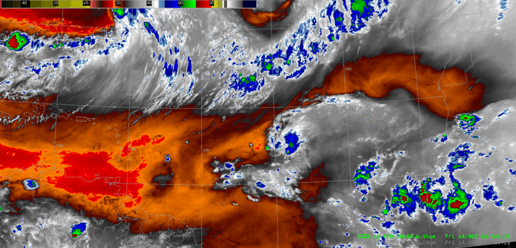
Investigating the finer details of Sean on 2023-10-13, Band 9 (6.95 microns, mid-level water vapor) is examined. A storm structure is hardly noticeable. What stands out in the Atlantic even more in the Band 9 animation is an unnamed disturbance to the East of Sean. (These are the red areas in the Band 9 animation.) The National Hurricane Center predicts this system of having a 10% chance of forming a cyclone in the next 48 hours.

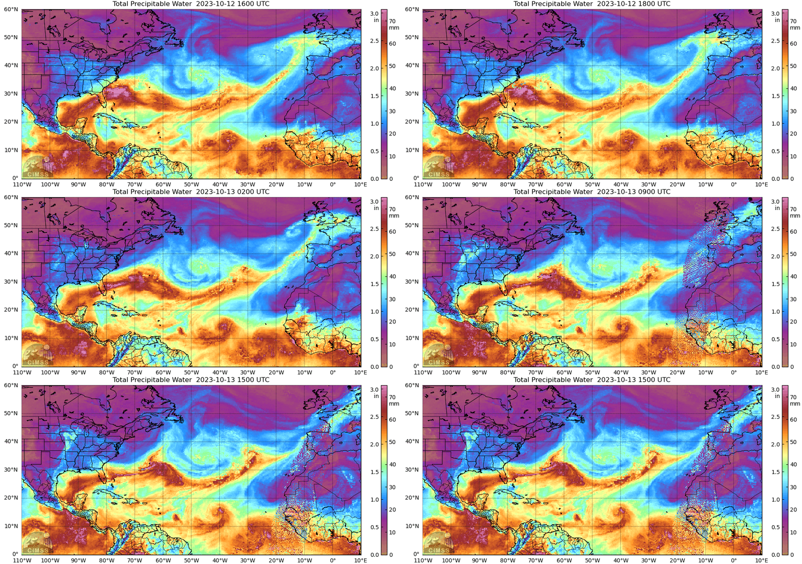
The MIMIC Total Precipitable Water product, below, provides a look back at the last 24 hours of their TPW field. When examining TPW, a more cyclonic structure appears. The TPW field seems to show some actual rotation in Sean, which is harder to notice in the GOES animations.


