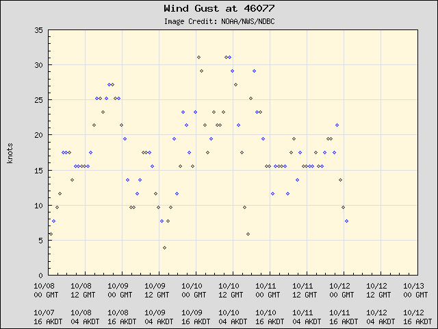
Resuspended volcanic ash from the 1912 Novarupta-Katmai eruption
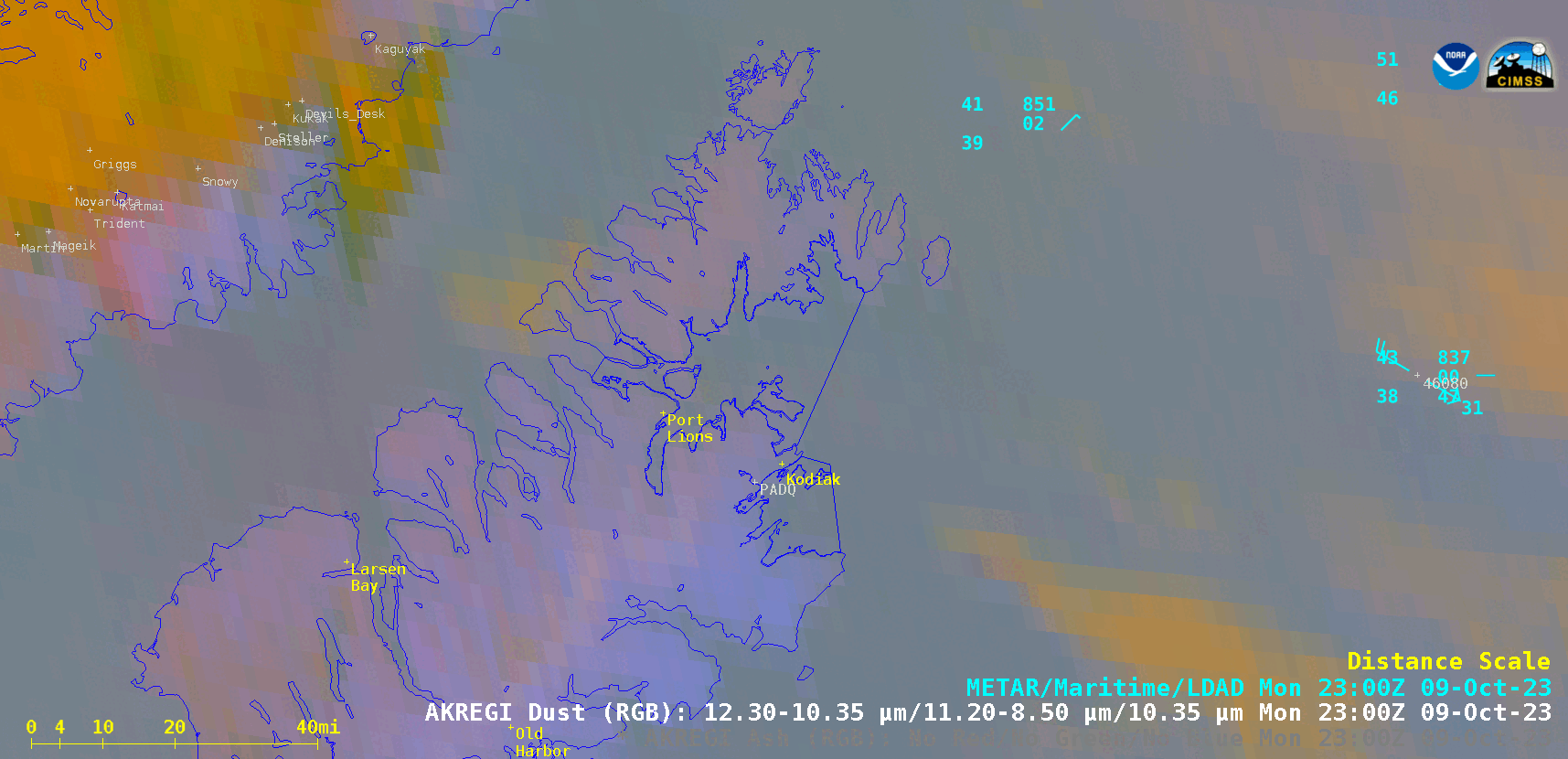
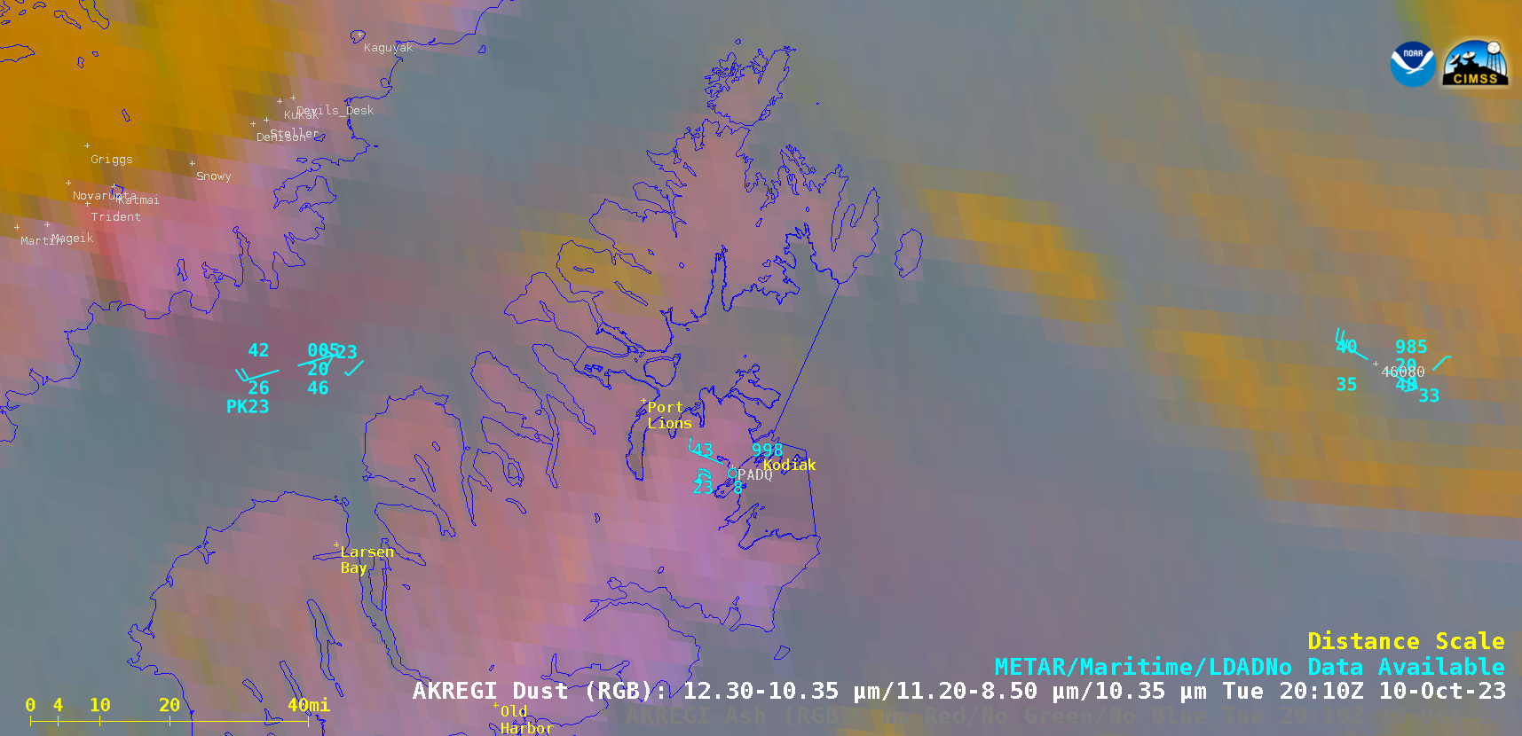
GOES-18 Dust RGB images, from 2330 UTC on 09 October to 0100 UTC on 11 October [click to play animated GIF | MP4]
GOES-18 Dust RGB and Topography images [click to enlarge]
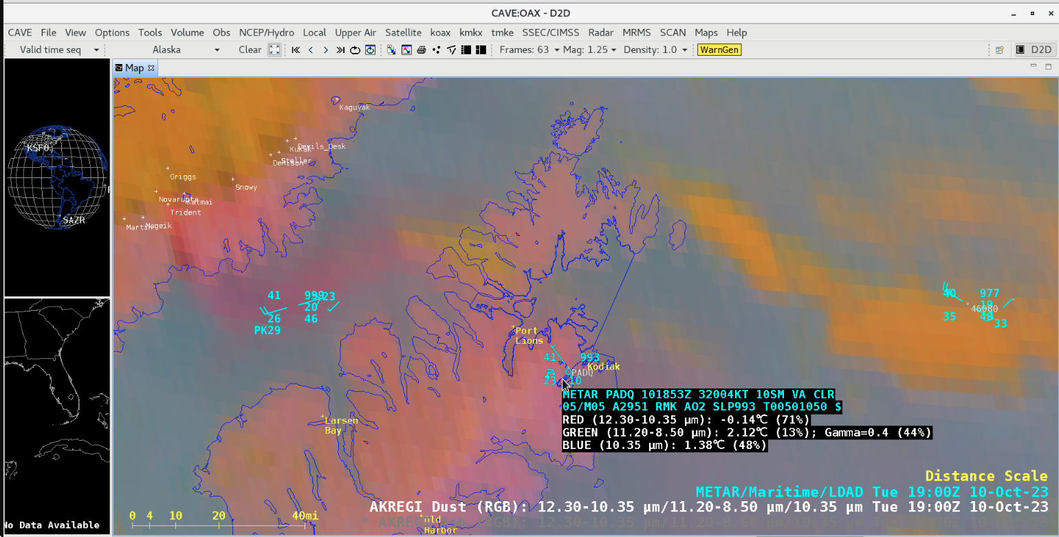
GOES-18 Dust RGB image at 1900 UTC, with a cursor sample of the Kodiak Airport METAR report [click to enlarge]
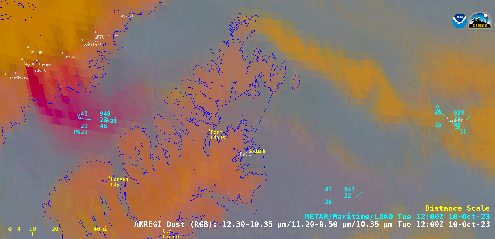
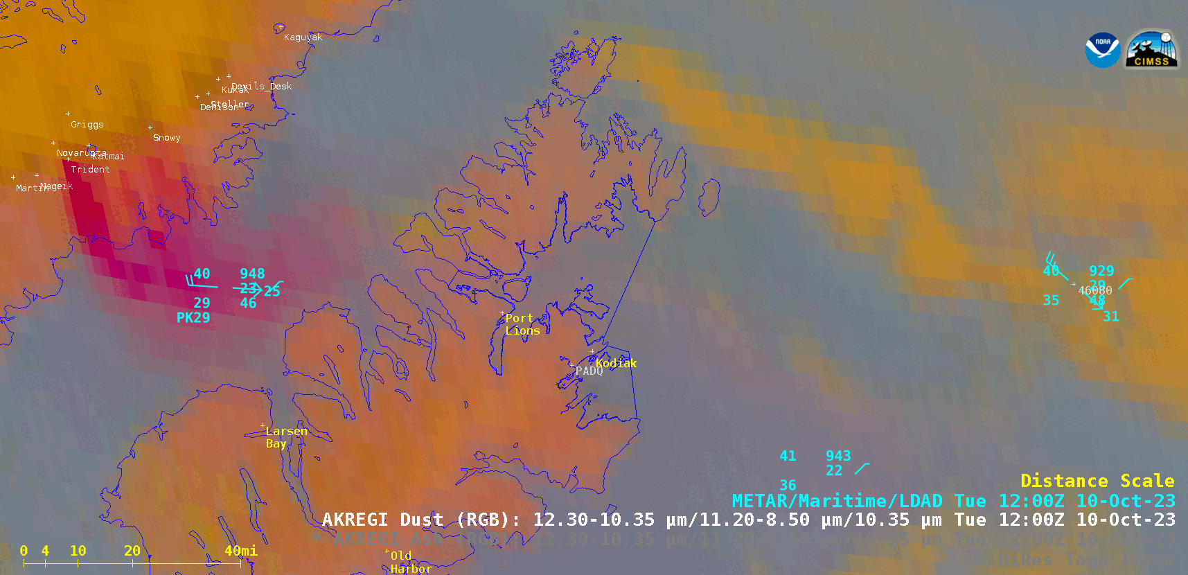
GOES-18 Dust RGB and Ash RGB images at 1200 UTC [click to enlarge]
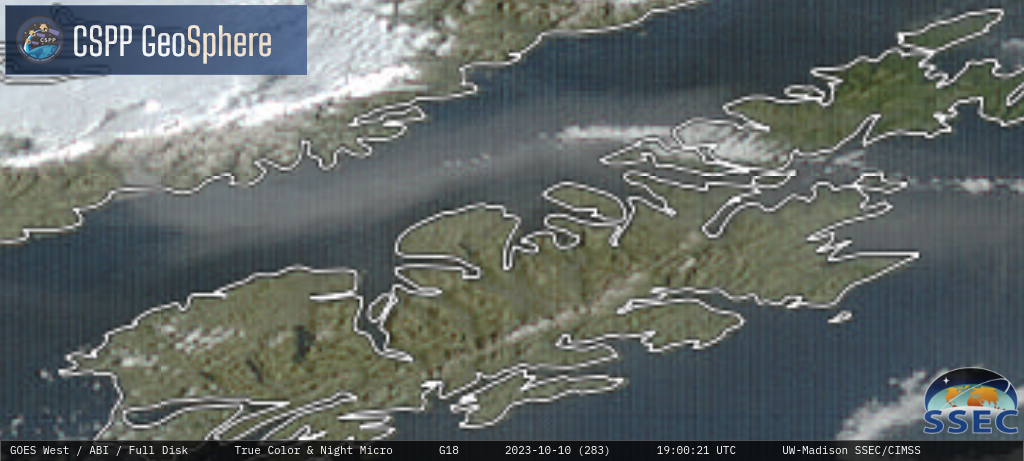
GOES-18 daytime True Color RGB and Nighttime Microphysics RGB images [click to play MP4 animation]