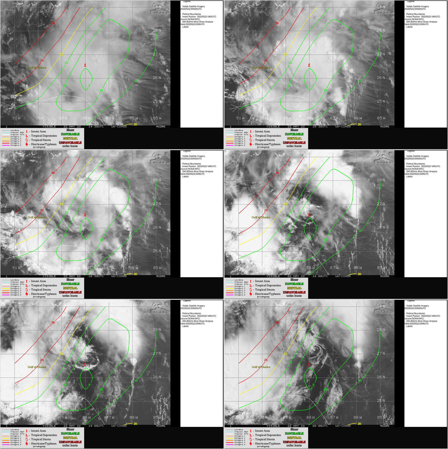
Tropical Invest 90L in the Gulf of Mexico
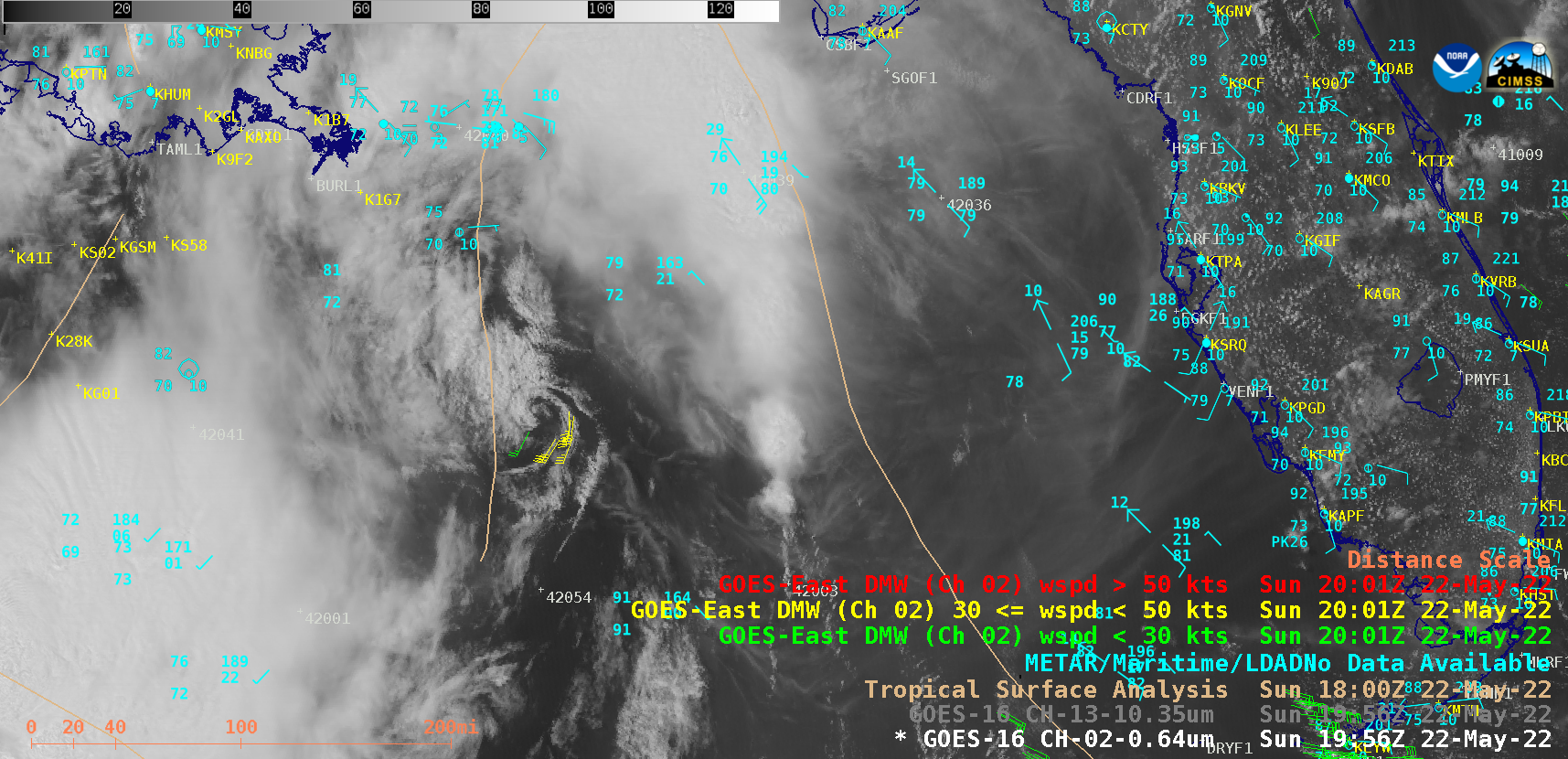
GOES-16 (GOES-East) “Red” Visible (0.64 µm) and “Clean” Infrared Window (10.35 µm) images (above) showed that a decaying Mesoscale Convective System (MCS) produced a low-level Mesoscale Convective Vortex (MCV) over the Gulf of Mexico on 22 May 2022. The coldest MCS overshooting tops exhibited infrared brightness temperature of -77C around 1401 UTC. GOES-16 Visible (ABI spectral Band 2) Derived Motion Winds tracked MCV cloud motions with velocities as high as 38 knots. As the MCV approached the Gulf Coast, its vorticity to helped to initiate the development of new convection just to the north.GOES-16 Visible images from the CIMSS Tropical Cyclones site (below) include contours of deep-layer wind shear at 20 UTC — and showed that Invest 90L was moving northward in an environment characterized by low values of shear.