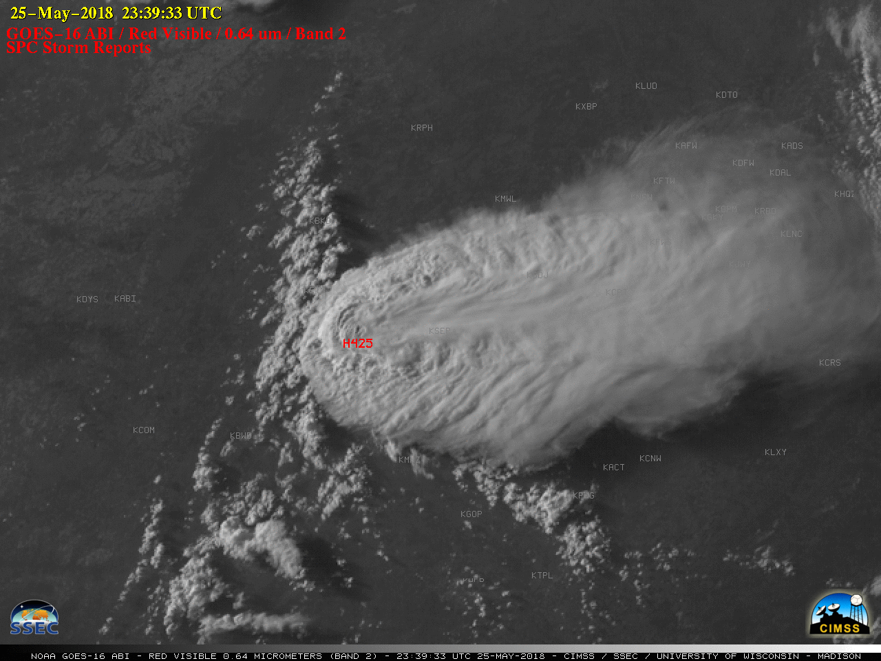
Large hail in North Texas

GOES-16 “Red” Visible (0.64 um) images, with SPC Storm Reports plotted in red [click to play animation | MP4]
After sunset, GOES-16 Nighttime Microphysics Red-Green-Blue (RGB) images (below) revealed the northeast-to-southwest oriented hail swath.
![GOES-16 Nighttime Microphysics RGB images [click to play animation | MP4]](https://cimss.ssec.wisc.edu/satellite-blog/images/2018/05/GOES-16_ABI_RadC_night_microphysics_2018146_030225Z_anot.png)
GOES-16 Nighttime Microphysics RGB images [click to play animation | MP4]

