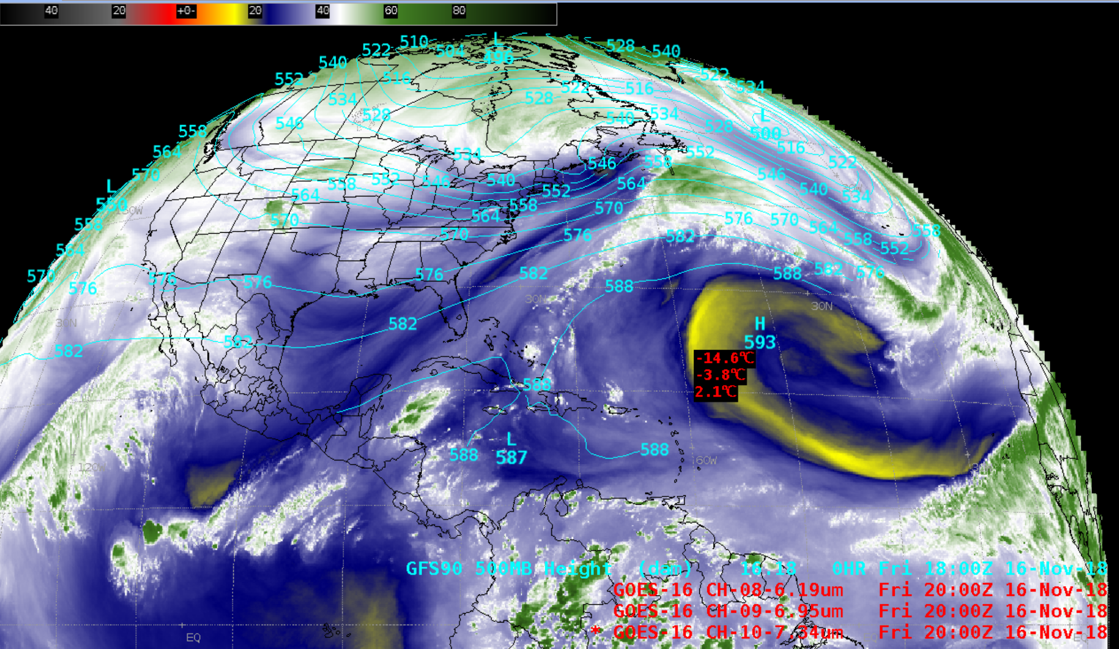
Dry air within an Atlantic subtropical ridge
![GOES-16 Low-level (7.3 µm), Mid-level (6.9 µm) and Upper-level (6.2 µm) Water Vapor images [click to play animation | MP4]](https://cimss.ssec.wisc.edu/satellite-blog/wp-content/uploads/sites/5/2018/11/181116_goes16_waterVapor_Atlantic_ridge_anim.gif)
GOES-16 Low-level (7.3 µm), Mid-level (6.9 µm) and Upper-level (6.2 µm) Water Vapor images [click to play animation | MP4]
A GOES-16 Upper-level Water Vapor image at 1700 UTC (below) showed a swath of NUCAPS sounding availability close to that time. The swath passed directly over the driest air within the subtropical ridge.
![GOES-16 Upper-level (6.2 µm) Water Vapor image at 1700 UTC, with a swath of NUCAPS sounding availability [click to enlarge]](https://cimss.ssec.wisc.edu/satellite-blog/wp-content/uploads/sites/5/2018/11/181116_17utc_nucaps_swath.png)
GOES-16 Upper-level Water Vapor image at 1700 UTC, with a swath of NUCAPS sounding availability [click to enlarge]
![NUCAPS sounding profile within the driest air [click to enlarge]](https://cimss.ssec.wisc.edu/satellite-blog/wp-content/uploads/sites/5/2018/11/181116_17utc_nucaps_sounding_dry_air.png)
NUCAPS sounding profile within the driest air [click to enlarge]
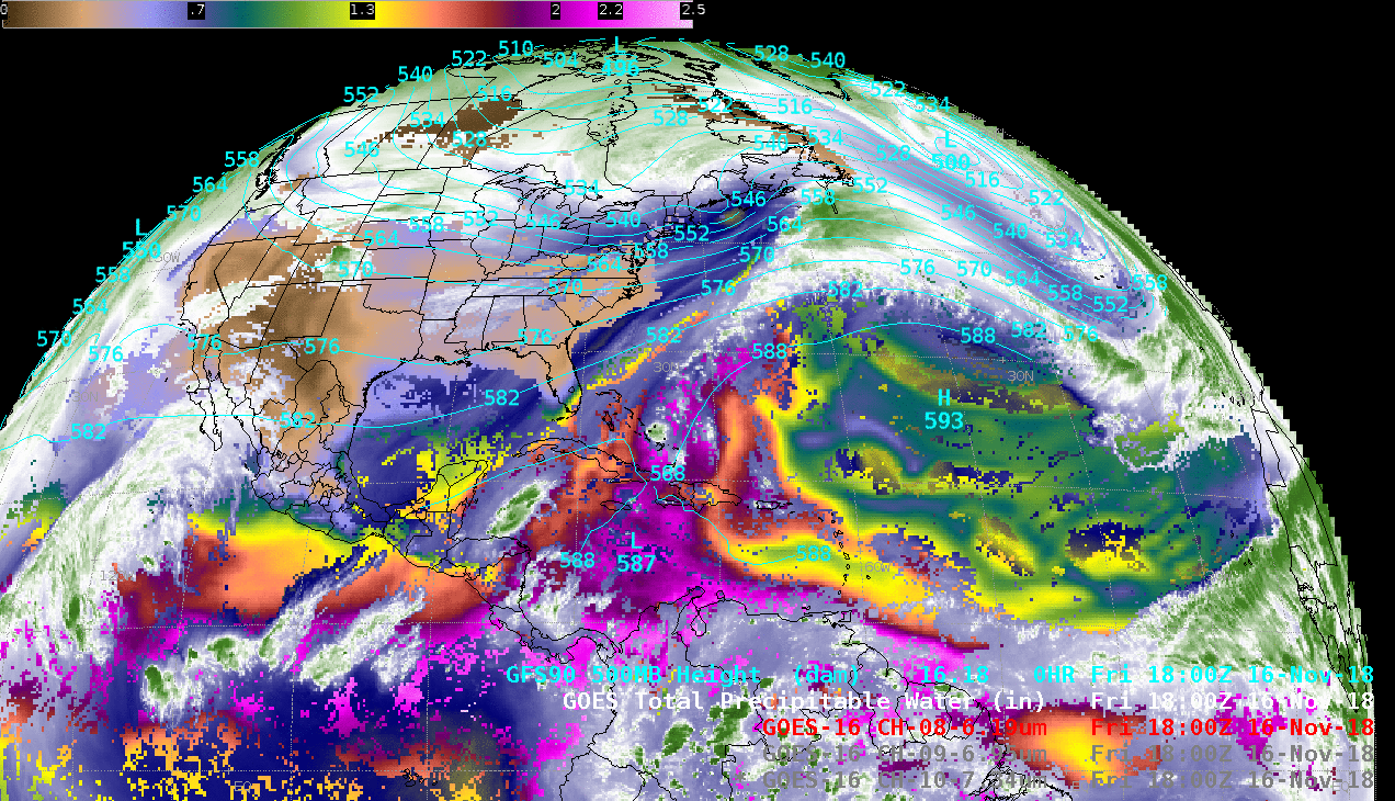
![GOES-16 Upper-level Water Vapor + Total Precipitable Water [click to play animation | MP4]](https://cimss.ssec.wisc.edu/satellite-blog/wp-content/uploads/sites/5/2018/11/181116_goes16_waterVapor_totalPrecipitableWater_Atlantic_anim.gif)
GOES-16 Upper-level Water Vapor + Total Precipitable Water [click to play animation | MP4]