Moisture Changes as viewed in the Cirrus Channel

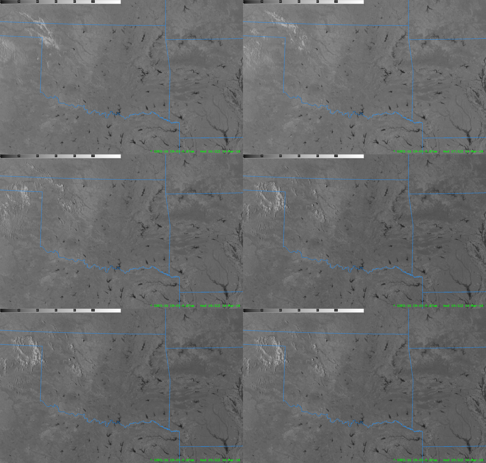
GOES-16 ABI Band 3 (0.86 µm) Reflectance, hourly from 1632-1932 UTC on 14 March 2018 (Click to enlarge)
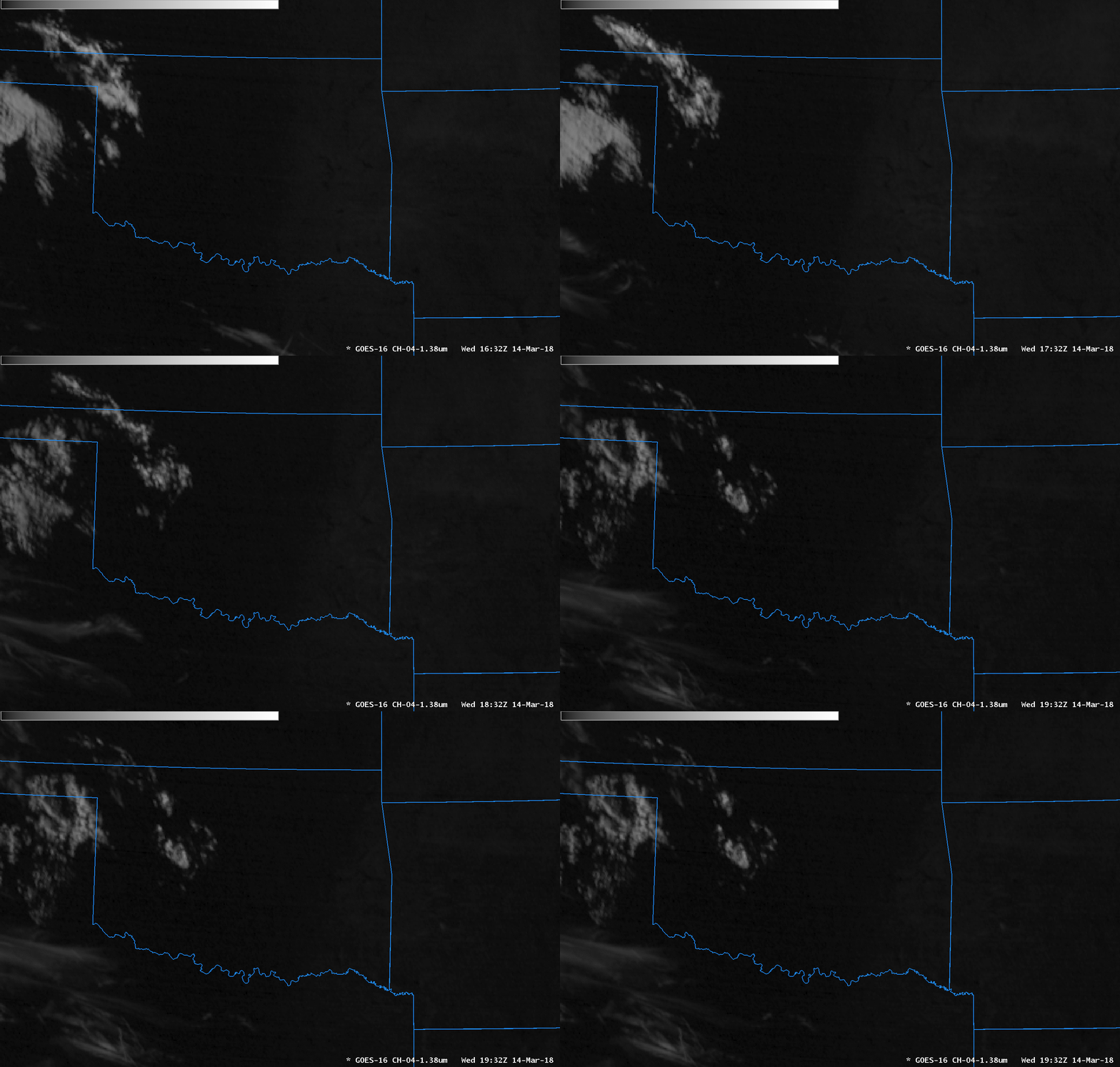
Skies were clear over much of the southern Plains on 14 March 2018, as noted in the animation above that shows hourly GOES-16 ABI Channel 3 (0.86 µm) Imagery. Differences in absorption/reflectance between water and land yield excellent discrimination between lakes and land over Oklahoma and adjacent states. GOES-16 ABI “Cirrus Channel” (Band 4, at 1.38 µm) shows little reflectance in the area over Oklahoma, except where cirrus clouds are present over western Oklahoma. The rest of Oklahoma is dark because water vapor in the atmosphere is absorbing energy at 1.38 µm. An animation — also at hourly intervals — is shown below. This uses the default enhancement in AWIPS, with reflectance values between 0 and 50 shown.

GOES-16 ABI Band 4 (1.37 µm) Reflectance, hourly from 1632-1932 UTC on 14 March 2018 with default AWIPS Enhancement (Click to enlarge)
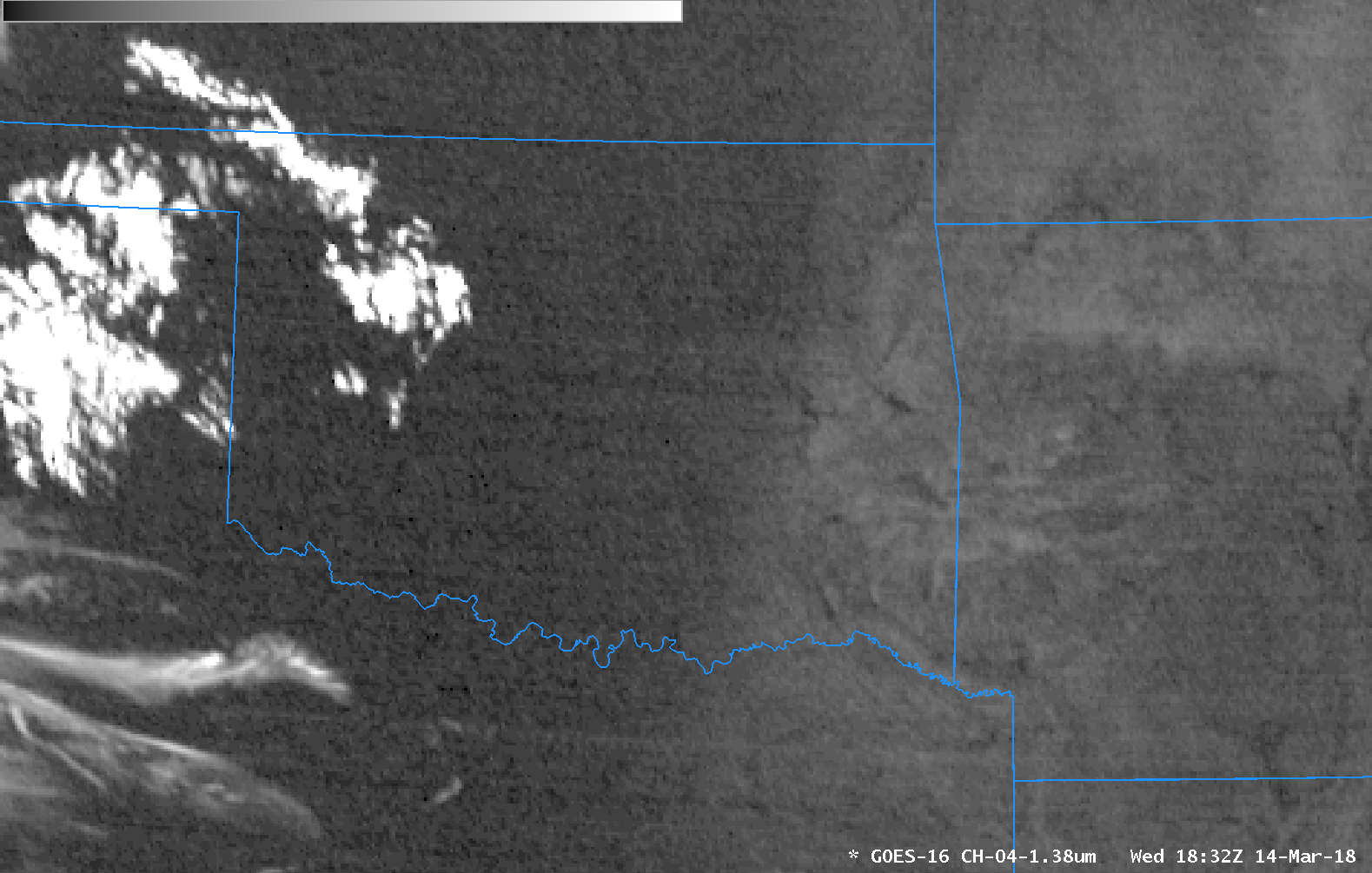
If you alter the Band 4 enhancement to change the bounds from 0-50 (the default) to 0-2 (!), as was done in the animation below showing data every 5 minutes, a gradient in reflectance becomes apparent, and surface features — specifically lakes — over central Oklahoma that are initially present slowly become obscured as the gradient moves to the east. This gradient shows differences in moisture. The atmosphere that is moving into eastern Oklahoma from central Oklahoma is slightly more moist. (Compare the morning sounding at Amarillo, for example, with a total precipitable water of 0.38″ to the morning sounding at Little Rock, with a total precipitable Water of 0.14″)

GOES-16 ABI Band 4 (1.37 µm) Reflectance, from 1632-1947 UTC on 14 March 2018 with default AWIPS Enhancement modified as described in text (Click to animate)
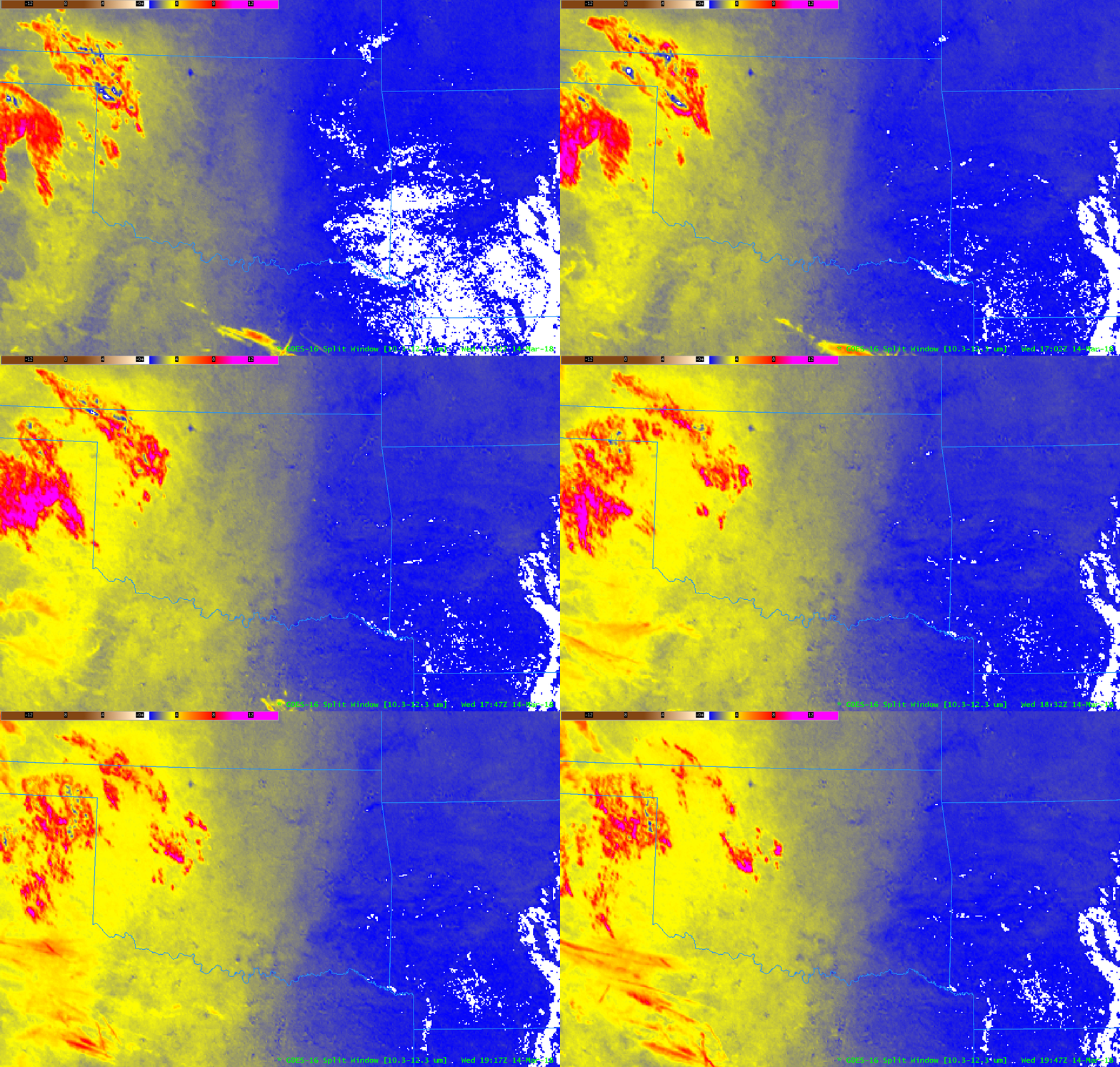
GOES-16 data includes channel differences and level 2 products that also confirm the slow increase in moisture. The Split Window Difference field, shown below with the default enhancement (Click here to see the same animation with the Grid MidRange Enhanced enhancement), and the Total Precipitable Water, at bottom, show a slow increase in moisture. These increases were above the surface: surface dewpoints in this region (source) were not increasing greatly.


