Interesting contrail in North Dakota
Satellites have the capability of allowing us to see things that may otherwise have gone unnoticed. The numerous bands available on #GOES16 shows an unusually shaped contrail over Barnes County ND, most noticeable in the water vapor bands. #ndwx #mnwx pic.twitter.com/OHqCF0bO6s
— NWS Grand Forks (@NWSGrandForks) November 21, 2017
* GOES-16 data posted on this page are preliminary, non-operational and are undergoing testing *
As mentioned in a Tweet from NWS Grand Forks (above), an interesting contrail was seen over eastern North Dakota on 21 November 2017. They noted that the contrail was most easily seen using imagery from the water vapor bands.
A comparison of GOES-16 ABI Lower-level (7.3 µm), Mid-level (6.9 µm) and Upper-level (6.2 µm) Water Vapor images (below) showed the formation and motion of the contrail feature (which was likely caused by military aircraft, based in Grand Forks and/or Minot, performing training exercises).
![GOES-16 Lower-level (10.3 µm, left), Mid-level (6.9 µm, center) and Upper-level (6.2 µm, right) Water Vapor images, with surface station identifiers plotted in cyan [click to play animation]](https://cimss.ssec.wisc.edu/satellite-blog/wp-content/uploads/sites/5/2017/11/171121_goes16_WaterVapor_ND_contrail_amim.gif)
GOES-16 Lower-level (10.3 µm, left), Mid-level (6.9 µm, center) and Upper-level (6.2 µm, right) Water Vapor images [click to play animation]
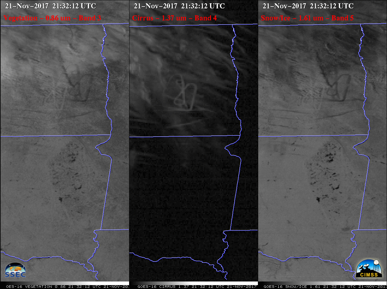
![GOES-16 Vegetation (0.86 µm, left), Cirrus (1.37 µm, center) and Snow/Ice (1.61 µm, right) images [click to play animation]](https://cimss.ssec.wisc.edu/satellite-blog/wp-content/uploads/sites/5/2017/11/171121_goes16_Vegetation_Cirrus_SnowIce_ND_contrail_anim.gif)
GOES-16 Vegetation (0.86 µm, left), Cirrus (1.37 µm, center) and Snow/Ice (1.61 µm, right) images [click to play animation]