Halos due to the presence of ice crystal clouds

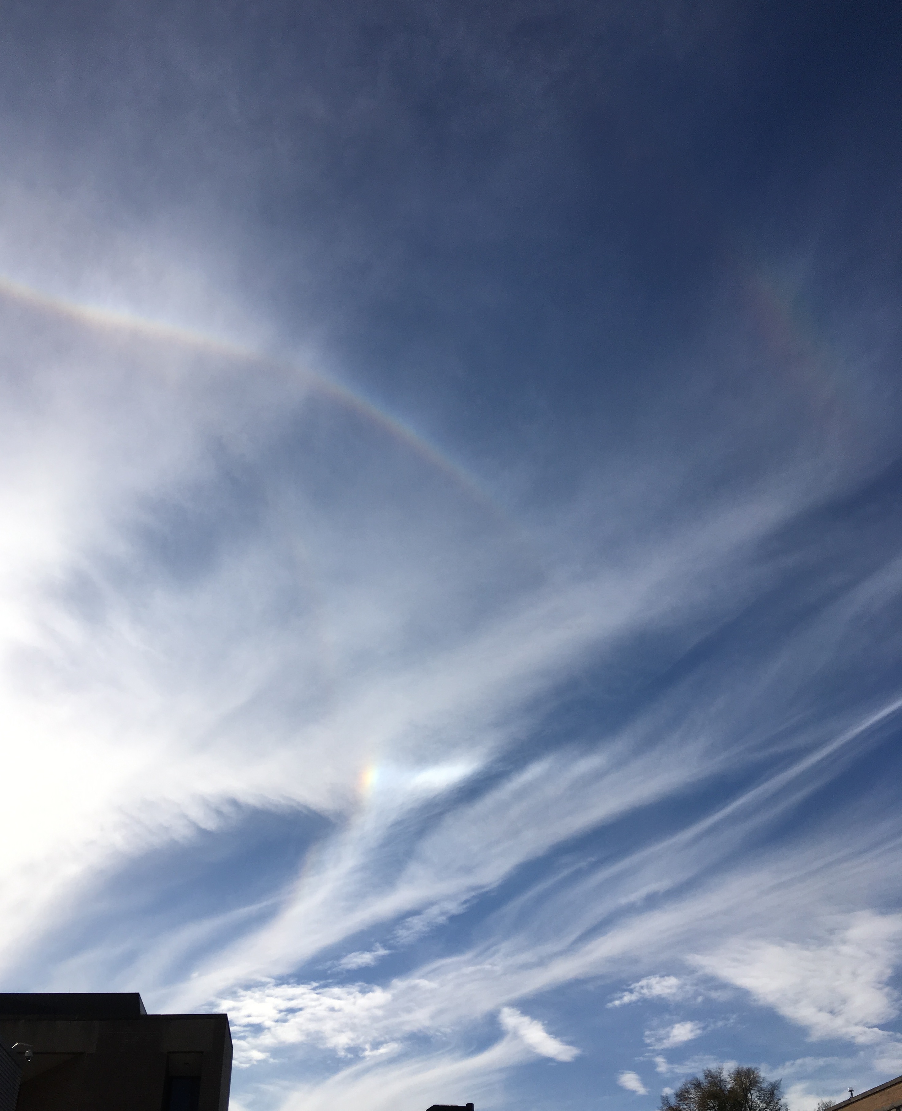
Photo showing an Upper Tangent Arc, a Parhelia (Sun Dog), a Parhelic Circle segment and a faint 46 degree segment (upper right).
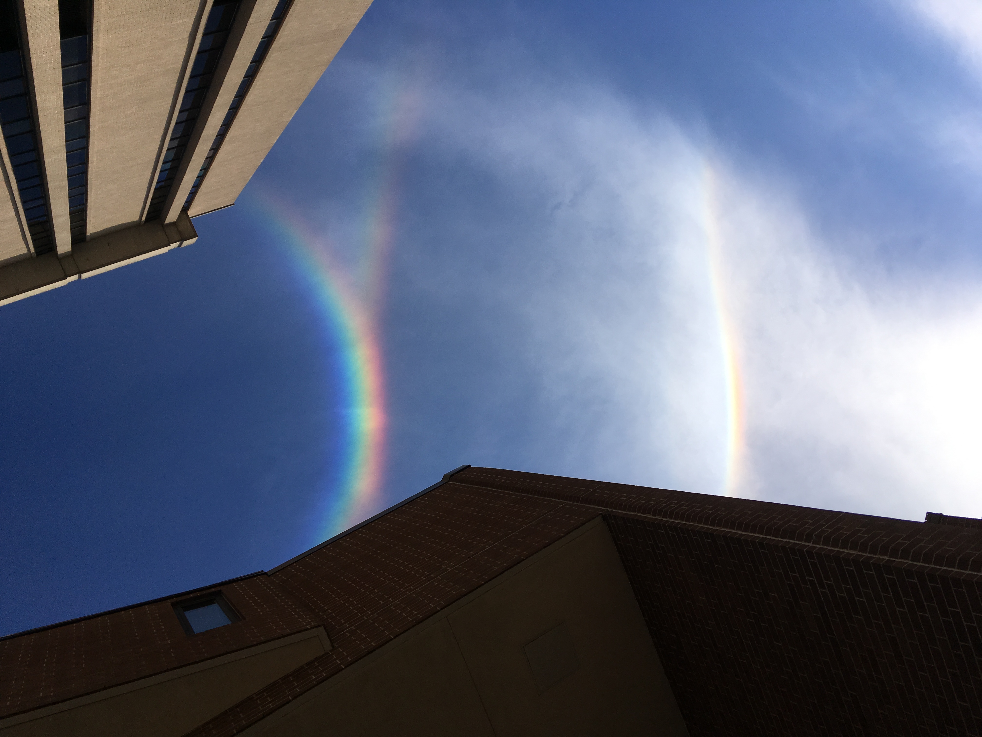
Photos taken by SSEC scientist Claire Pettersen at 1615 UTC (above) and 1623 UTC (below) revealed several examples of ice crystal cloud optics over Madison, Wisconsin on 14 November 2016. More information on the various types of ice cloud halos can be found here and here.
1650 UTC Terra MODIS Visible (0.65 µm), near-infrared Cirrus (1.375 µm) and Infrared Window (11.0 µm) images (below) showed the patches of cirrus clouds that were over southern Wisconsin not long after the photos above were taken. Many of the cirrus cloud features over the Madison (KMSN) area appeared very thin and nearly transparent on the Visible image; they also exhibited very warm Infrared Window brightness temperature values (warmer than -20ºC), since a great deal of radiation from the warmer surface of the Earth was reaching the MODIS detectors through the thin clouds. The 1.375 µm Cirrus band is able to detect the presence of airborne particles that are efficient scatterers of light — such as cirrus cloud ice crystals, dust, volcanic ash, smoke, haze — so the thin cirrus clouds exhibited a good signature on that image.
![Terra MODIS Visible (0.65 µm), Cirrus (1.375 µm) and Infrared Window (11.0 µm) images [click to enlarge]](https://cimss.ssec.wisc.edu/satellite-blog/wp-content/uploads/sites/5/2016/11/161114_1650utc_terra_modis_visible_cirrus_infrared_anim.gif)
Terra MODIS Visible (0.65 µm), Cirrus (1.375 µm) and Infrared Window (11.0 µm) images [click to enlarge]


