2 West Pacific storms, as seen using 3 Himawari-8 water vapor bands
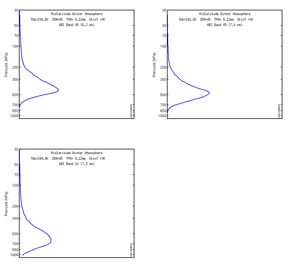
Himawari-8 Water Vapor images: 6.2 µm (top), 6.9 µm (middle), and 7.3 µm (bottom) – [click to play MP4 animation]
—————————————————————————————————
Himawari-8 Water Wapor images: 7.3 µm (left), 6.9 µm (center), and 6.2 µm (right) – [click to play MP4 animation]


![West Pacific surface analyses [click to play animation]](https://cimss.ssec.wisc.edu/satellite-blog/wp-content/uploads/sites/5/2016/03/160318_18z_wpac_sfc.gif)
![West Pacific surface analyses [click to play animation]West Pacific surface analyses [click to play animation]](https://cimss.ssec.wisc.edu/satellite-blog/wp-content/uploads/sites/5/2016/03/160315_18z_wpac_sfc.gif)
