ProbSevere results over tidewater Virginia

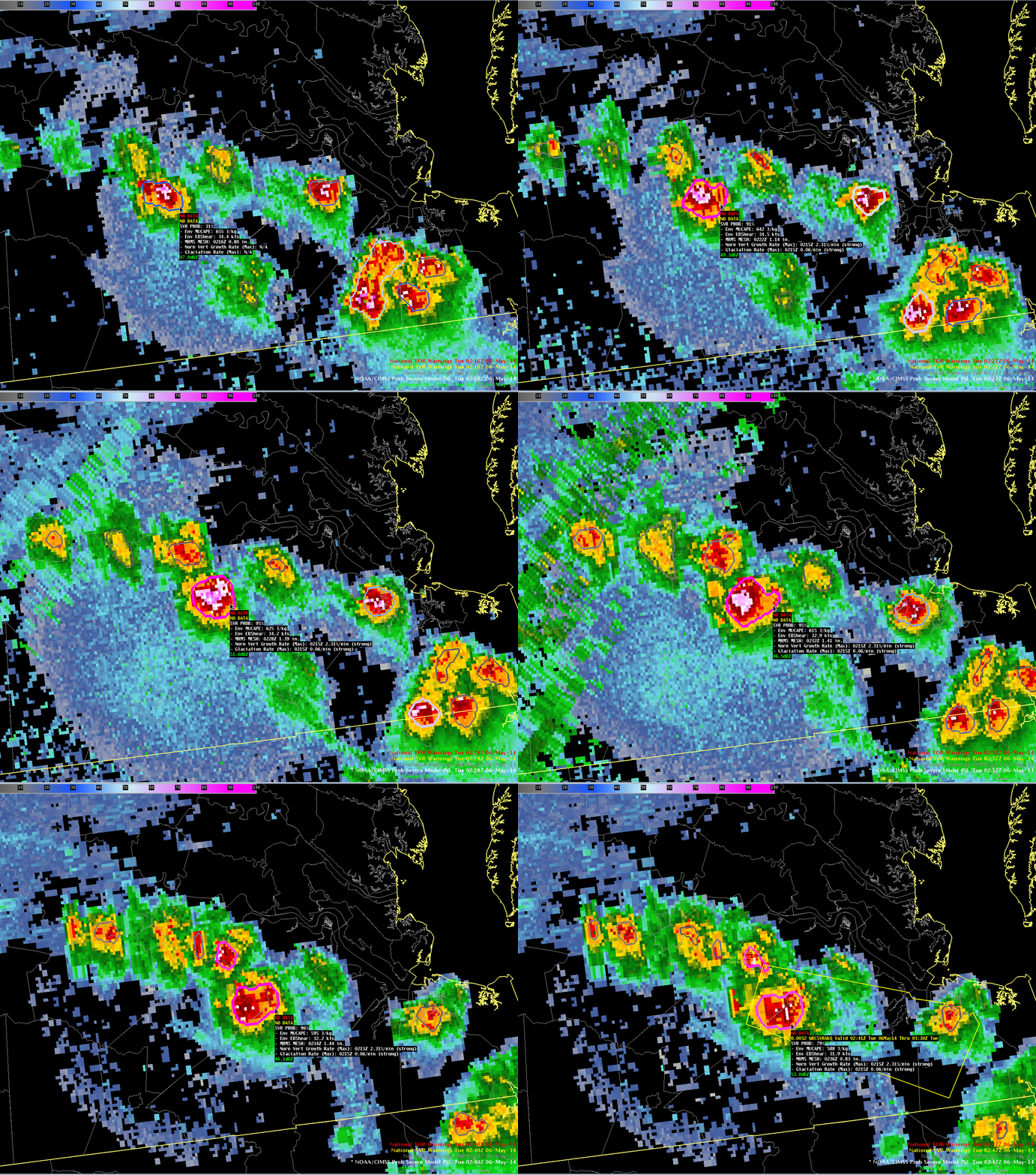
NOAA/CIMSS ProbSevere superimposed on MRMS radar display over southeastern Virginia. Times as indicated. (Click to enlarge)
The Hazardous Weather Testbed (HWT) exercise (Click here for the HWT blog) is ongoing at the Storm Prediction Center. One of the new products being tested by forecasters is the NOAA/CIMSS ProbSevere product. ProbSevere in the animation above highlighted a cell that produced hail. The AWIPS-2 readout suggests strong vertical growth, and strong glaciation, at 0215 UTC. (The HWT Blog entry on this storm is here) What did the satellite view?
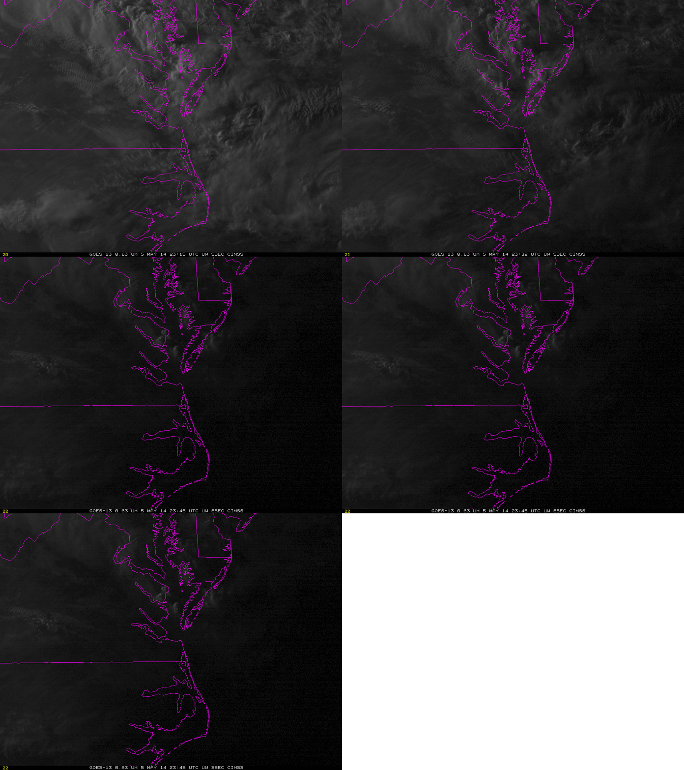
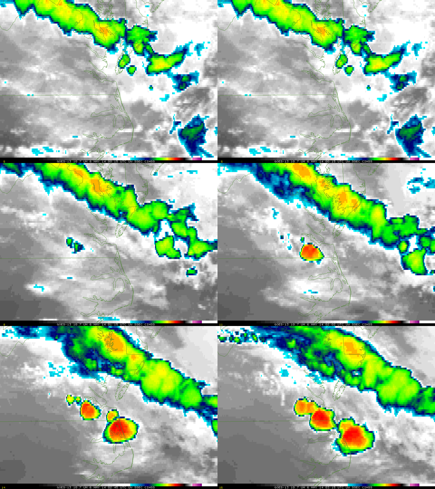
Visible imagery, above, from just before sunset, shows nascent convective development east of Lynchburg over southeastern Virginia, and also older convection over the Chesapeake Bay and Delmarva Peninsula. The infrared imagery (10.7 µm), below, shows rapid development of convection over southeastern Virginia after 0000 UTC. The first convective cell, which cell is east of the Outer Banks of North Carolina at 0315 UTC, had cloud-tops that cooled about 12 C in 17 minutes (between 0115 and 0132 UTC); the storm that produced hail, and was warned, had cloud-tops that cooled 20 C in 13 minutes, between 0202 UTC and 0215 UTC. This strong vertical growth contributes to a big increase in the ProbSevere value.
When interpreting the radar and satellite imagery, be aware of the effects of parallax on the satellite imagery. GOES-13 imagery displayed here is not corrected for parallax. GOES-13 data are parallax-corrected when used in ProbSevere computations, of course.


