Aircraft distrails and contrails
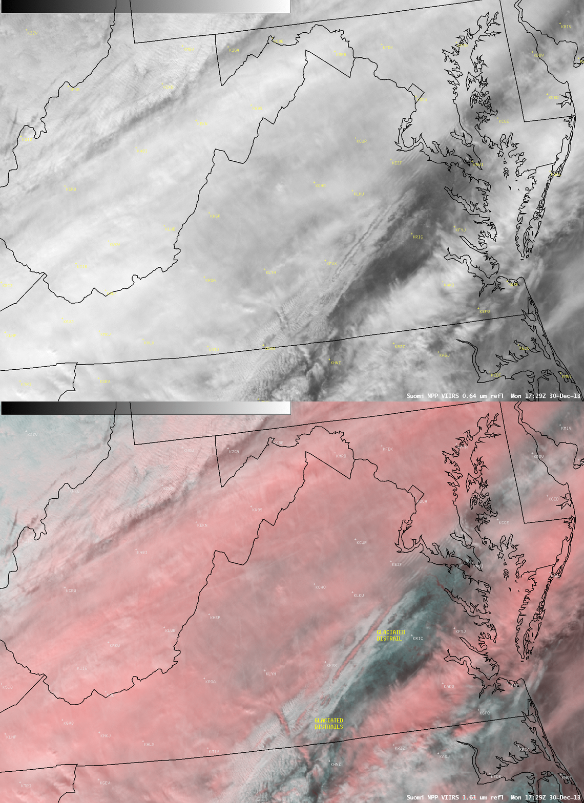
Two signatures of aircraft traffic sometimes seen in satellite imagery are (1) dissipation trails, or “distrails”, and (2) condensation trails, or “contrails”. On 30 December 2013, examples of both were seen over Virginia and West Virgina. Multiple layers of clouds existed over the region as a cold frontal boundary was moving eastward; ahead of the cold front patchy areas of low-level supercooled water droplet clouds were drifting northeastward across North Carolina and Virginia, and examples of aircraft distrails could be seen in a comparison of Suomi NPP VIIRS 0.64 µm visible channel and false-color Red/Green/Blue (RGB) images at 17:29 UTC (above). When aircraft penetrated the supercooled water droplet cloud deck, particles in their exhaust acted as ice condensation nuclei which then created narrow lines of glaciated (ice) clouds in their wake. One particularly vivid example of a distrail was oriented from southwest to northeast over central Virginia. Ice clouds appeared as varying shades of red in the RGB image, in contrast to supercooled water droplet clouds which showed up as brighter white features.
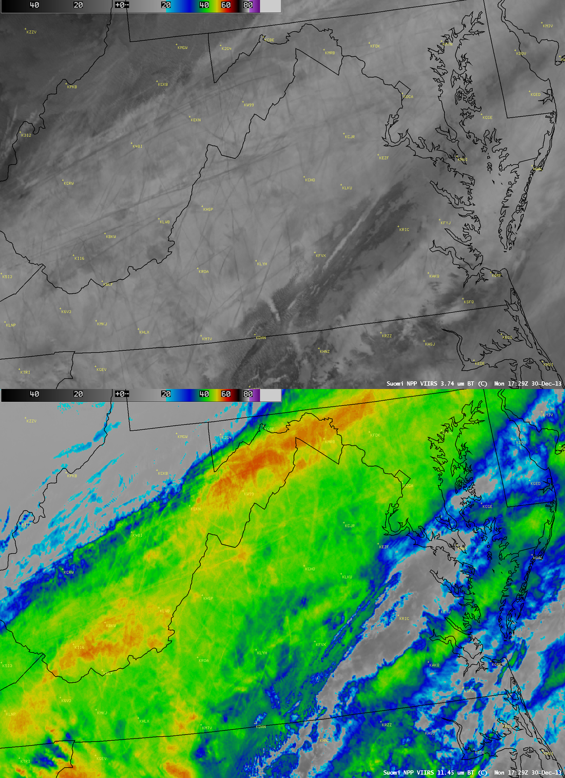
Farther to the west, a wide band of higher-altitude ice clouds existed as part of an elongated warm conveyor belt that was approaching the East Coast of the US. A comparison of Suomi NPP VIIRS 3.74 µm shortwave IR channel and 11.45 µm IR channel images at 17:29 UTC (below) revealed the presence of widespread contrails over much of West Virginia into western Virginia. The contrails were nearly as cold as the underlying high-altitude cirrus clouds on the 11.45 µm IR image, making their identification more difficult — however, the contrails were quite evident on the shortwave IR image, since their smaller particles were very efficient reflectors of solar radiation (making them exhibit a warmer, darker gray signature).
Other examples of aircraft distrails can be found in previous blog posts.


