Blowing dust in northern Mexico, southwestern Texas, and southeastern New Mexico
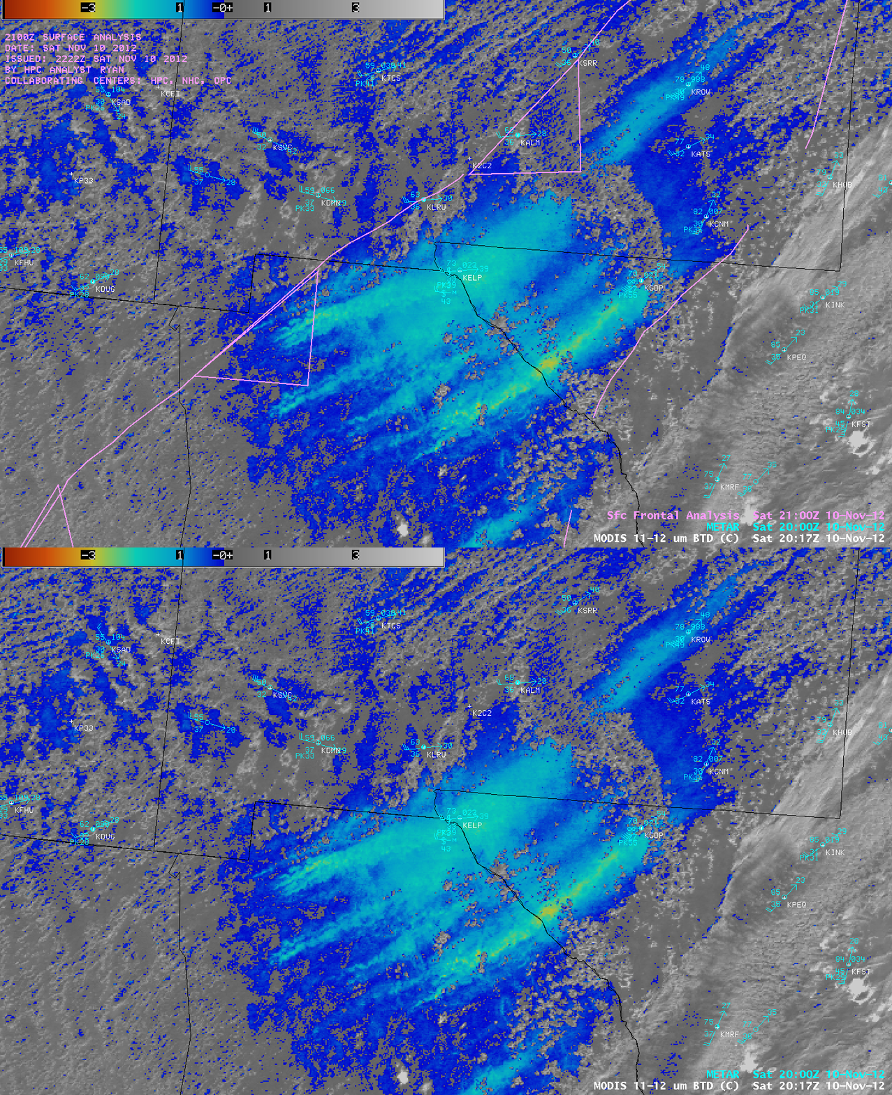
Strong southwesterly winds (gusting as high as 86 mph in New Mexico and 73 mph in Texas) ahead of an advancing cold front were causing dense plumes of blowing dust that restricted surface visibility to 0.5 mile at El Paso, Texas (station identifier KELP) on 10 November 2012. An AWIPS image of the 1-km resolution MODIS 11-12 µm IR brightness temperature difference (BTD) product (above) showed the areal coverage of the blowing dust (cyan to yellow color enhancement) at 20:17 UTC (3:17 PM local time).
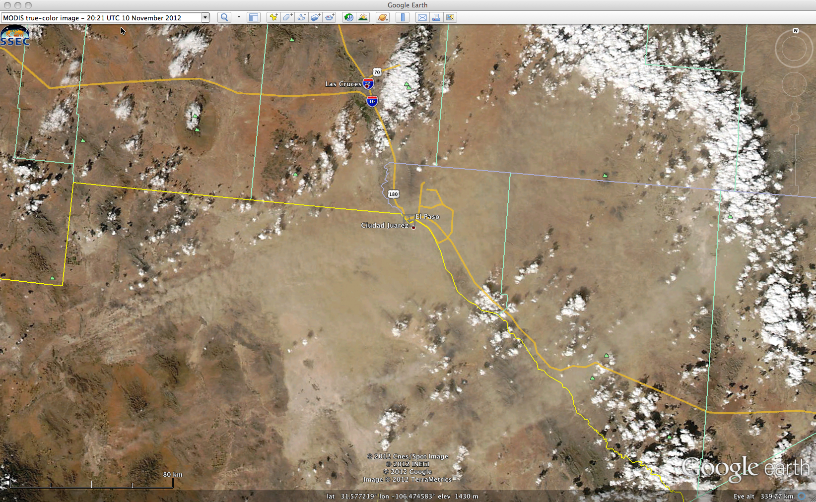
The blowing dust plumes could also be seen on a 250-meter resolution MODIS true-color Red/Green/Blue (RGB) image from the SSEC MODIS Today site (below).
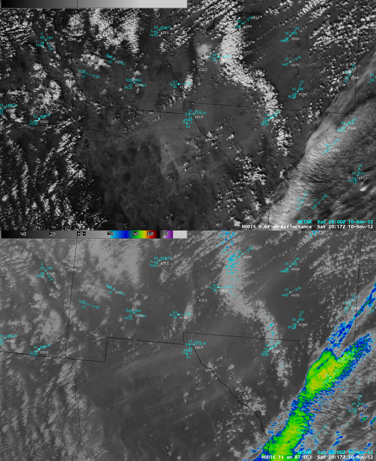
AWIPS comparisons of 1-km resolution MODIS (above) and Suomi NPP VIIRS (below) visible channel and IR channel images revealed that the airborne dust exhibited a cooler signature (lighter gray enhancement) on the IR imagery.


