
The GOES-R and JPSS Satellite Era

GOES-R
Advanced Baseline Imager (ABI)
The ABI has much better temporal resolution than the previous GOES imager, meaning that it can scan the atmosphere faster and acquire images more frequently. One mode is that every 15 minutes, ABI will scan the full disk (FD), plus continental United States (CONUS) 3 times, plus a selectable 1000 km × 1000 km area every 30 seconds. Alternatively, the ABI can be programmed to scan the FD iteratively every 5 minutes. Given that the previous GOES imager took approximately 25 minutes for a FD, this implies there will be a fivefold increase in the coverage rate! Why does temporal resolution matter? To answer this, compare the following side-by-side animations of Hurricane Igor. The one on the left (GOES-15) displays stunning glimpses into the eye of the hurricane with multiple images taken one minute apart. The animation on the right (GOES-13) shows the same time period with 15-minute imagery. They're both cool but the one minute imagery provides much more detail and reveals more information about the storm.
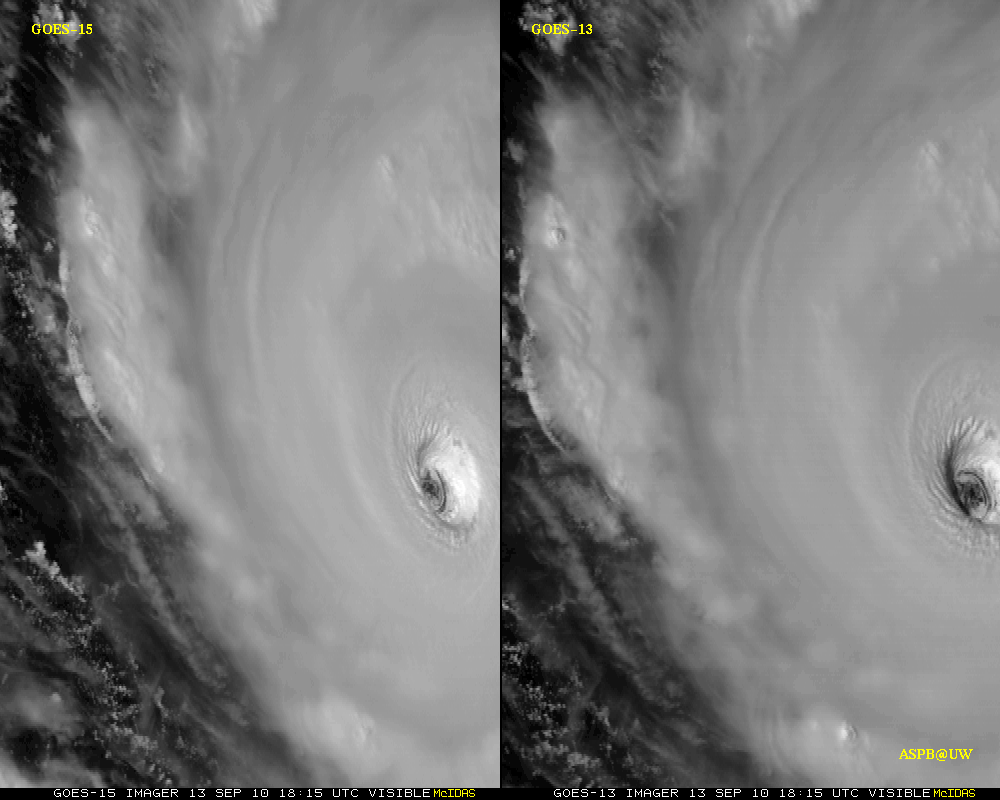
Hurricane Igor (2010) Imagery curtesy of ASPB
| 9 / 12 |