


| We use the prefix "alto" to indicate mid level clouds. |
 |
Altostratus clouds develop when the middle layers of the atmosphere are moist and are lifted slowly, they rarely block out the sun and are fairly uneventful, although may be the precursors of a rain event. |
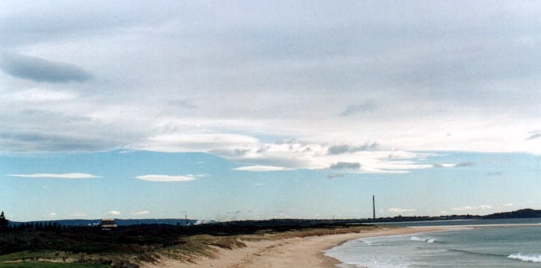
Altocumulus clouds tell a completely different story. The presence of altocumulus clouds in the sky means that convection is occurring quite high up. In the summer, altocumulus clouds that rises up in little castle-like turrets (castellanus) may be a precursor to severe weather.
 Altocumulus clouds from below |
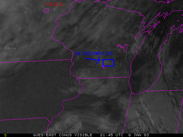
Visible satellite image |
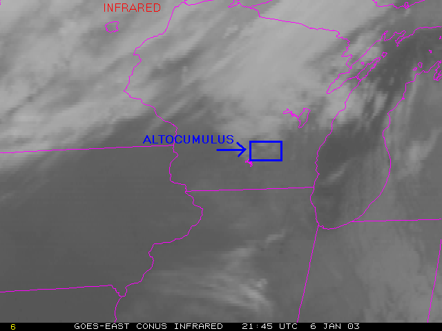
IR satellite image |
|
|
Continue to the next page
Go back to the previous page