


The biggest distinction between high clouds and other levels is the fact that they are made up of ice crystals and not water droplets. The two most common high clouds are cirrus and cirrostratus. Cirrus are thin and wispy as can be seen in the following photos and satellite images. They are a common cloud type that occurs in vertical motions ahead of large scale weather patterns. Cirrus clouds are associated with all weather systems. They can also be generated by flow over mountains or in regions with strong winds, such as the jet stream. They often occur as wisps aligned in the same direction and generally do not completely cover the sky.
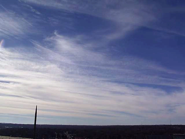 Cirrus clouds from below |
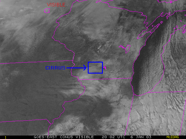
Visible satellite image |
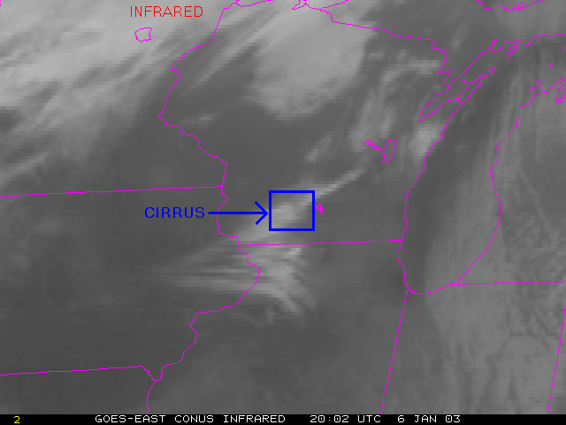
IR satellite image |
|
|
Continue to the next page
Go back to the previous page