


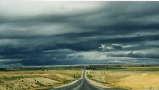
Stratocumulus are frequent is certain geographic regions, such as along coasts and in valleys. Cold air passing over warmer water will also produce stratocumulus. This is why this cloud is common in the winter near the Great Lakes. Stratocumulus also accompany cold fronts. When associated with a large weather system, stratocumulus are often the last cloud to appear before the skies clear.
 |
Fog
| A cloud on the ground is fog. Fog is easy to
depict on visible satellite images because the land around the fog
is darker and warmer while the fog is cooler and milky white. The tops of fog appears smooth in a visible image, while the edges may appear sharp as they conform to the terrain, such as mountains or river valleys.
(See image) 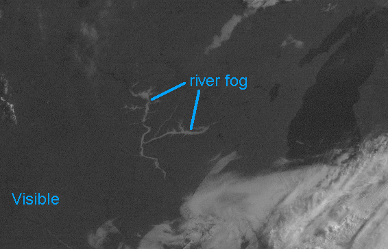
Fog usually dissipates from its edges and works its way inward. This is seen in multiple, or time-lapse images as shown below.
Continue to the next page
Go back to the previous page |