Hurricane Ike
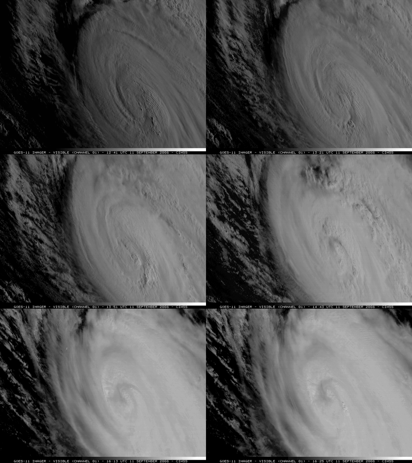
GOES-11 continued in Super Rapid Scan Operations (SRSO) mode on 11 September 2008, with visible imagery (above) showing additional convective bursts around the eye of the storm.
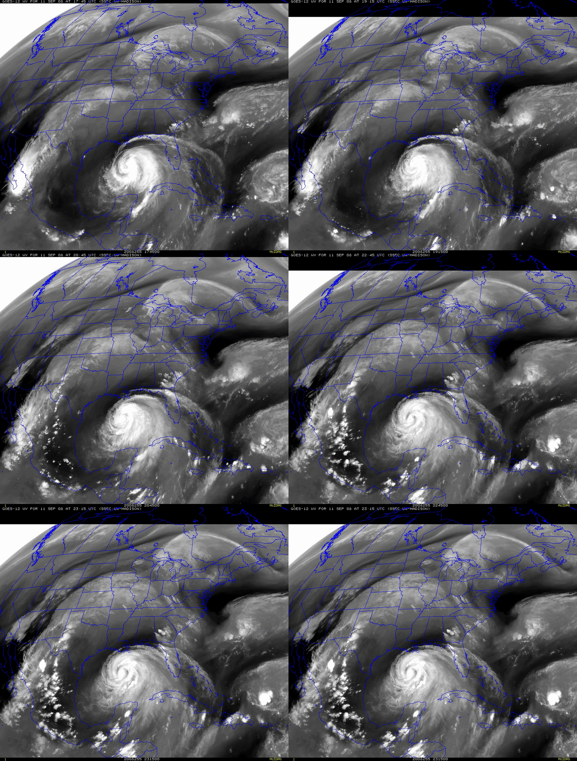
GOES-12 water vapor channel imagery (below) revealed an interesting series of middle- to upper-tropospheric “gravity waves” propagating radially outward away from Ike, moving inland over the Gulf Coast states.
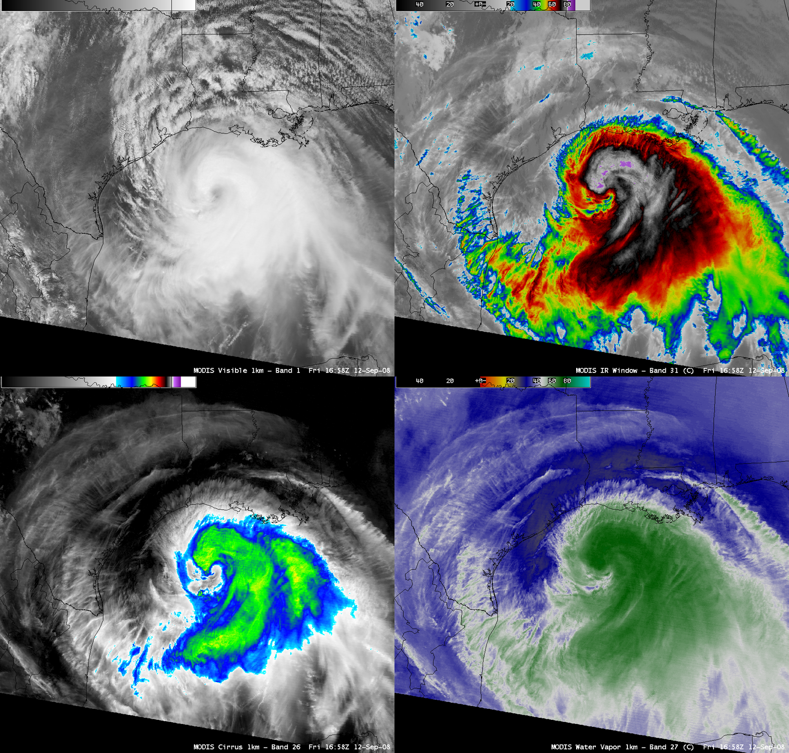
A comparison of AWIPS MODIS images on 12 September 2008 (below) displayed Category 2 Hurricane Ike as the large storm approached the Texas coast. MODIS IR cloud top brightness temperatures at 16:58 UTC were as cold as -84º C (purple enhancement).
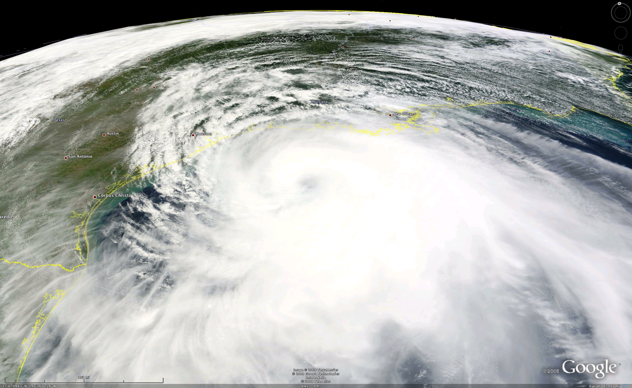
An oblique view of a MODIS true color image using Google Earth (below; courtesy of Liam Gumley, CIMSS) shows that the clouds associated with Hurricane Ike covered a good deal of the Gulf of Mexico on 12 September.


