Remote Sensing» Satellite Technology and Orbits
Learn more about the satellite orbits by working through the following activities:
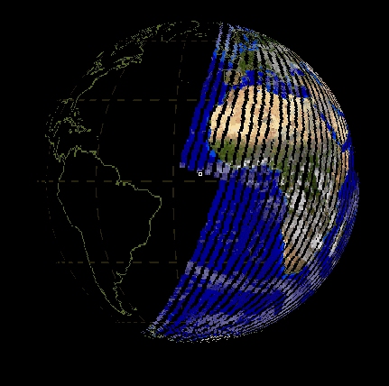 1. This tool lets you manipulate some of the factors that
determine the amount and quality of data collected by polar
orbiting (LEO) satellites.
1. This tool lets you manipulate some of the factors that
determine the amount and quality of data collected by polar
orbiting (LEO) satellites.
Click on the image to the right to begin the activity.
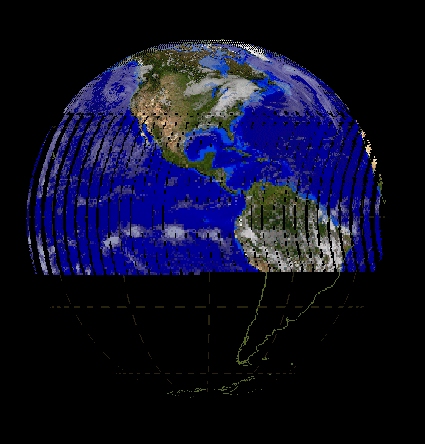 2. This tool lets you manipulate the scanning rate of geostationary
orbiting (GEO) satellites, which influences the amount and quality of data collected.
Click on the image to the right to begin the activity.