Starting Date [Julian Day]
(Day of Week)
|
Test Schedule Name |
Duration |
Center Point (coverage) |
Comments |
Links (large files) |
May 18 [138]
(M) |
SRSOR (no FD) |
138/ 11:14:30 UTC - 139/ 11:14:00 UTC |
37N 85W |
Great Lakes |
CIMSS Satellite Blog . |
|
May 19 [139]
(T) |
SRSOR (no FD) |
139/ 11:14:30 UTC - 140/ 11:14:00 UTC |
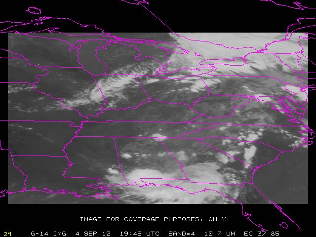
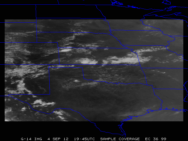
36N 99W |
TX and mid-US |
Vis Loop You Tube (CIRA) 3 GOES Overshooting Tops |
|
May 20 [140]
(W) |
SRSOR (no FD) |
140/ 11:14:30 UTC - 141/ 11:14:00 UTC |
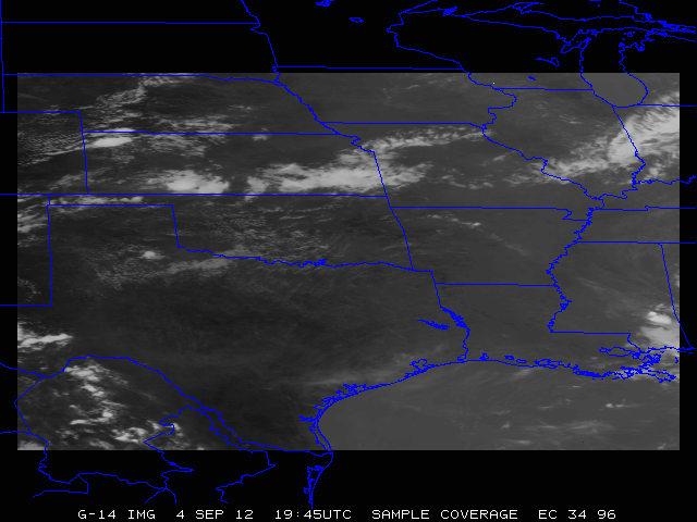
34N 96W |
TX and mid-US |
CIMSS Satellite Blog 2-days IR over TX (mp4) YouTube . |
|
May 21 [141]
(Th) |
SRSOR (no FD) |
141/ 11:14:30 UTC - 142/ 11:14:00 UTC |
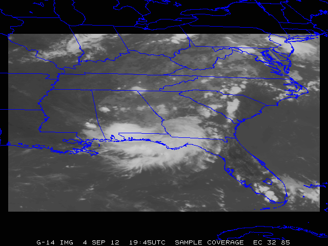
32N 85W |
NC/SC and SE US |
Vis over NC CIMSS Satellite Blog MD 713 over NC/SC |
|
May 22 [142]
(F) |
SRSOR (no FD) |
142/ 11:14:30 UTC - 143/ 11:14:00 UTC |
37N 105W |
SW US |
. |
|
May 23 [143]
(Sa) |
SRSOR (no FD) |
143/ 11:14:30 UTC - 144/ 11:14:00 UTC |
36N 98W |
. |
. |
|
May 24 [144]
(Su) |
SRSOR (no FD) |
144/ 11:14:30 UTC - 145/ 11:14:00 UTC |
|
. |
. |
|
May 25 [145]
(M) |
SRSOR (no FD) |
145/ 11:14:30 UTC - 146/ 11:14:00 UTC |
|
. |
. |
|
May 26 [146]
(T) |
SRSOR (no FD) |
146/ 11:14:30 UTC - 147/ 11:14:00 UTC |
|
. |
. |
|
May 27 [147]
(W) |
SRSOR (no FD) |
147/ 11:14:30 UTC - 148/ 11:14:00 UTC |
|
. |
. |
|
May 28 [148]
(Th) |
SRSOR (no FD) |
148/ 11:14:30 UTC - 149/ 11:14:00 UTC |
|
. |
. |
|
May 29 [149]
(F) |
SRSOR (no FD) |
149/ 11:14:30 UTC - 150/ 11:14:00 UTC |
|
. |
. |
|
May 30 [150]
(Sa) |
Routine |
150/ 11:14:30 UTC - 151/ 11:14:00 UTC |
|
. |
. |
|
May 31 [151]
(Su) |
SRSOR (no FD) |
151/ 11:14:30 UTC - 152/ 11:14:00 UTC |
|
. |
. |
|
June 1 [152]
(M) |
SRSOR (no FD) |
152/ 11:14:30 UTC - 153/ 11:14:00 UTC |
|
. |
. |
|
June 2 [153]
(T) |
SRSOR (no FD) |
153/ 11:14:30 UTC - 154/ 11:14:00 UTC |
|
. |
. |
|
June 3 [154]
(W) |
SRSOR (no FD) |
154/ 11:14:30 UTC - 155/ 11:14:00 UTC |
|
. |
. |
|
June 4 [155]
(Th) |
SRSOR (no FD) |
155/ 11:14:30 UTC - 156/ 11:14:00 UTC |
|
. |
. |
|
June 5 [156]
(F) |
SRSOR (no FD) |
156/ 11:14:30 UTC - 157/ 11:14:00 UTC |
|
. |
. |
|
June 6 [157]
(Sa) |
SRSOR (no FD) |
157/ 11:14:30 UTC - 158/ 11:14:00 UTC |
|
. |
. |
|
June 7 [158]
(Su) |
SRSOR (no FD) |
158/ 11:14:30 UTC - 159/ 11:14:00 UTC |
|
. |
. |
|
June 8 [159]
(M) |
SRSOR (no FD) |
159/ 11:14:30 UTC - 160/ 11:14:00 UTC |
|
. |
. |
|
June 9 [160]
(T) |
SRSOR (no FD) |
160/ 11:14:30 UTC - 161/ 11:14:00 UTC |
|
. |
. |
|
June 10 [161]
(W) |
SRSOR (no FD) |
161/ 11:14:30 UTC - 162/ 11:14:00 UTC |
|
. |
. |
|
June 11 [162]
(Th) |
SRSOR (no FD) |
162/ 11:14:30 UTC - 163/ 11:14:00 UTC |
|
. |
. |
|
.
|
|
|
|
|
|
August 10 [222]
(M) |
SRSOR (no FD) |
222/ 11:14:30 UTC - 223/ 11:14:00 UTC |
|
. |
. |
|
August 11 [223]
(T) |
SRSOR (no FD) |
223/ 11:14:30 UTC - 224/ 11:14:00 UTC |
|
. |
. |
|
August 12 [224]
(W) |
SRSOR (no FD) |
224/ 11:14:30 UTC - 225/ 11:14:00 UTC |
|
. |
. |
|
August 13 [225]
(Th) |
SRSOR (no FD) |
225/ 11:14:30 UTC - 226/ 11:14:00 UTC |
|
. |
. |
|
August 14 [226]
(F) |
SRSOR (no FD) |
226/ 11:14:30 UTC - 227/ 12:14:00 UTC |
|
. |
. |
|
August 15 [227]
(Sa) |
SRSOR (no FD) |
227/ 12:14:30 UTC - 228/ 11:14:00 UTC |
|
. |
. |
|
August 16 [228]
(Su) |
SRSOR (no FD) |
228/ 11:14:30 UTC - 229/ 11:14:00 UTC |
|
. |
. |
|
August 17 [289]
(M) |
SRSOR (no FD) |
229/ 11:14:30 UTC - 230/ 11:14:00 UTC |
|
. |
. |
|
August 18 [230]
(T) |
SRSOR (no FD) |
230/ 11:14:30 UTC - 231/ 11:14:00 UTC |
|
. |
. |
|
August 19 [231]
(W) |
SRSOR (no FD) |
231/ 11:14:30 UTC - 232/ 11:14:00 UTC |
|
. |
. |
|
August 20 [232]
(Th) |
SRSOR (no FD) |
232/ 11:14:30 UTC - 233/ 11:14:00 UTC |
|
. |
. |
|
August 21 [233]
(F) |
SRSOR (no FD) |
233/ 11:14:30 UTC - 234/ 11:14:00 UTC |
|
. |
. |
|
