This website works best with a newer web browser such as Chrome, Firefox, Safari or Microsoft Edge. Internet Explorer is not supported by this website.

Archive: Jul 2016

Heavy rainfall and flash flooding in Maryland
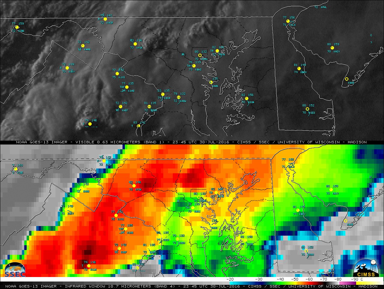
A 2-panel comparison of GOES-13 (GOES-East) Visible (0.63 µm) and Infrared Window (10.7 µm) images (above) showed a band of thunderstorms oriented southwest-to-northeast across northern Virginia and northern Maryland late in the day on 30 July 2016. Cells within this band produced very heavy rainfall and extreme flash flooding at Ellicott City,... Read More

River valley fog in Wisconsin, Minnesota and Iowa

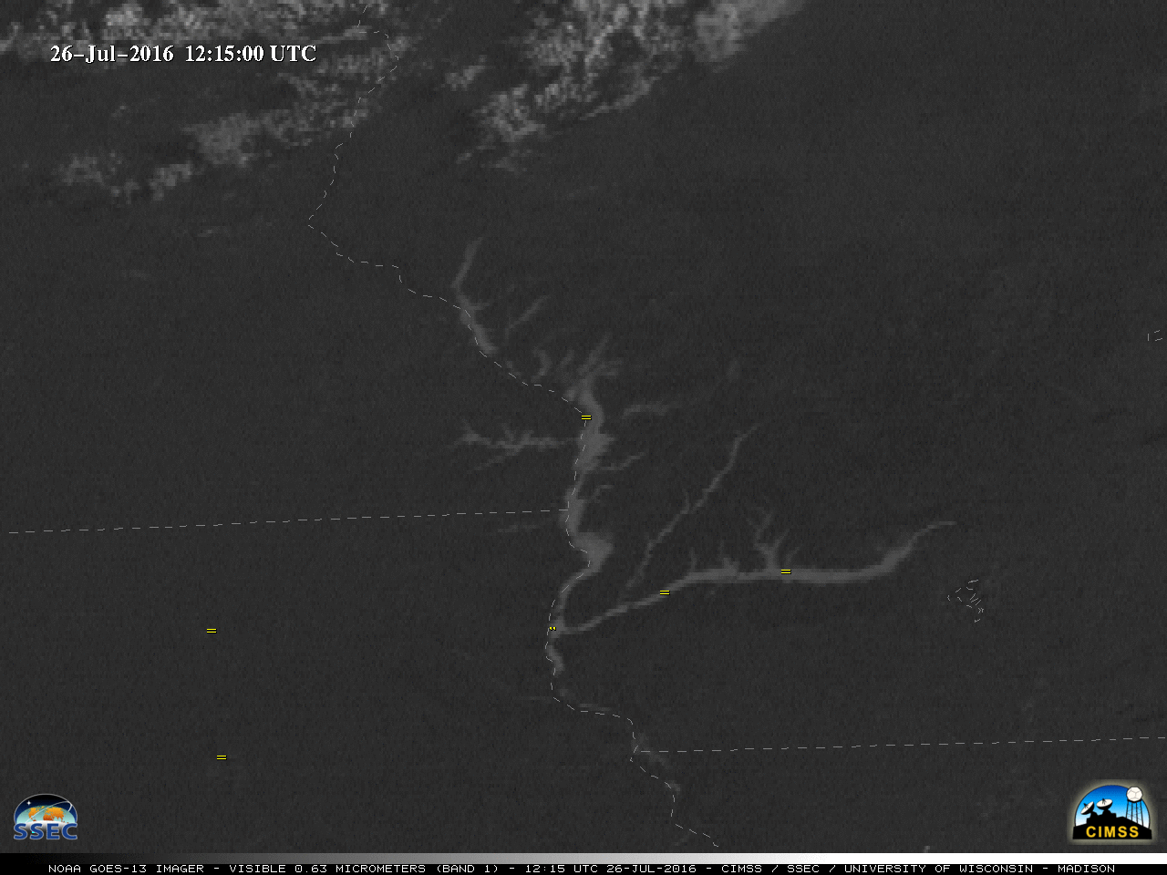
A nighttime image (above) of the Suomi NPP VIIRS 11.45 µm – 3.74 µm Infrared brightness temperature difference (often referred to as the “fog/stratus product”) showed the development of narrow fingers of river valley fog in parts of southwestern Wisconsin, southeastern Minnesota and northeastern Iowa at 0735 UTC or 2:35... Read More