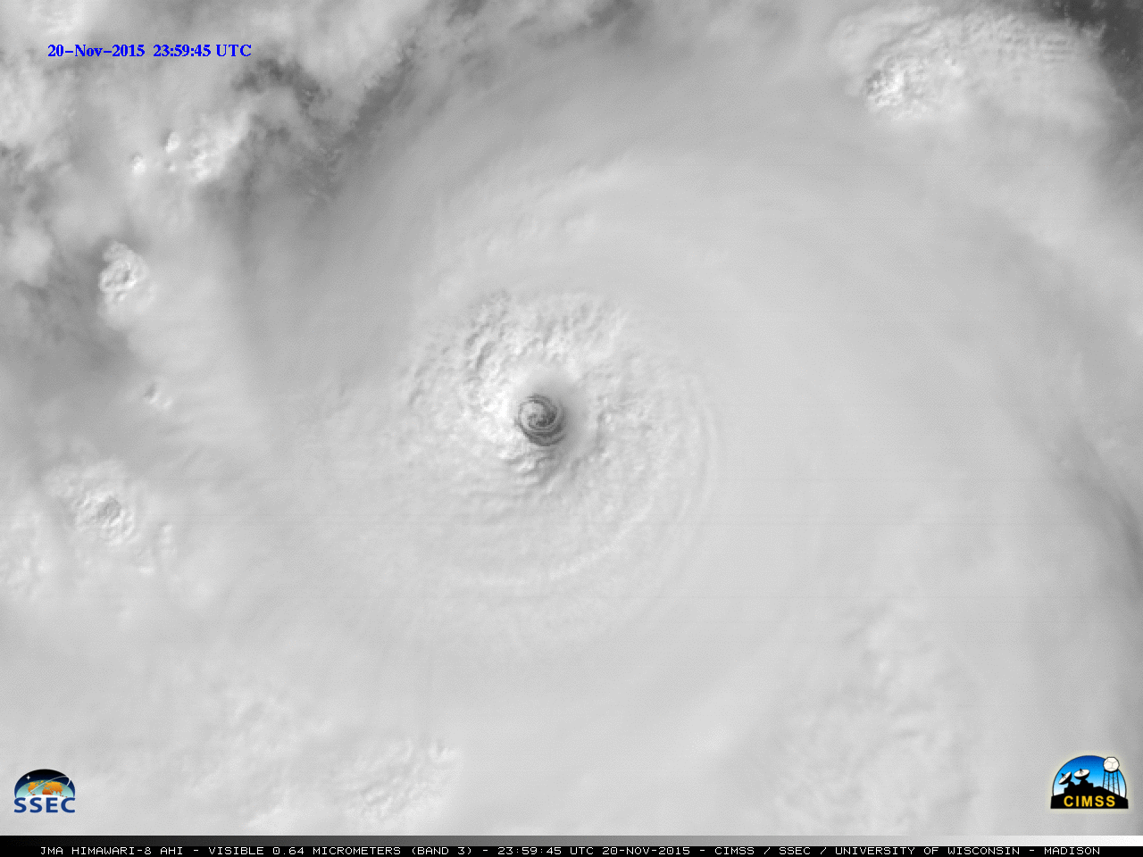
MTSAT-1R satellite is decommissioned
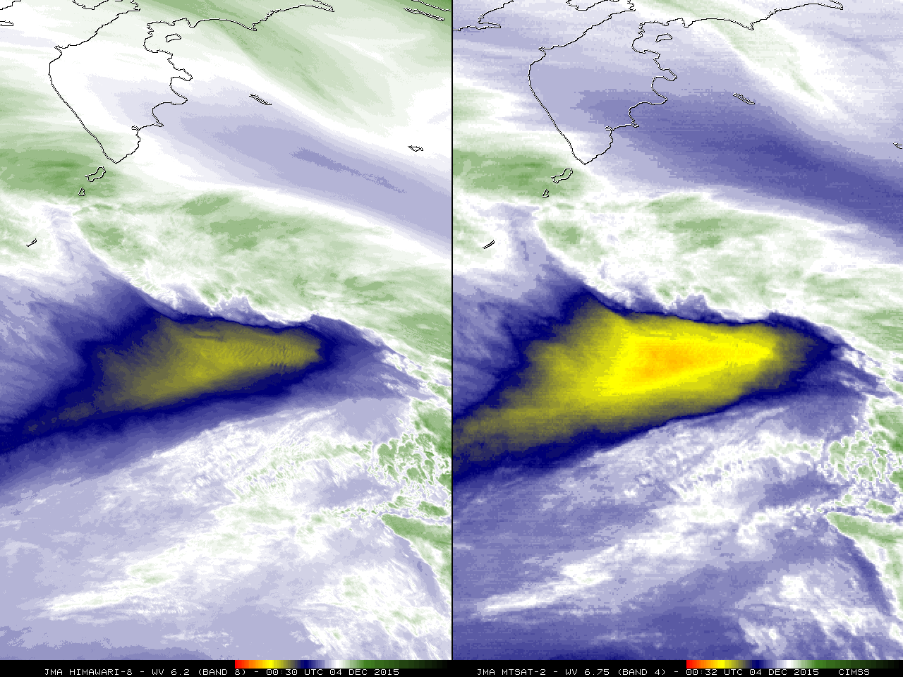
Now that Himawari-8 is their operational geostationary satellite, the Japanese Meteorological Agency (JMA) decommissioned MTSAT-1R (which was relaying the direct broadcast of MTSAT-2 imagery) as of 0630 UTC on 04 December 2015. A comparison of the final 5 hours of available MTSAT-2 6.75 µm water vapor channel images with the... Read More