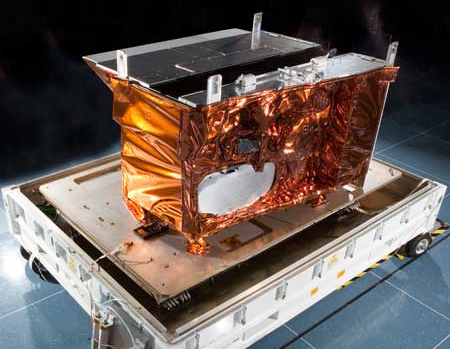
The Visible Infrared Imaging Radiometer Suite (VIIRS)
The VIIRS instrument collects visible and infrared imagery in 22 spectral bands for global observations of land, atmosphere, cryosphere and oceans.
 |
Key Specs:
Coverage: 22 spectral bands from 412 nm to 12 µm Nadir Resolution: 400 m (directly overhead) Swath: 3000 km wide |
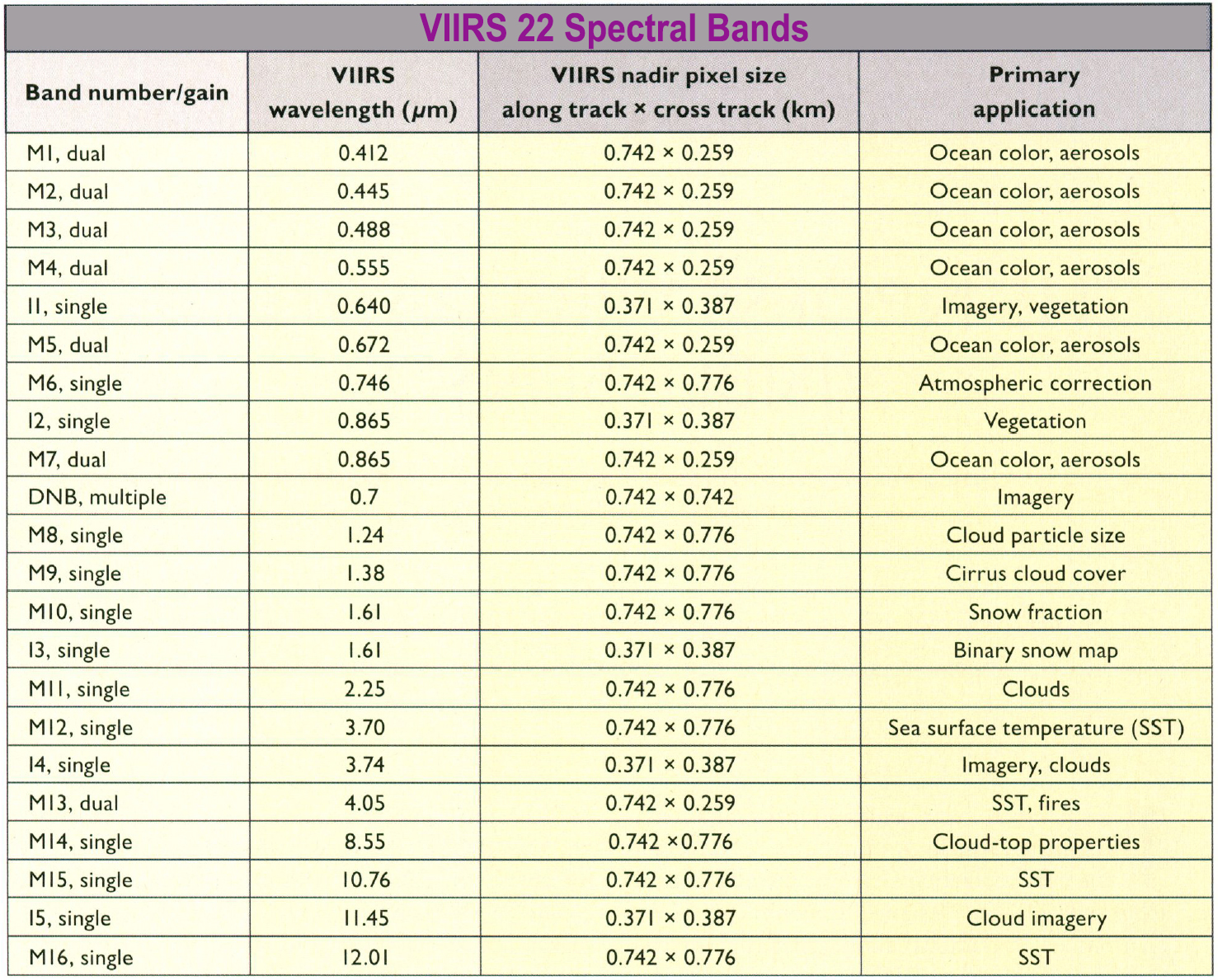 |
As a reminder, visible imagery refers to scenes revealed by reflected sunlight, or what we would see if we were riding on the satellite. Infrared (IR) imagery is thermal energy emited from Earth or cloud tops. We can't see IR energy. But VIIRS can.
Spectral Bands refers to the part of the electromagnetic sprectrum being sampled by the VIIRS instrument. National Weather Service meteorologists use all VIIRS spectral bands, alternating as needed depending on what phenomena they are forecasting or monitoring.
If you're not a NWS forecaster or research meteorlogist the most useful VIIRS imagery are known as "second-level" products that combine 2 or more VIIRS Spectral Bands, such as True Color imagery [Bands 1, 4, 3] or False Color [Bands 7, 2, 1].
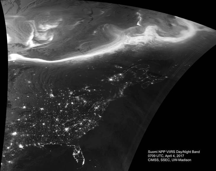
VIIRS has one band unique to all satellite instruments and that is the Day Night Band (DNB), designed to capture low-light emission sources under varying illumination conditions (from the moon) and displayed as a grey-scale image. Day Night Band imagery reveals patterns of human activity and energy behaviors such as cities and highways, shipping and fishing fleets, and wasted natural gas (gas flares) from on- and off-shore oil and gas production sites, AND, it is the only band able to detect the Aurora!
 |
|
 |