Simulated ABI examples
These are also "touch-friendly" and should run on mobile devices.
Combine simulated ABI images to make an RGB
U.S. (10 MAY 2014)
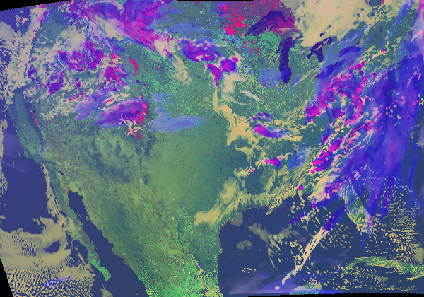 |
U.S. (04 JUNE 2005)
 |
U.S. (11 MAY 2014)
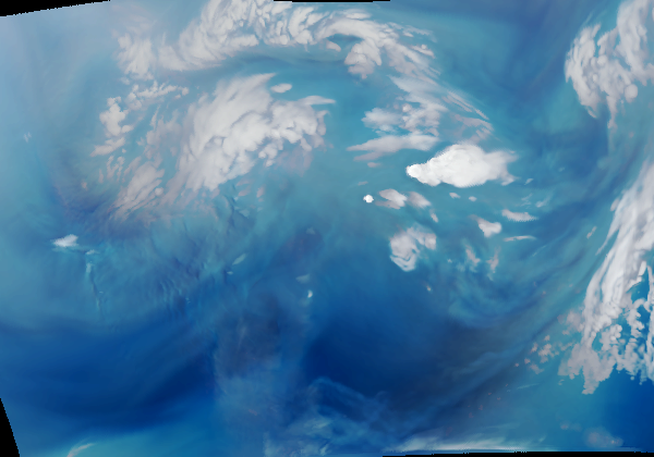 |
Hawaii (26 MAY 2014)
 |
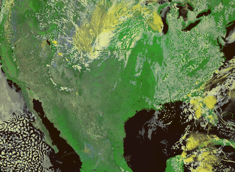
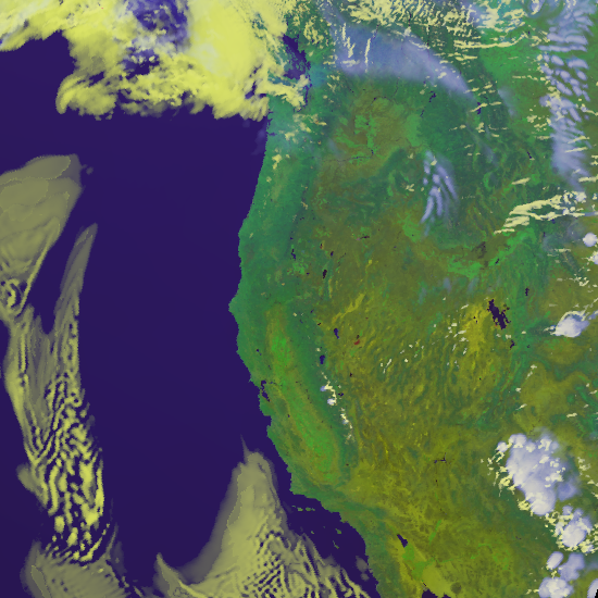
West Coast (26 MAY 2014)
 |
This webapp allows one to explore, via an interactive tool, combining satellite data from different spectral bands to create a blended colorized image.
Related links
GOES-R
Spatial Resolution WebApp
GOES-R Image Resolution Webapp
GOES-R
Spectral Bands WebApp
Additional CIMSS Weather and Climate Webapps
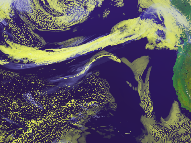
Other Rapid Scan imagery from GOES-14
CIMSS GOES-14 Satellite blog
Unless otherwise noted, all these applets are Copyright© 2014 by Tom Whittaker at the University of Wisconsin-Madison. Imagery provided by Tim Schmit, NOAA NESDIS.