The evolution of the Blizzard of 02-04 January 1999 — which impacted large portions of the Midwest and Great Lakes regions of the US, as well as parts of eastern Canada — was captured by GOES-8 Water Vapor (6.5 µm, 8-km resolution) images (above; also available as a 61-Mbyte animated GIF).... Read More
![GOES-8 Water Vapor (6.5 µm) images [click to play MP4 animation]](https://cimss.ssec.wisc.edu/satellite-blog/wp-content/uploads/sites/5/2016/01/960x1280_AGOES08_B3_GOES08_1999_BLIZZ_WV_1999003_061500_0001PANEL.GIF)
GOES-8 Water Vapor (6.5 µm) images [click to play MP4 animation]
The evolution of the Blizzard of 02-04 January 1999 — which impacted large portions of the Midwest and Great Lakes regions of the US, as well as parts of eastern Canada — was captured by GOES-8 Water Vapor (6.5 µm, 8-km resolution) images
(above; also available as a 61-Mbyte animated GIF). On 01 January, the water vapor image signature of a shortwave trough over New Mexico and Texas could be seen, which began to intensify and move northeastward; at the same time, the signature of another shortwave trough began moving southeastward across eastern Montana and the Dakotas. Energy from this northern shortwave appeared to phase with that of the southern shortwave late on 02 January into early on 03 January, helping the storm to further intensify.
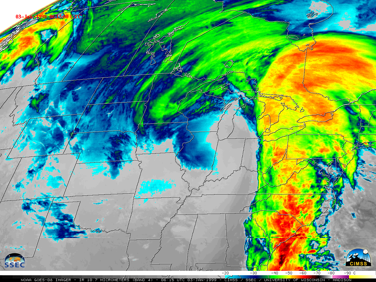
GOES-8 Infrared (10.7 µm, 4-km resolution) images (below; also available as a 111-Mbyte animated GIF) showed that cloud-top IR brightness temperatures began to cool into the -50 to -60º C range (orange to red color enhancement) over large portions of the Upper Midwest and Great Lakes regions during the day on 02 January. As the bulk of the storm energy moved northeastward over Canada on 03-04 January, evidence of clouds associated with a TROugh of Warm air ALoft (TROWAL) persisted across parts of Minnesota and Wisconsin.
![GOES-8 Infrared (10.7 µm) images [click to play MP4 animation]](https://cimss.ssec.wisc.edu/satellite-blog/wp-content/uploads/sites/5/2016/01/960x1280_AGOES08_B4_GOES08_1999_BLIZZ_IR_1999003_061500_0001PANEL.GIF)
GOES-8 Infrared (10.7 µm) images [click to play MP4 animation]
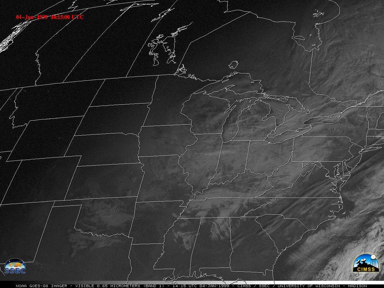
Even though some patches of clouds remained in the aftermath of the blizzard on 04 January, the extent of snow cover across much of the eastern US could be seen — from northern Arkansas to Minnesota, and from the Dakotas and Nebraska to Ohio — on GOES-8 Visible (0.65 µm, 1-km resolution) images
(below; also available as a 15 Mbyte animated GIF). Bands of lake effect snow were also evident over each of the Great Lakes, as very cold arctic air flowed across the ice-free waters in the wake of the storm.
![GOES-8 Visible (0.65 µm) images [click to play MP4 animation]](https://cimss.ssec.wisc.edu/satellite-blog/wp-content/uploads/sites/5/2016/01/960x1280_AGOES08_B1_GOES08_1999_BLIZZ_VIS_1999004_181500_0001PANEL.GIF)
GOES-8 Visible (0.65 µm) images [click to play MP4 animation]
In the Upper Midwest region, storm total snowfall amounts included: 28.0 inches in South Haven, Michigan; 26.8 inches in Plymouth, Indiana; 23.0 inches in Dalton, Wisconsin; and 19.6 inches a Chicago O’Hare, Illinois. Chicago recorded 18.6 inches of snow on 02 January — their largest single-day snowfall on record. In Canada, Toronto, Ontario’s Pearson International Airport was closed by the storm, where 16.0 inches of snow fell. With deep snow cover and a cold post-storm arctic air mass in place, the all-time record low temperature for the state of Illinois (-36º F) was set at
Congerville on 05 January.
Additional details on the January 1999 Blizzard can be found here and here.
View only this post
Read Less
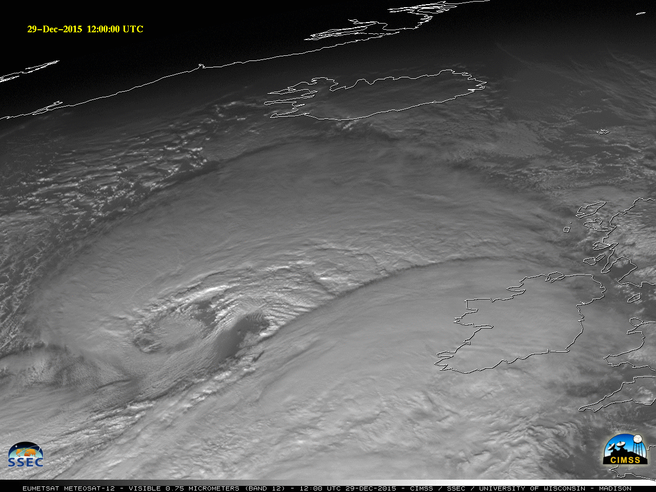
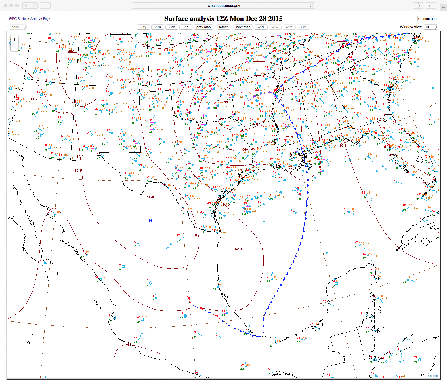
![Northeast Atlantic surface analysis maps [click to enlarge]](https://cimss.ssec.wisc.edu/satellite-blog/wp-content/uploads/sites/5/2015/12/151229-30_North_Atlantic_surface_analysis_anim.gif)
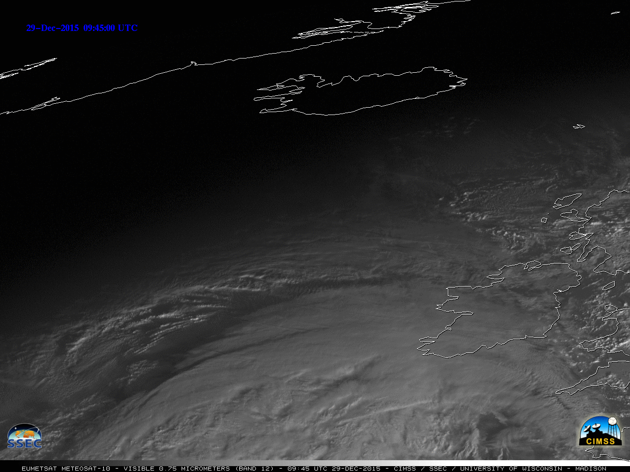
![Meteosat-10 Visible (0.75 µm) images [click to play MP4 animation]](https://cimss.ssec.wisc.edu/satellite-blog/wp-content/uploads/sites/5/2015/12/960x1280_MSG_B12_MET12_29DEC_ICELAND_VIS_2015363_120000_0001PANEL.GIF)
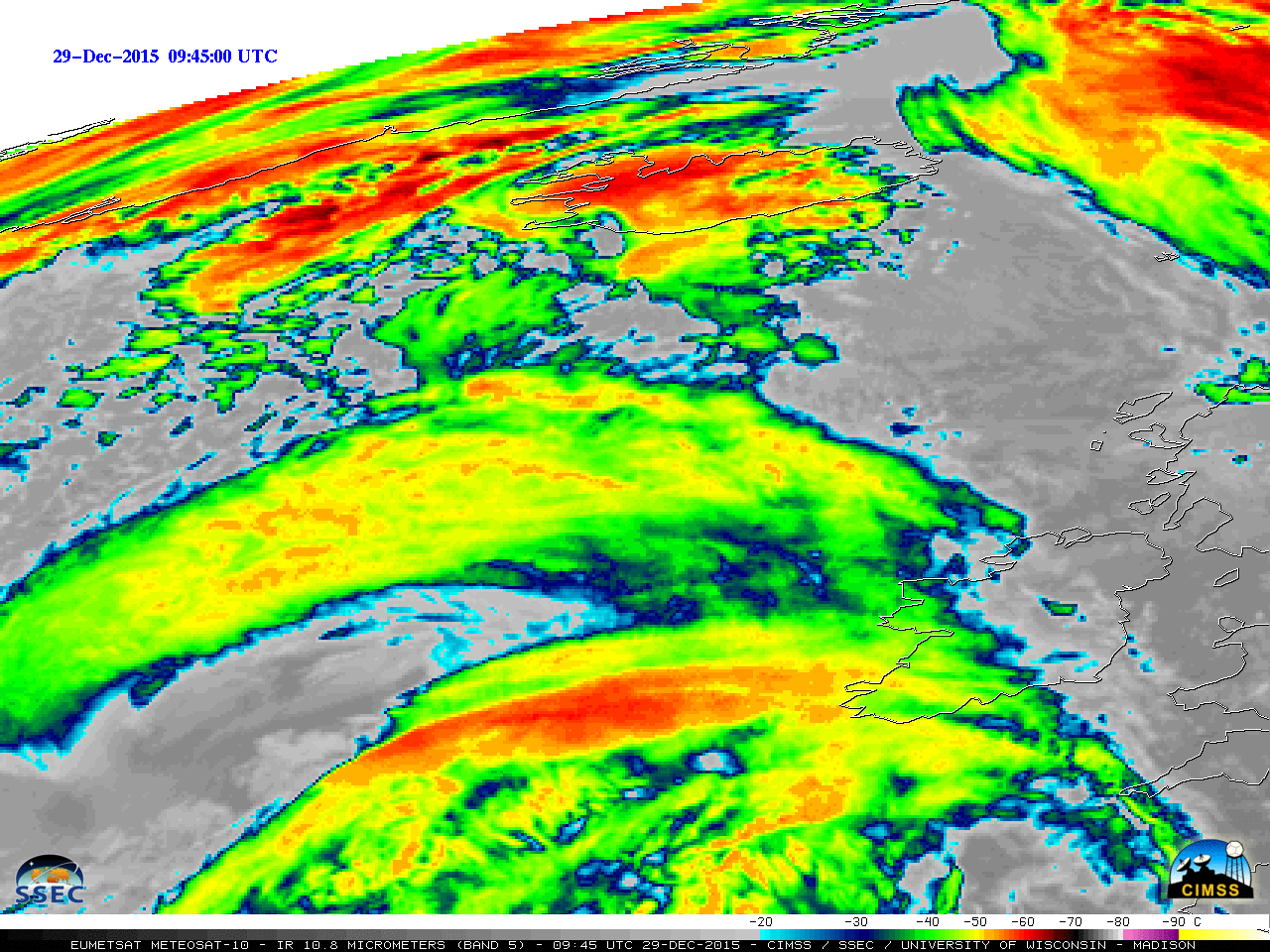
![Meteosat-10 Infrared (10.8 µm) images [click to play MP4 animation]](https://cimss.ssec.wisc.edu/satellite-blog/wp-content/uploads/sites/5/2015/12/960x1280_MSG_B9_MET10_29DEC_ICELAND_IR_2015364_000000_0001PANEL.GIF)
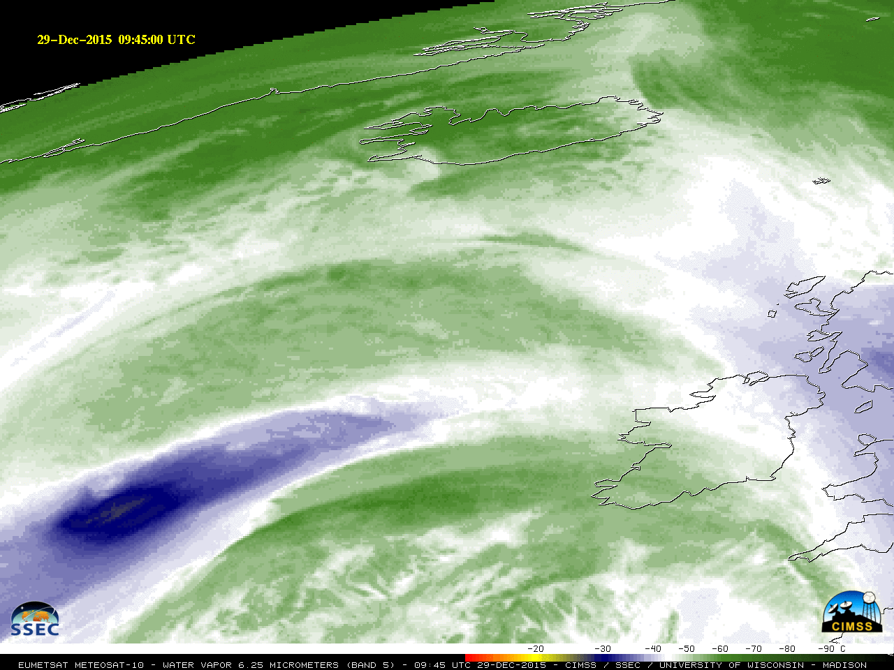
![Meteosat-10 Water Vapor (6.25 µm) images [click to play MP4 animation]](https://cimss.ssec.wisc.edu/satellite-blog/wp-content/uploads/sites/5/2015/12/960x1280_MSG_B5_MET10_29DEC_ICELAND_WV_2015364_000000_0001PANEL.GIF)
![Meteosat-10 Water Vapor (6.25 µm) image at 0630 UTC on 30 December, with surface station IDs [click to enlarge]](https://cimss.ssec.wisc.edu/satellite-blog/wp-content/uploads/sites/5/2015/12/151230_0630Z_MET10_WV_METAR_ID.GIF)
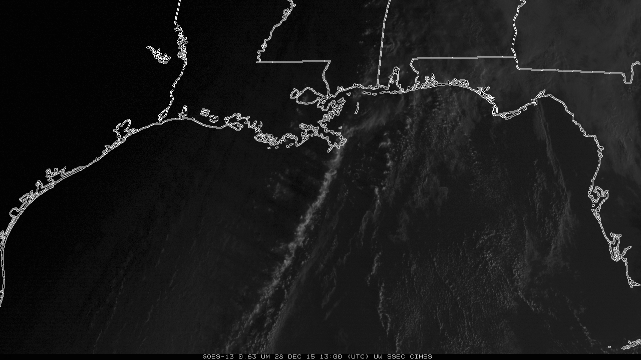
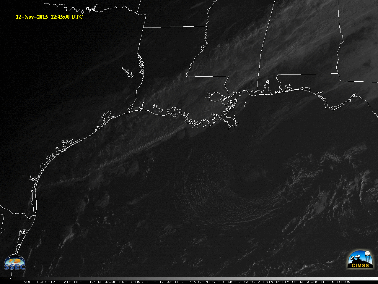
![GOES-13 Visible Imagery (0.63 µm) and surface reports [click to enlarge]](https://cimss.ssec.wisc.edu/satellite-blog/wp-content/uploads/sites/5/2015/12/RopeCloud_1400_1800UTC_28December2015anim.gif)
![GOES-13 Visible Imagery (0.63 µm), 1300-1430 UTC on 28 December 2015 [click to enlarge]](https://cimss.ssec.wisc.edu/satellite-blog/wp-content/uploads/sites/5/2015/12/GOES13_1300_1430_28DEC2015anim.gif)
![MODIS Visible (0.65 µm) and Infrared (11.0 µm) images [click to enlarge]](https://cimss.ssec.wisc.edu/satellite-blog/wp-content/uploads/sites/5/2015/12/151228_1702utc_modis_visible_ir_Gulf_of_Mexoco_rope_cloud_anim.gif)
![ASCAT Scatterometer Winds, 0248 UTC on 29 December, 2015 [click to enlarge]](https://cimss.ssec.wisc.edu/satellite-blog/wp-content/uploads/sites/5/2015/12/ASCAT_0248UTC_29dece2015.png)
