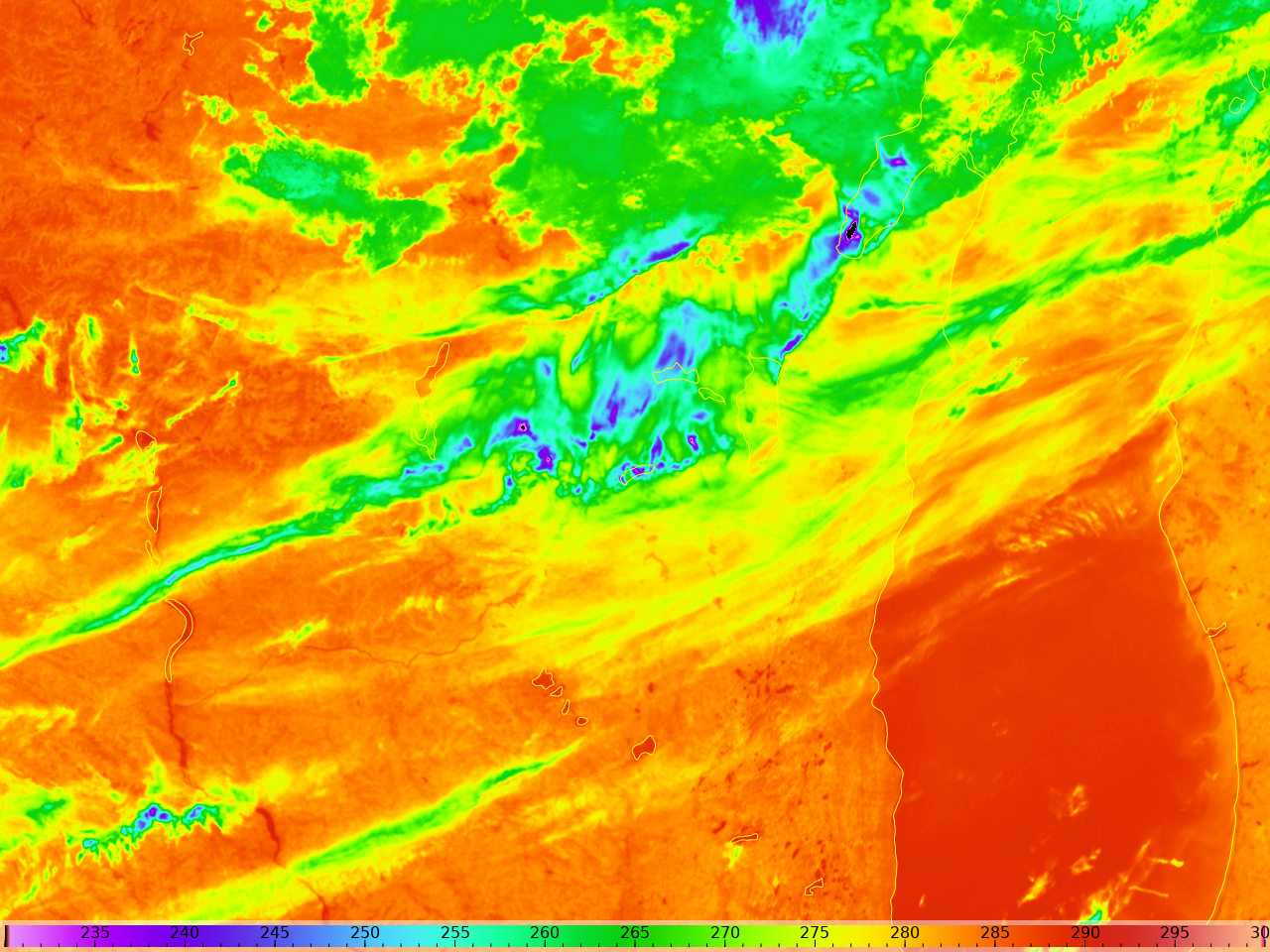
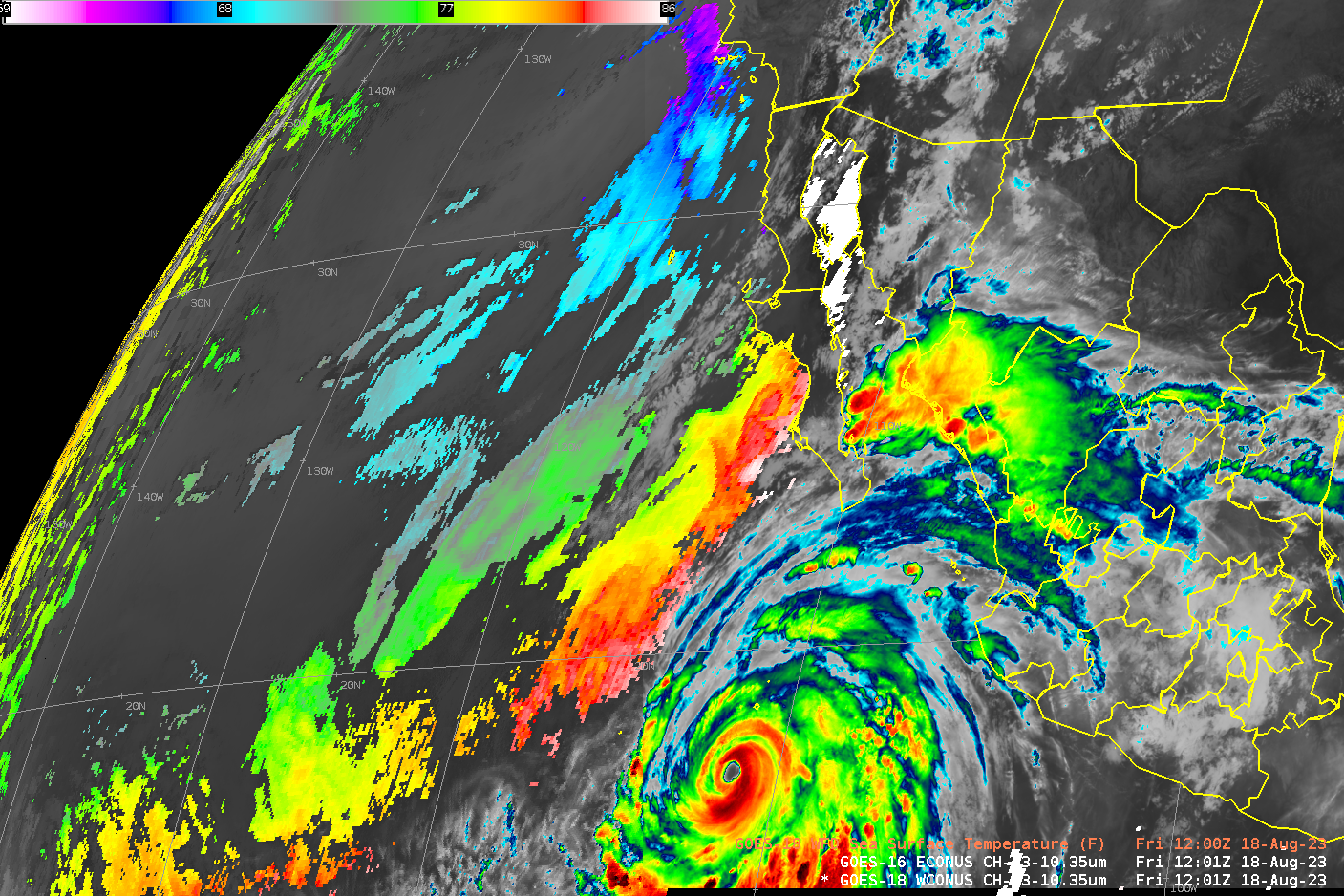
Tropical Storm Hilary makes landfall in Baja California
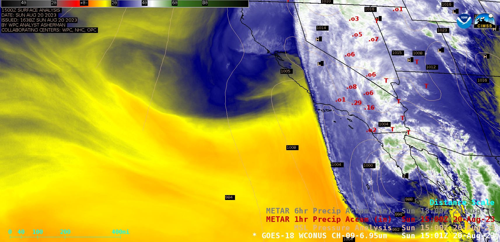
GOES-18 (GOES-West) Mid-level Water Vapor (6.9 µm) images (above) included plots of 1-hour Precipitation Accumulation — which showed rainfall associated with the northward spread of moisture across the Southwest US as Tropical Storm Hilary made landfall in Baja California on 20 August 2023. A similar animation with plots of 6-hour Precipitation Accumulation is... Read More