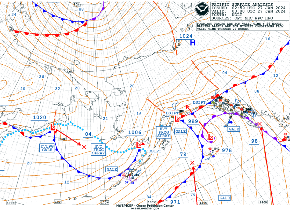
Wind, Storms, and Gales in Alaska
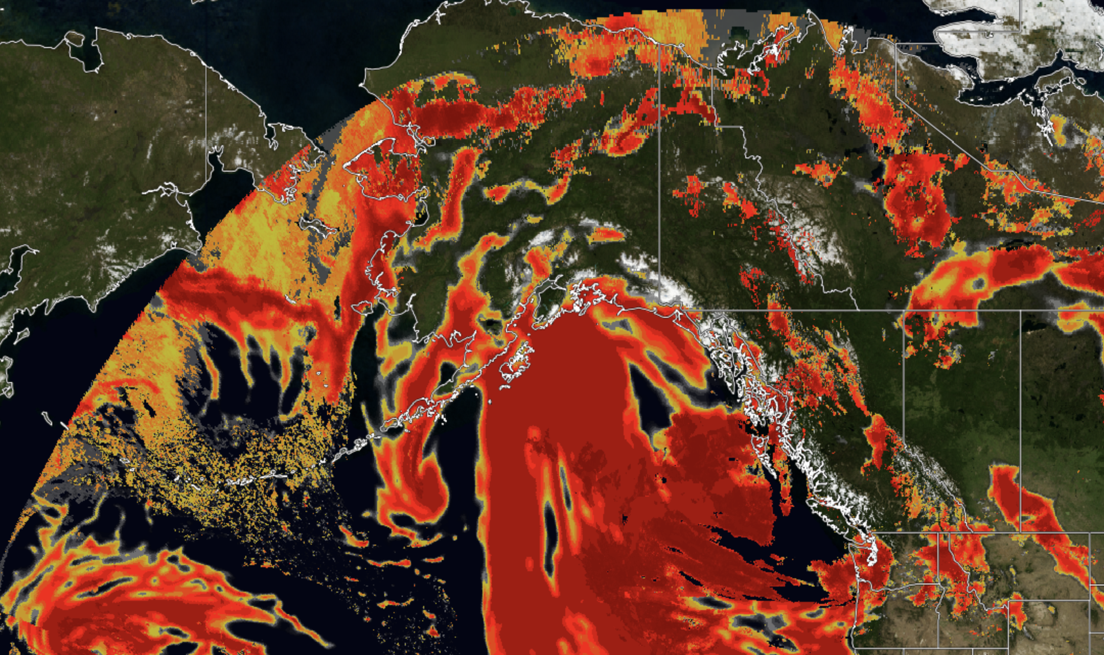
On February 12, 2024, much of inland Alaska is experiencing warnings for wintery precipitation, while coastal Alaska is under warnings for storms, gales, and heavy freezing spray. Southeastern Alaska is also under a small craft advisory.The low-pressure system associated with this inclement weather is seen easily from the GOES-West imagery.... Read More
