NUCAPS profiles are back in AWIPS
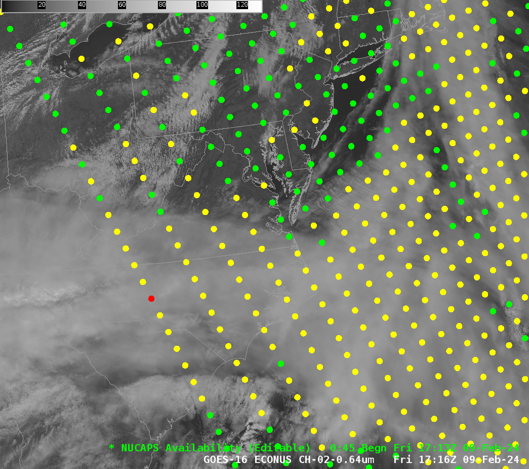
After an outage of about a week brought on by an anomaly in NOAA-20 (since fixed), NUCAPS profiles have re-appeared in AWIPS workstations, starting with the 1713 UTC overpass over the Eastern United States, shown above. One use for NUCAPS is to gauge how well a forecast is evolving. For... Read More