NOAA-20 VIIRS views of the Great Lakes in December 2020
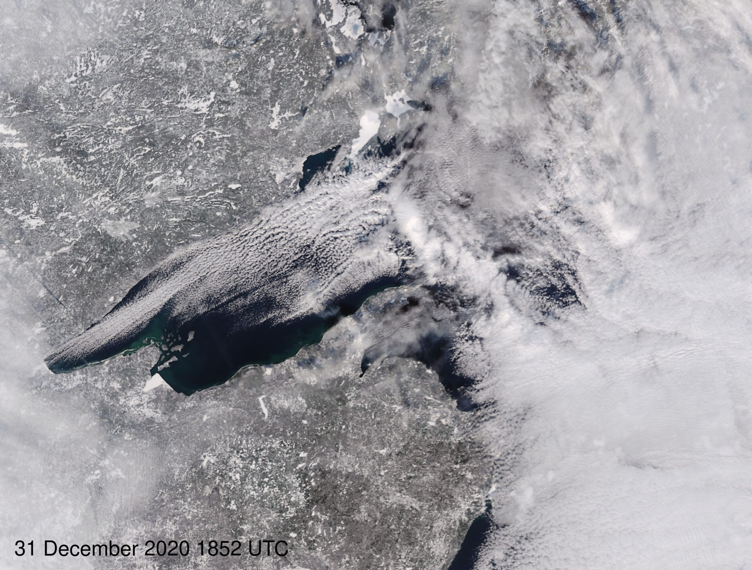
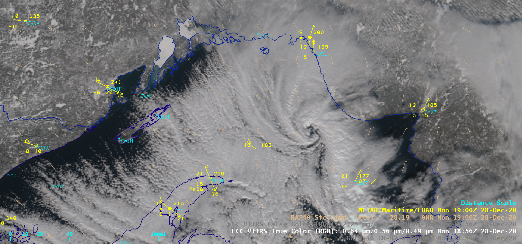
As noted here, the ftp site that holds imagery from the CIMSS/SSEC Direct Broadcast site (link) includes daytime True-Color imagery (spectacular imagery!) derived from the NOAA-20 and Suomi-NPP VIIRS instrument. Daily sectorized views of each of the Great Lakes are created, and these can be strung together, as in this... Read More

