Assessing Rain chances on American Samoa
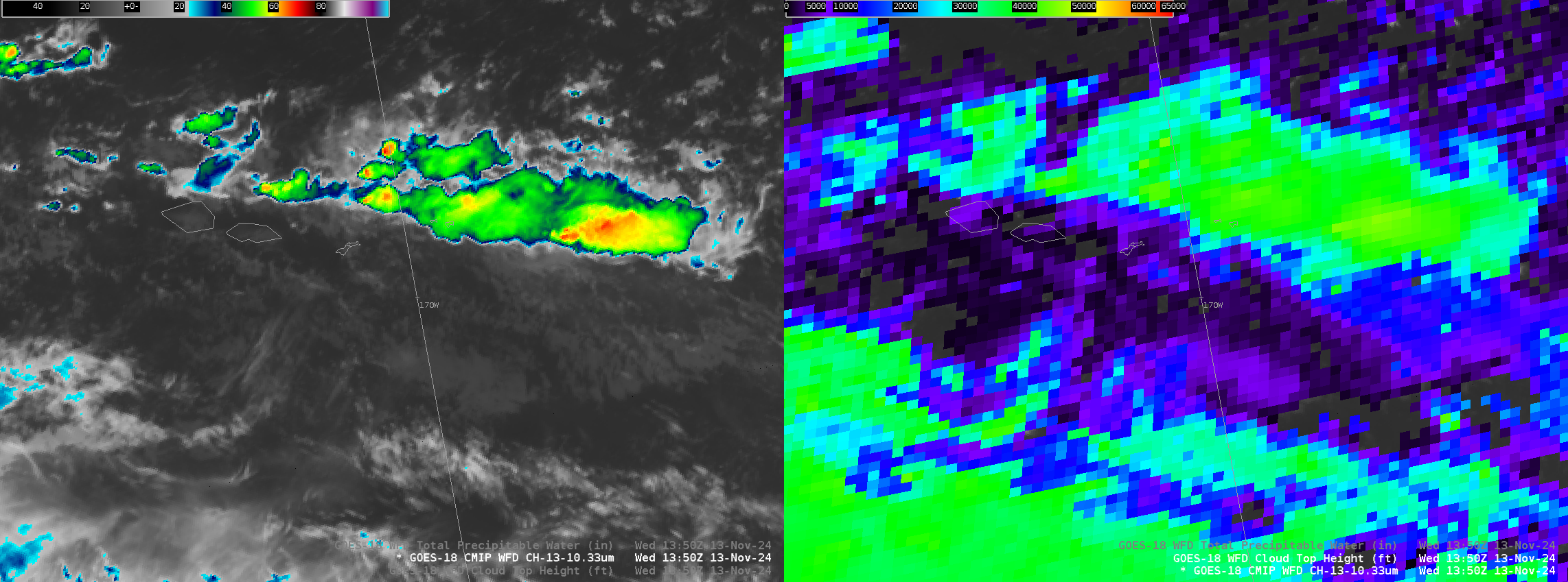
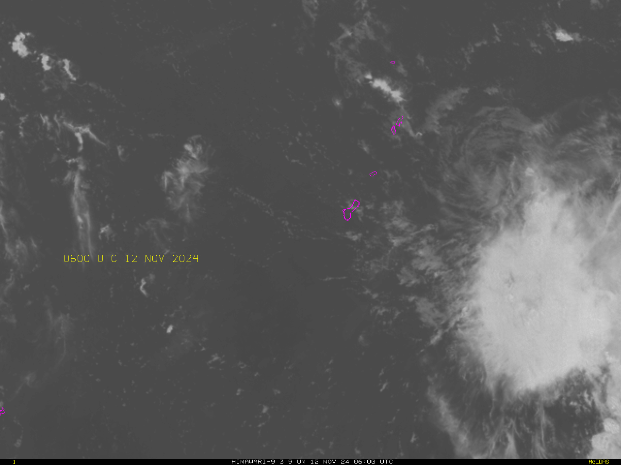
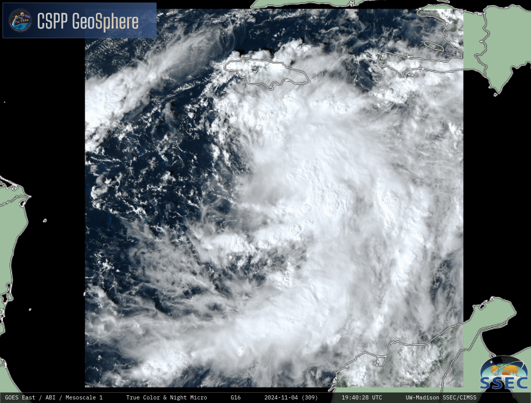
The Night Microphysics RGB animation from the CSPP Geosphere site (direct link to animation) below shows clouds of various heights (and temperatures). For example deep high clouds (likely precipitating) stretch northwest to southeast to the north of the Samoan Island chain. Low clouds are indicated over the three main Samoan islands: Savai’i, Upolu and... Read More