Deadly flash flooding in Ruidoso, New Mexico
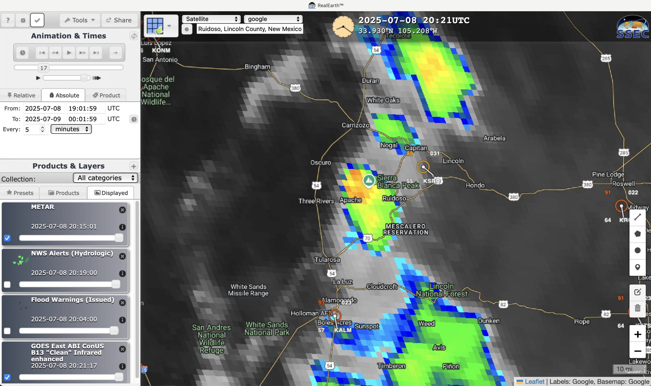
5-minute CONUS Sector GOES-19 (GOES-East) Infrared images displayed using RealEarth (above) showed a series of southward-moving thunderstorms that produced 1.91″ of rainfall near Ruidoso (and 3.29″ over the nearby South Fork Fire burn scar) on 08 July 2025. The resulting flash flooding was responsible for 3 fatalities, and damaged dozens of homes.The... Read More

