Antecedent Conditions for a Nor’easter
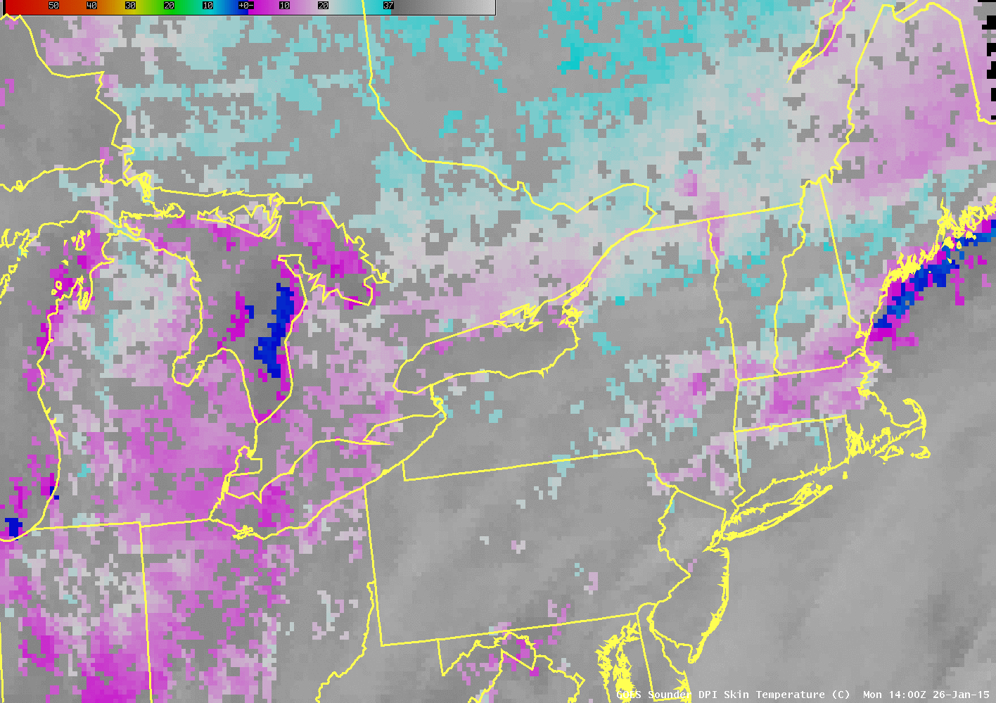
Forecasts have been consistent in the past days for a storm of historic proportions over parts of southern New England. What conditions that are present now argue for the development of a strong winter storm? The image above is the GOES Sounder Land Surface Temperature (or “Skin Temperature”) product; cold... Read More

