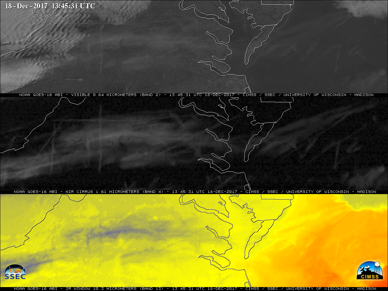
GOES-16 is now the operational GOES-East satellite
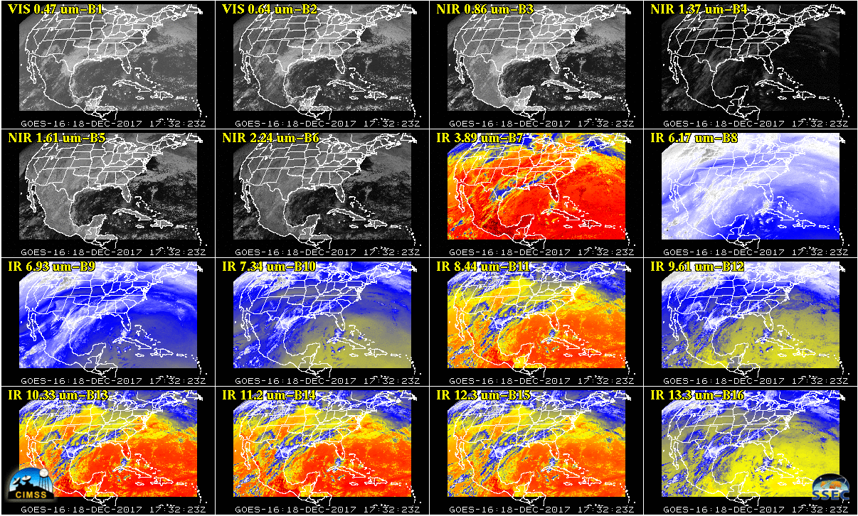
GOES-16, which has been sending data from the GOES-East position since 14 December, became the operational GOES-East satellite at 2100 UTC on 18 December, succeeding GOES-13 [which itself became GOES-East, succeeding GOES-12, in April 2010; (this post, from April 2003, is the first one with GOES-12 as the operational GOES-East, it took over for GOES-8... Read More