Tropical Storm Pali in the central Pacific
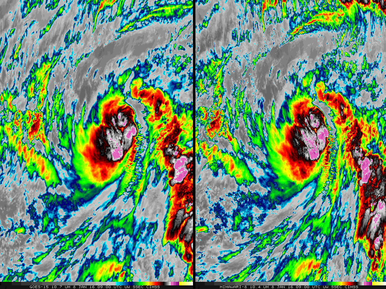
Tropical Storm Pali has formed in the central Pacific, in a region east-southeast of Kwajalein Atoll (which atoll is at 9 N, 168 E), just west of warm Sea Surface Temperature anomalies (Source) associated with the ongoing El Nino. For the Central Pacific basin, Pali set new records for being the earliest-forming tropical cyclone on record... Read More
