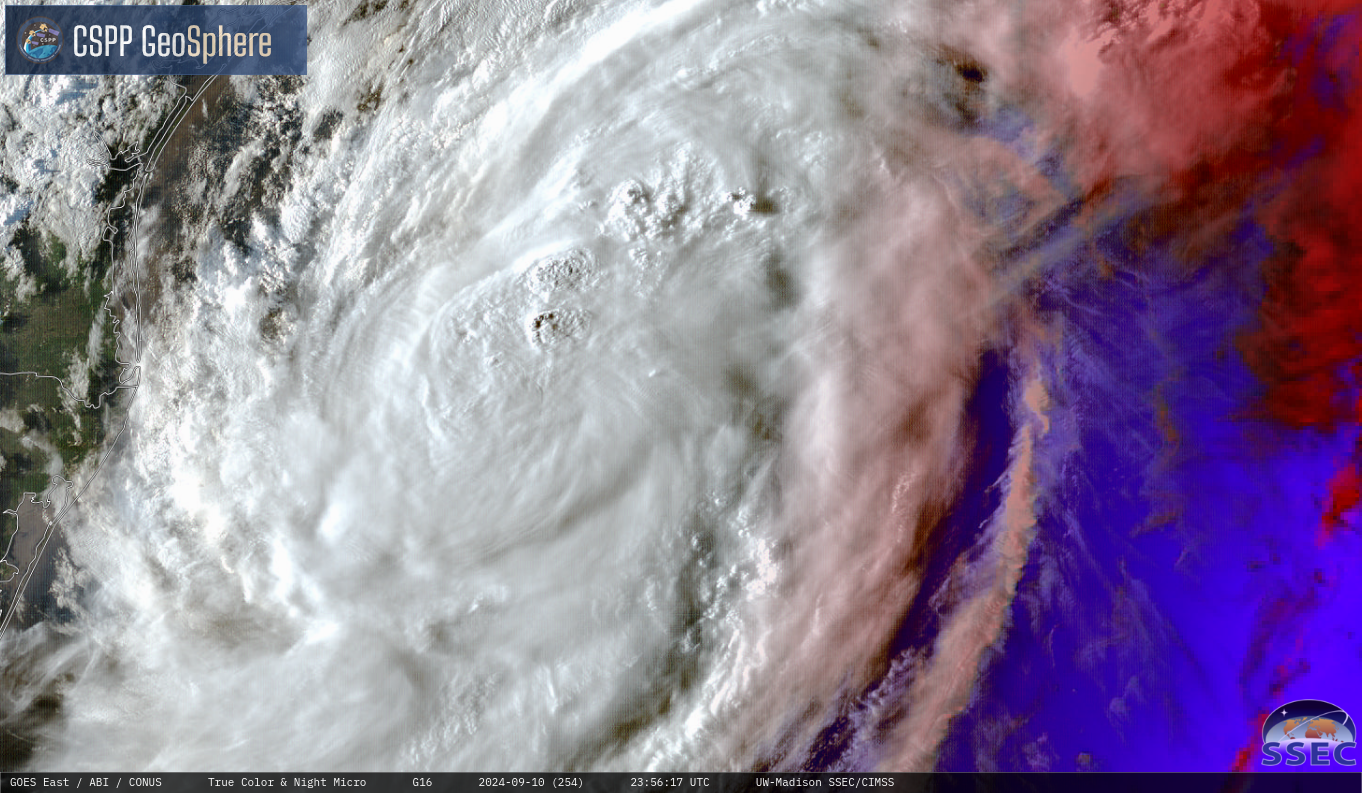
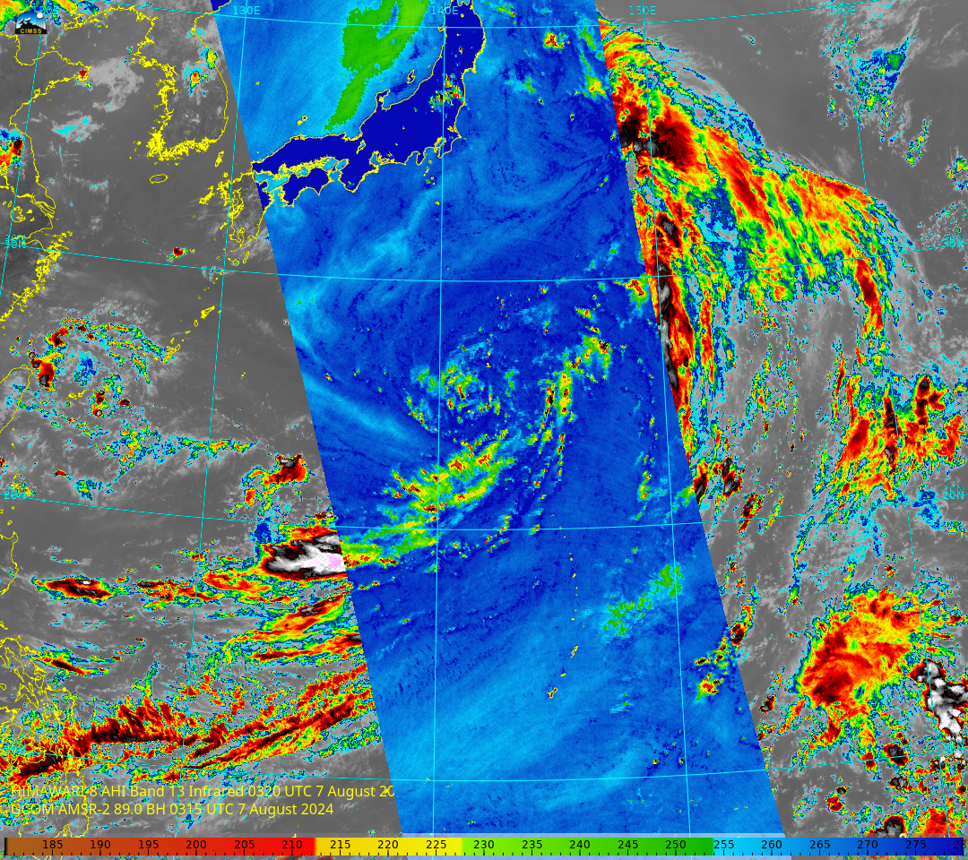
Potential tropical cyclone formation near Guam

The Joint Typhoon Warning Center is currently monitoring two areas of interest of near Guam for potential tropical cyclone formation. The first, 99W, is located due east of Guam, while the second invest, 98W, is further southeast. During the local overnight hours today between 14:54 and 16:11 UTC, the VIIRS instruments onboard S-NPP,... Read More