Shallow fog/stratus over snow cover in Saskatchewan, Manitoba and North Dakota
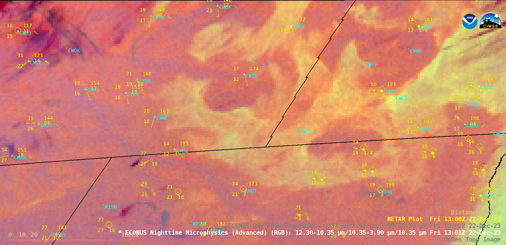
GOES-16 (GOES-East) Nighttime Microphysics RGB and Day Snow-Fog RGB images (above) displayed the nocturnal formation — followed by the daytime dissipation — of shallow fog/stratus across snow-covered (shades of red in Day Snow-Fog RGB imagery) parts of southeastern Saskatchewan, southwestern Manitoba and northern North Dakota on 22 December 2023. With surface air temperatures dropping into the... Read More
