Flash Flooding in American Samoa

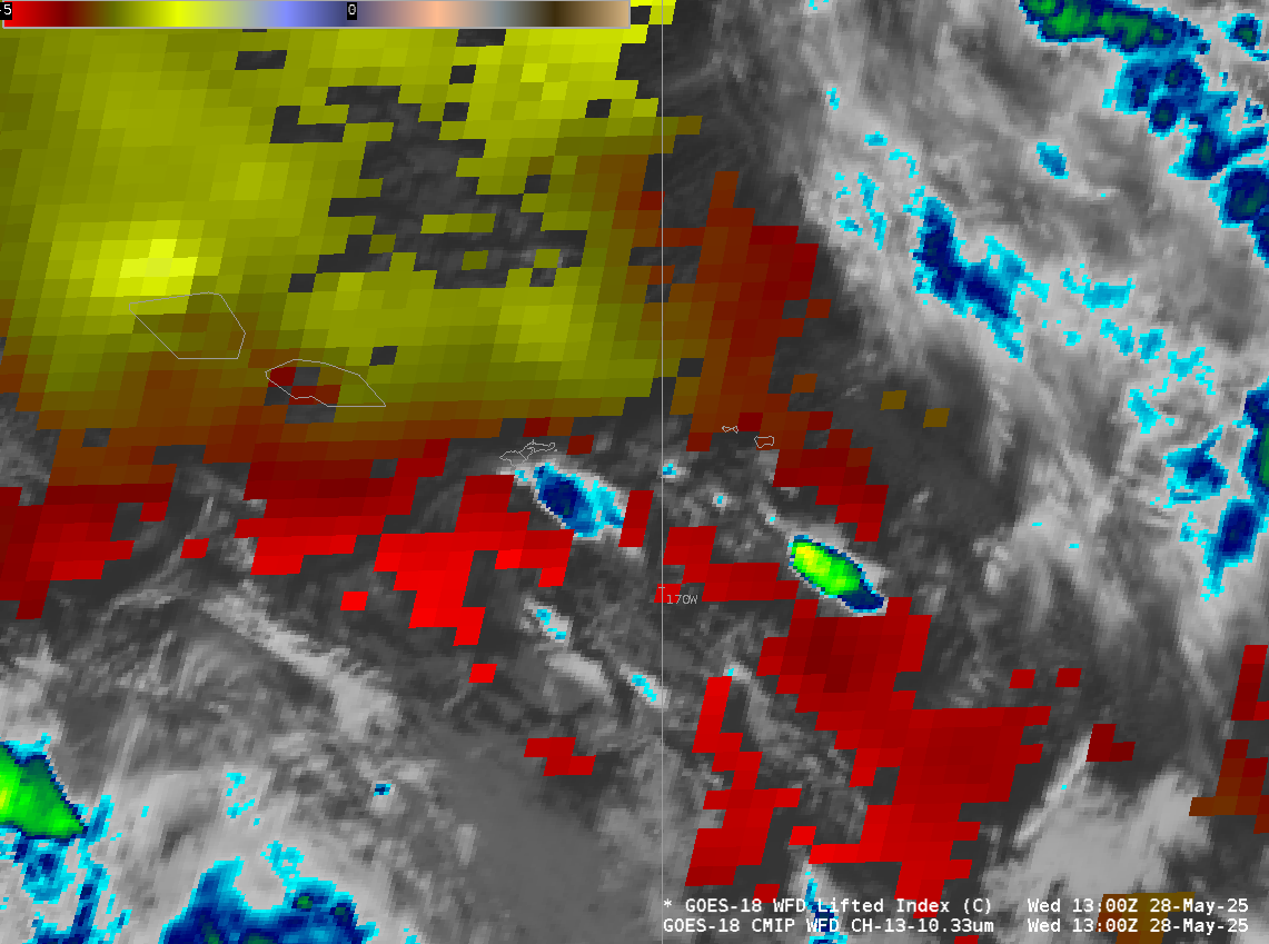
The residents of American Samoa found themselves in the early morning hours of 20 November 2025, as strong maritime convection moved into the region. There is no radar in the area, so satellite observations are critical for operational awareness and nowcasting. The Band 13 infrared view on GOES-18 showed a... Read More