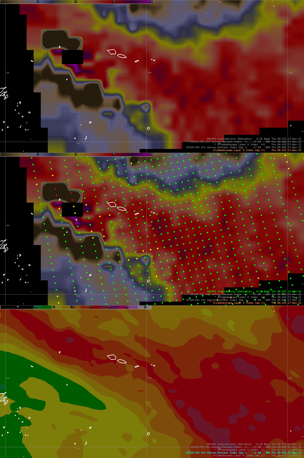
Comparing The Gálvez-Davison Index to Satellite-derived K-Index fields at American Samoa

The Gálvez-Davison index (GDI) is a useful derived product (available online here from NCEP) for predicting tropical convection in tradewind regimes. In general, the larger the GDI, the more likely that showers and thunderstorms will be present. The toggle above compares GDI with K-Index derived from NUCAPS data (the Sounding Availability plot shows in green where the NUCAPS retrieval completed successfully; i.e., where the data are considered most appropriate). There’s good spatial correlation between the GDI and the diagnosed stability.
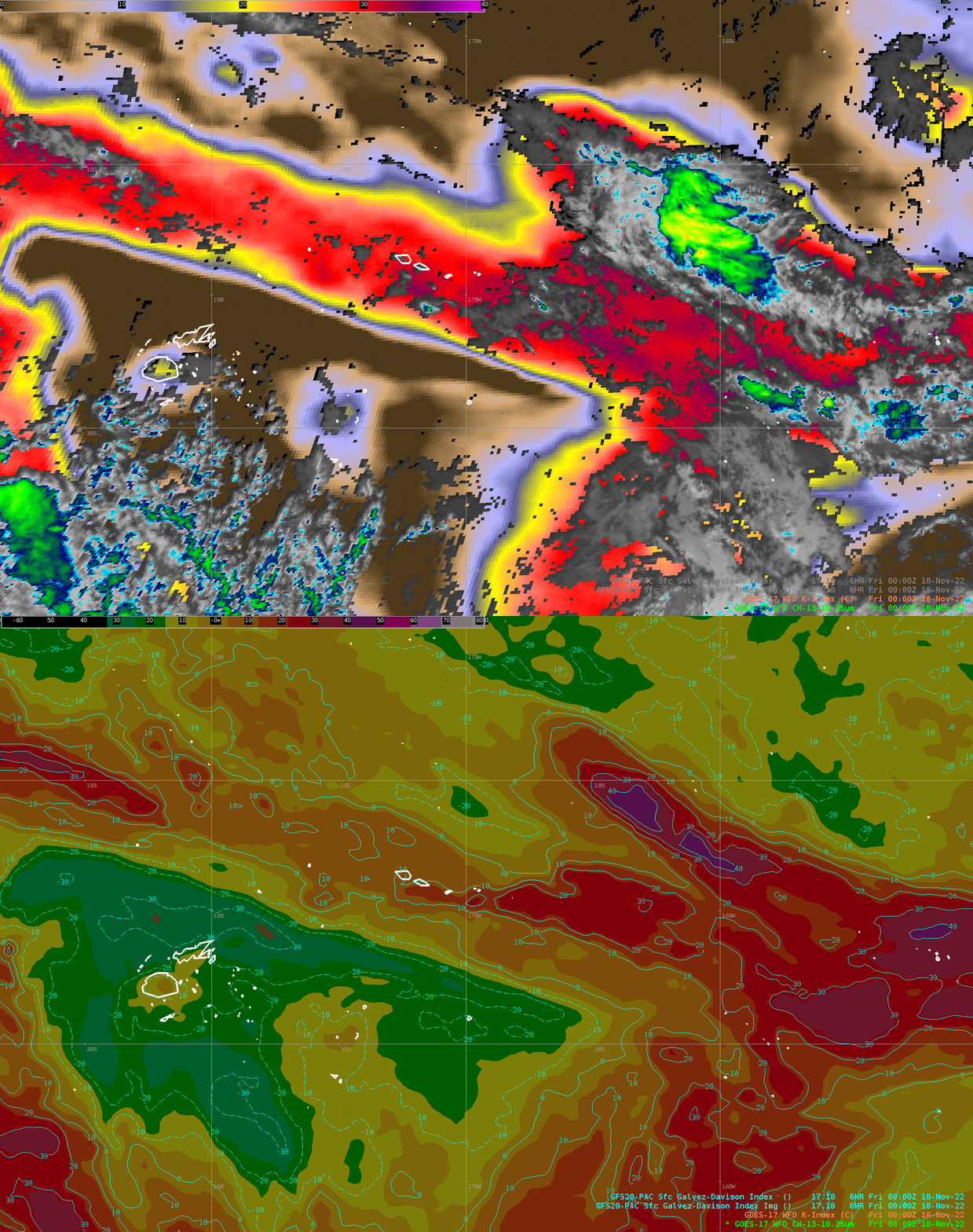
The toggle below compares GDI from GFS to the GOES-17 K-index (a Level 2 GOES-R derived stability product computed in clear skies only) that is displayed on top of GOES-17 Band 13 Clean Window infrared (10.3 um) imagery. A corridor of lower stability is readily apparent in the K Index, stretching across the Samoan Islands. Relatively stable air overlays Fiji, and a large region of instability lies east of American Samoa. The GDI agrees very well with the K Index derived from the satellite data, and convection as diagnosed by the Band 13 imagery is limited to regions where GDI values are larger. It is a good practice is to compare the K Index and the GDI. If the K Index starts to diverge from the predicted GDI, it’s a good idea to ask why!

Thanks to Dora Meredith and Elinor Lutu-McMoore, WGO PPG, for their assistance with this blog post!

