This website works best with a newer web browser such as Chrome, Firefox, Safari or Microsoft Edge. Internet Explorer is not supported by this website.

Stories by Scott Lindstrom

Cirrus detection from satellite

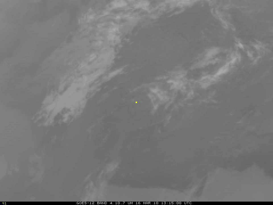
The visible imagery loop from GOES-12, above, shows cirrus clouds around southern Wisconsin at 1315 UTC on 16 March (1st image in loop), and at 2215 UTC on 16 March (last image in loop), but relatively few at 1615 UTC (middle image). In contrast, the infrared imagery loop (here), indicates... Read More

Snow in the Northeast

A series of snowstorms this winter, sometimes chronicled here in the CIMSS blog, have left a hefty snowpack over the Mountains of New England and New York. The series of storms has also meant abundant cloudiness, but on March 16th, clear skies prevailed as the Aqua satellite, with a MODIS... Read More

Change of Season in Upper Midwest

MODIS imagery from the Terra satellite clearly show the change in snowcover over the upper Midwest in the past week. The first image, from 6 March, shows widespread snowcover. The second image, from 15 March, shows widespread bare ground. The period from 9 March through 13 March was one of... Read More

Detection of convective initiation and the first tornado in March

After an unusually quiet February tornado-wise in the United States (only one tornado was reported, an EF-0 in California that lasted for 3 minutes late in the day on February 27th), two tornadoes touched down near sunset in western Oklahoma, near the town of Hammon. The above animation from NAWIPS shows 1-km GOES-12 visible imagery with superimposed contours of cloud-top cooling (and lightning strikes) from about 2000 UTC on 9 March to 0015... Read More