Stories by Scott Lindstrom
Cyclone Seroja
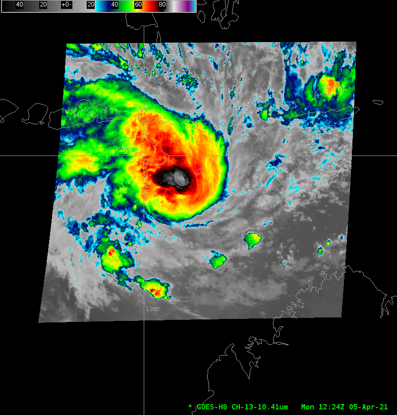
Himawari-8 ‘Target Area’ imagery (with a 2.5-minute timestep) on 5 April show the evolution of Cyclone Seroja over the Timor Sea northwest of Australia. (Click here for an mp4 animation). Periodic bursts of deep convection (black and white in the color-enhancement) are apparent in the center of the storm. Analyses... Read More
Early Spring over the Great Lakes
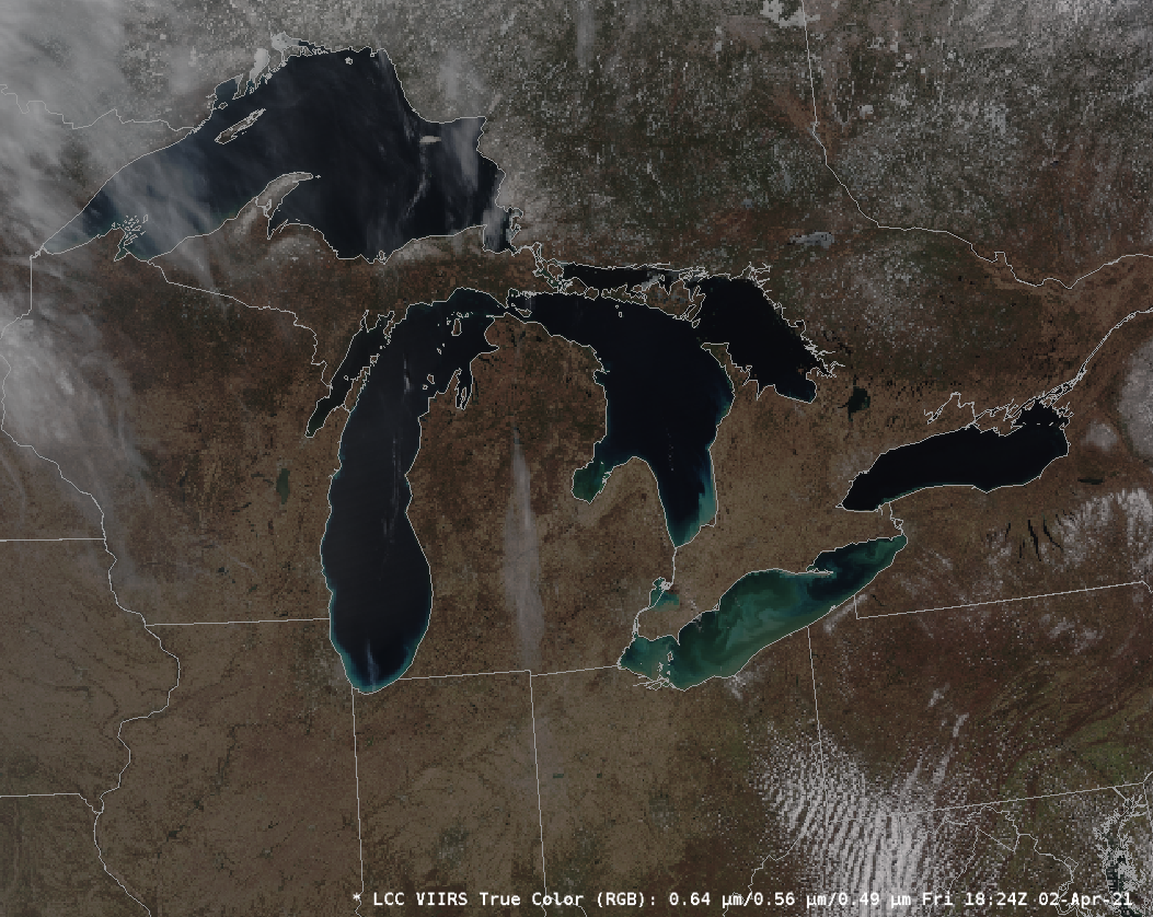
VIIRS data from the ascending NOAA-20 overpass on 2 April 2021 — with data downloaded at the Direct Broadcast site at UW-Madison — showed predominantly clear skies over the Great Lakes. Lake ice is confined to bays on the north shore of Lake Superior, and a hint of green appears... Read More
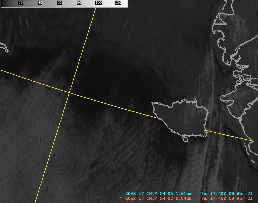
Thunderstorms northeast of Guam

The animation above shows Himawari full-disk imagery from 2300 UTC on 1 April through 1140 UTC on 2 April and depicts a cluster of thunderstorms over the Pacific Ocean far to the northeast of Guam. A particular challenge in diagnosing atmospheric events over the open Pacific is the lack of... Read More
