This website works best with a newer web browser such as Chrome, Firefox, Safari or Microsoft Edge. Internet Explorer is not supported by this website.

Stories by Scott Lindstrom

Strong winds over Lake Michigan
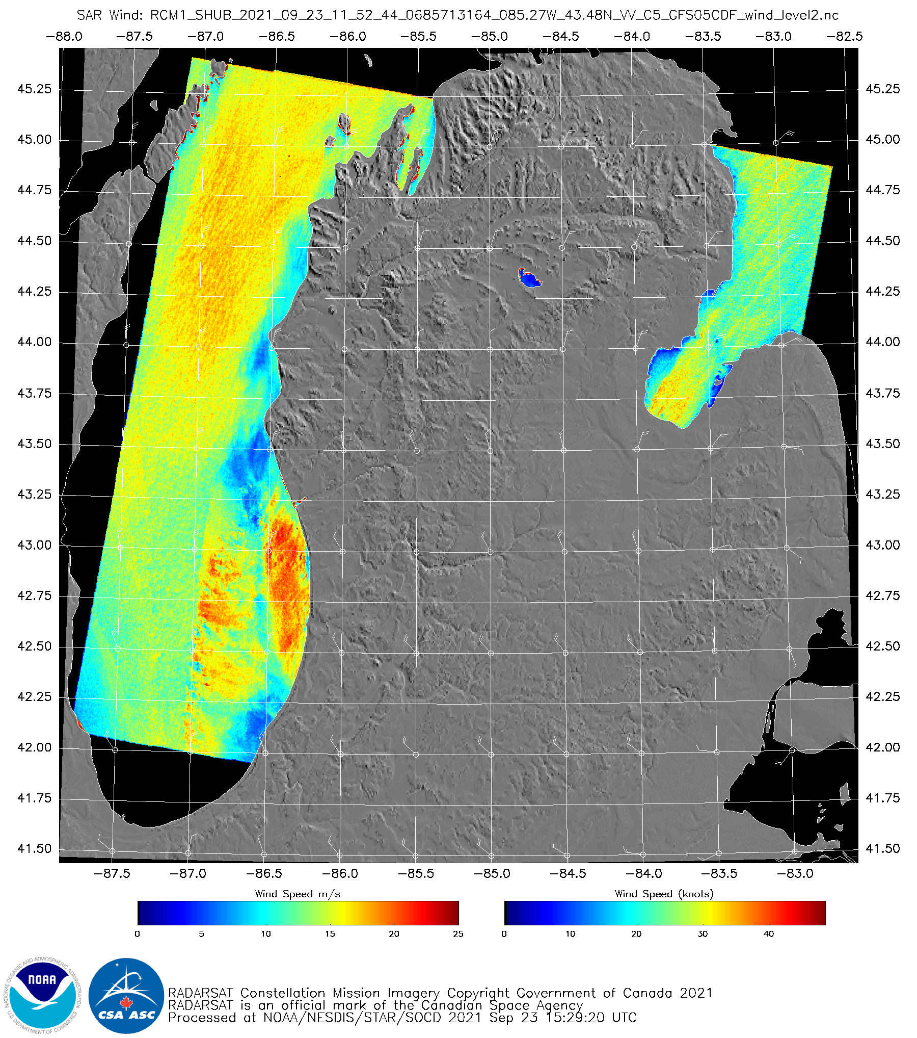
GOES-16 “Veggie Band” near-infrared imagery (Band 3, 0.86 µm), above, (from the CSPP Geosphere website, click here for a link to the animation at that website) shows an early-season Fall cyclone over lower Michigan. During the animation, RADARSAT Constellation Mission Satellite 1 (RCM-1) was in a descending pass down Lake Michigan. Synthetic... Read More

Sheared Tropical Storm Peter

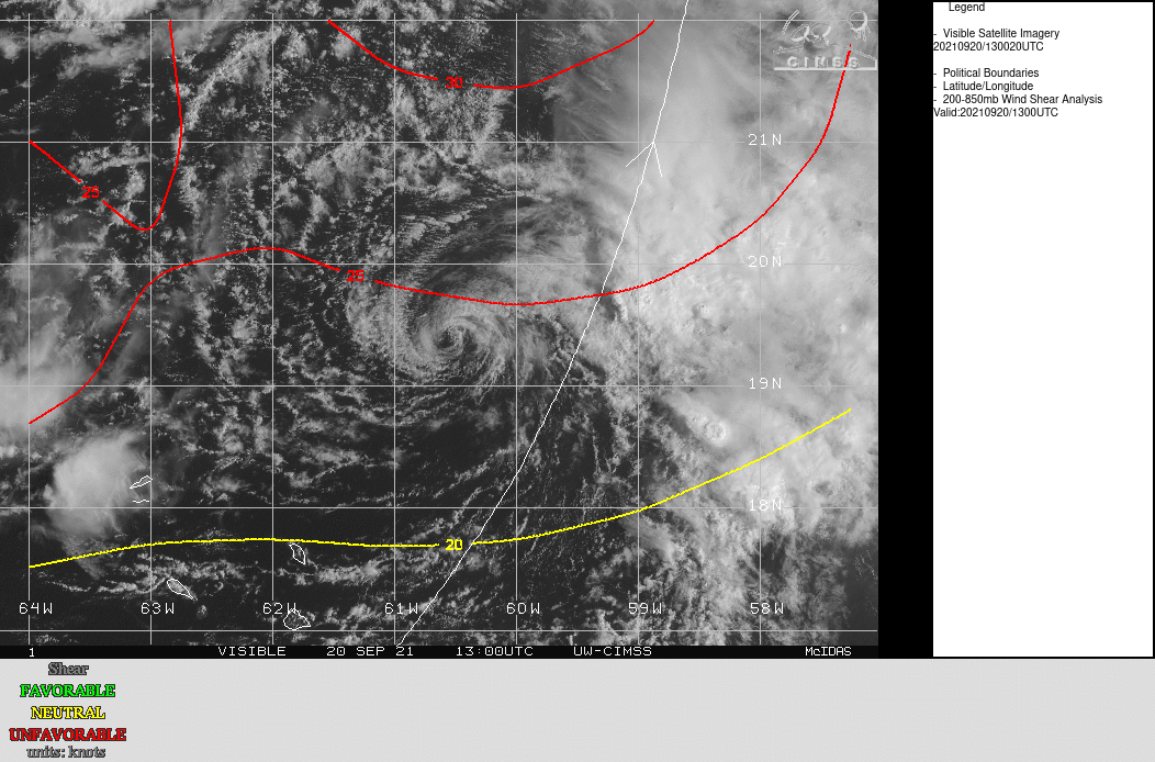
Suomi NPP Day Night imagery, in a toggle above with infrared imagery from GOES-16, (both displayed in RealEarth) depicts a classic sheared Tropical Cyclone structure to the east-northeast of the Caribbean Sea. The low-level circulation (very apparent in the nighttime visible imagery under the illumination of a near-full moon) is... Read More

Local Noon imagery near the Equinox

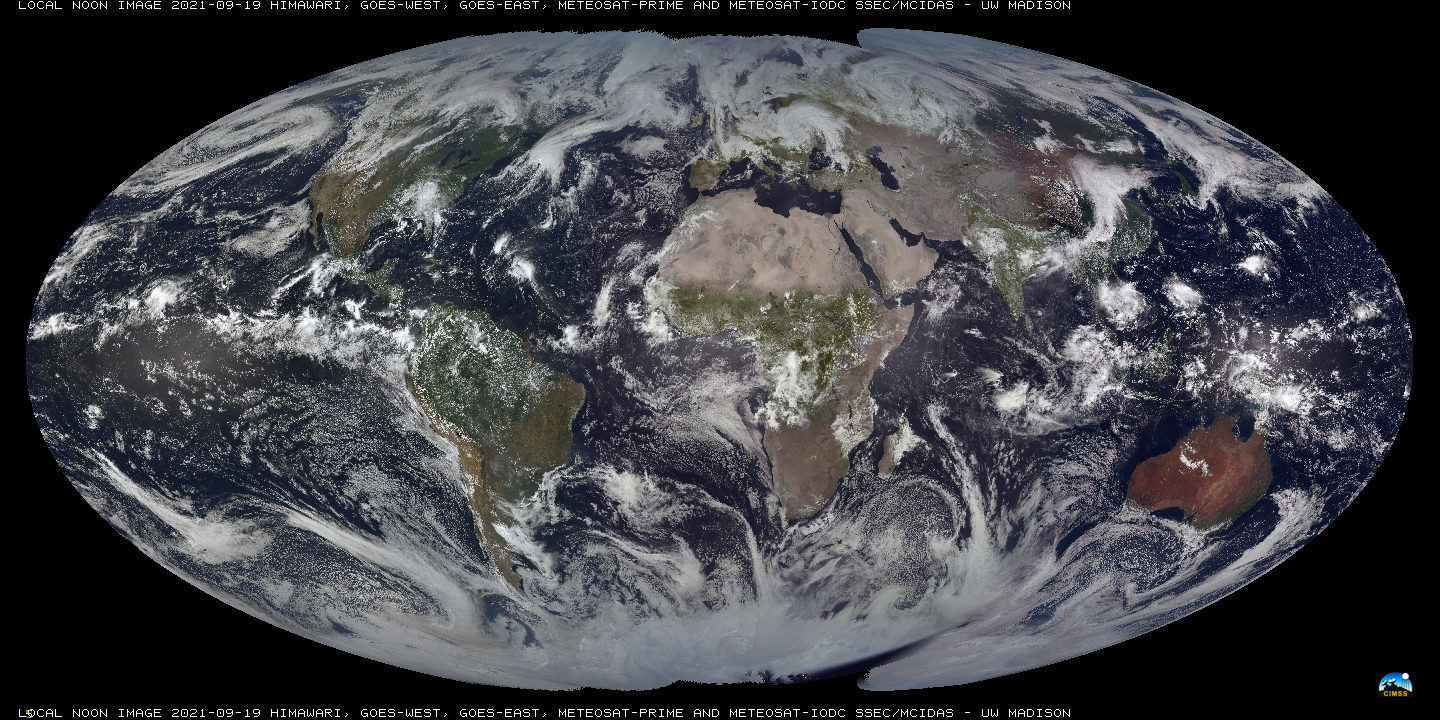
SSEC/CIMSS scientists (notably Rick Kohrs) create daily imagery that blends vertical strips of true-color imagery at local Noon, starting near the dateline and proceeding westward. A year-long animation of this product is available here, and was discussed on this blog previously here (and here). Recent images are available at this website... Read More