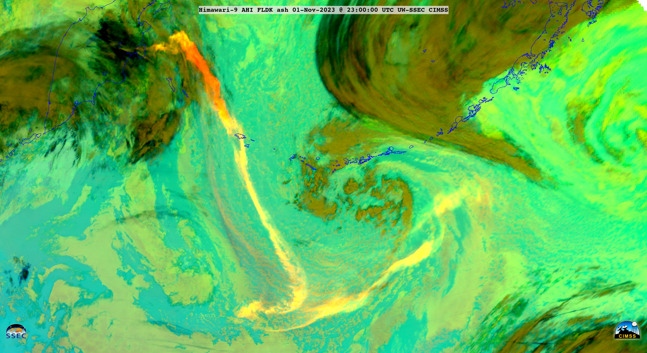
Volcanic cloud from Klyuchevskaya moves over Saskatchewan, North Dakota and Minnesota
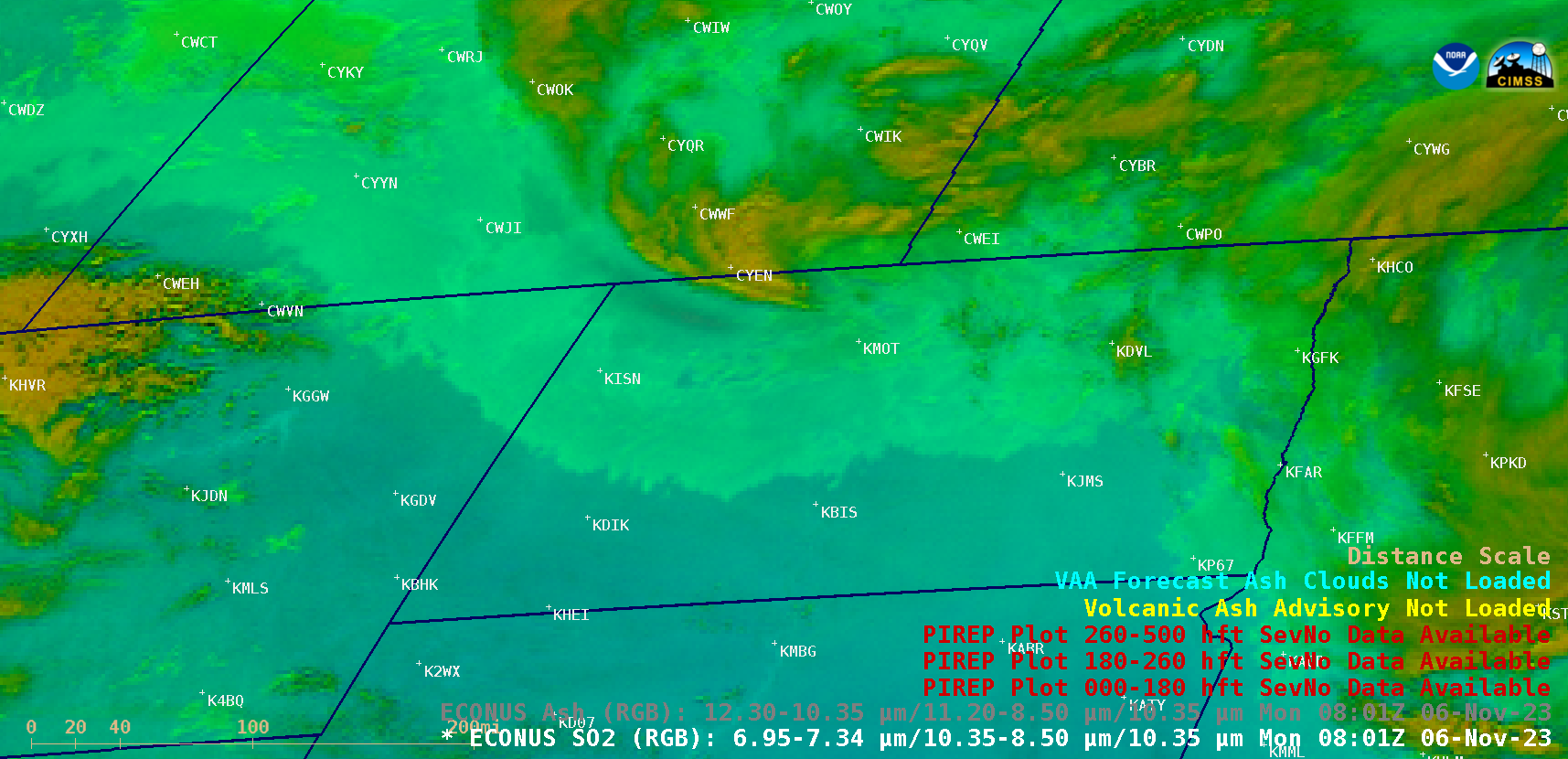
GOES-16 (GOES-East) SO2 RGB and Ash RGB images (above) showed a remnant volcanic cloud from the 31 October Klyuchevskaya eruption as it moved over southern Saskatchewan, northern North Dakota and far northwestern Minnesota on 06 November 2023. The volcanic cloud exhibited brighter shades of orange-yellow in the SO2 RGB imagery, and darker shades of blue in the... Read More
