Warm patch of water in Lake Michigan

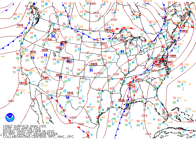
Light winds and clear skies with High Pressure over the western Great Lakes fostered the development of a warm(ish) patch of water over central Lake Michigan on 6 April 2025. (This has happened before!) Light winds means little vertical mixing in the surface layer of the lake, and solar insolation can heat the water. The warmest temperature diagnosed by the ACPSO algorithm was 43oF, green in the enhancement used above.
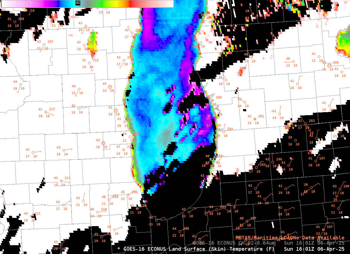
GOES-16 Lake Surface Temperatures, below, show the temporal evolution of the warm eddy, with warmest temperatures between 1700 and 1900 UTC. A mid-lake temperature sensor warms 3 degrees during the day. In addition, lake breezes develop over coastal Wisconsin, Illinois, Indiana and Michigan, just what one might expect in a light wind regime as the land becomes warmer relative to the still-cold lakes.
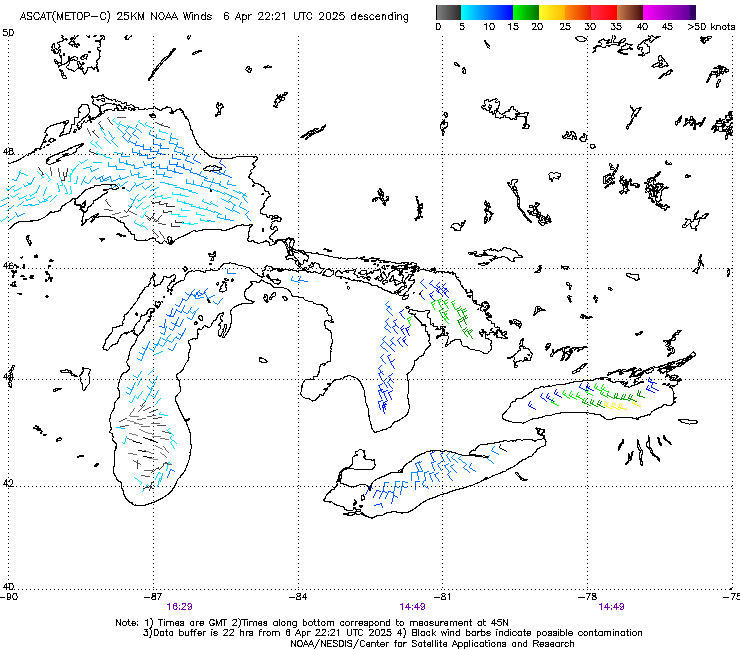
A timely Metop-C overpass on 6 April produced the ASCAT wind plot shown below (from this source). Very light winds were present over southern Lake Michigan.