Satellite signature of ice accretion across parts of Minnesota, Wisconsin and Michigan

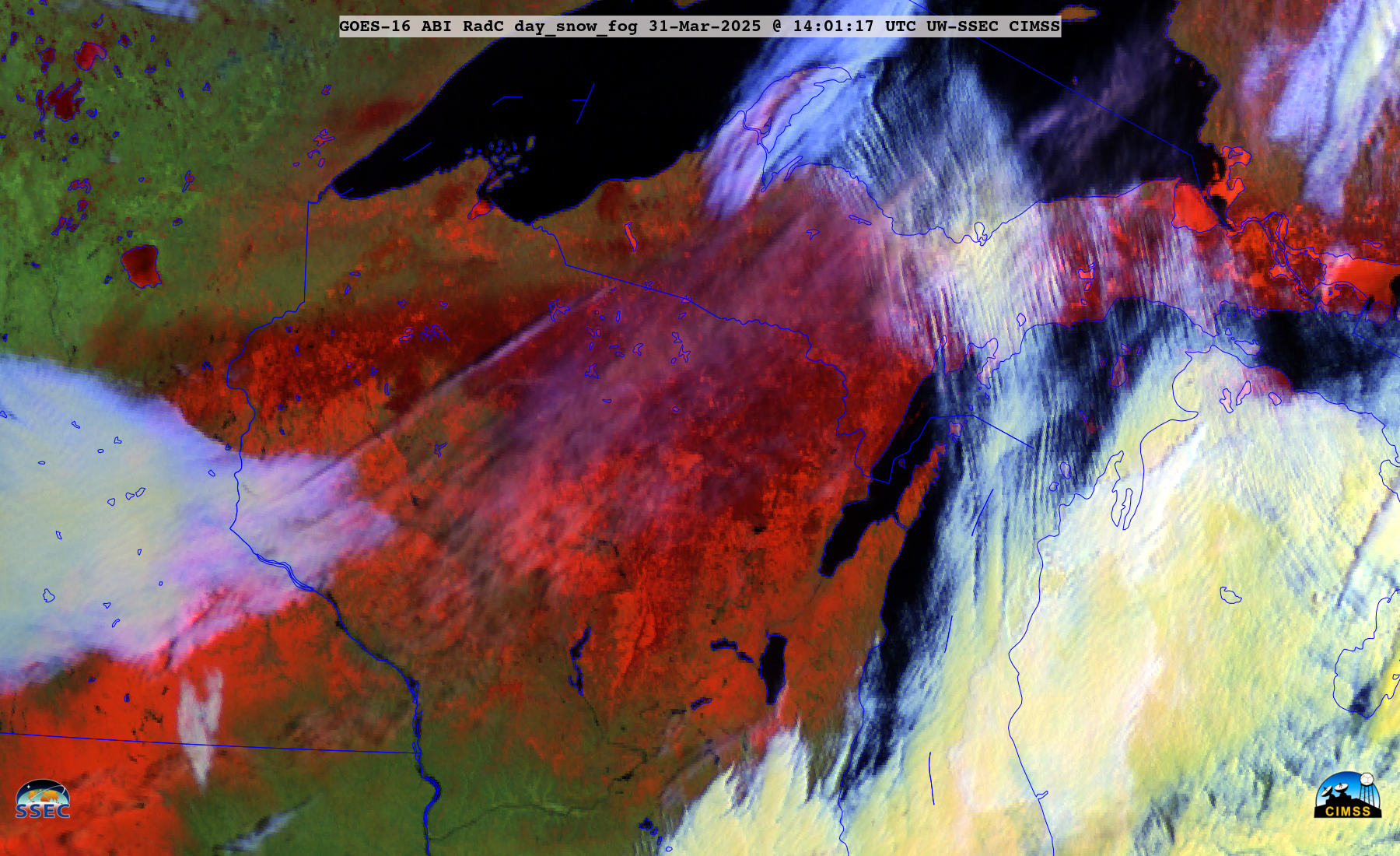
GOES-16 Day Snow-Fog RGB images, from 1301-2301 UTC on 31 March [click to play animated GIF | MP4]
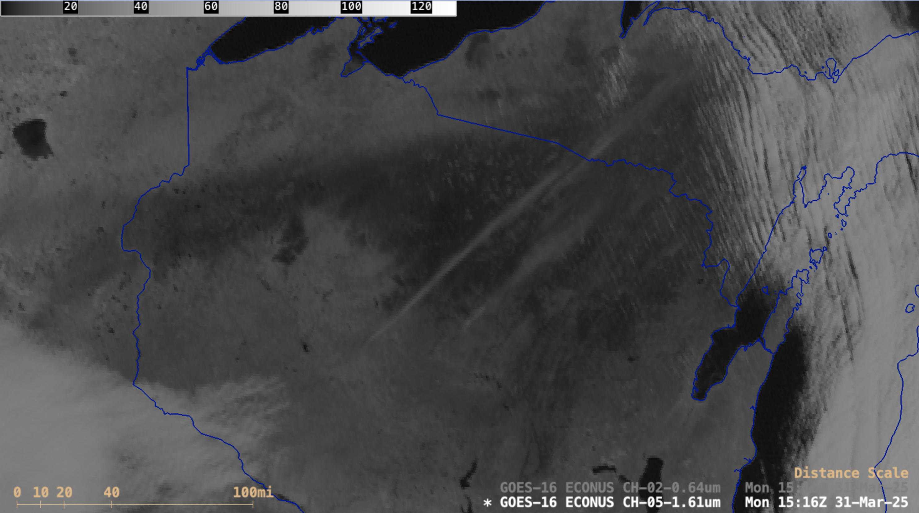
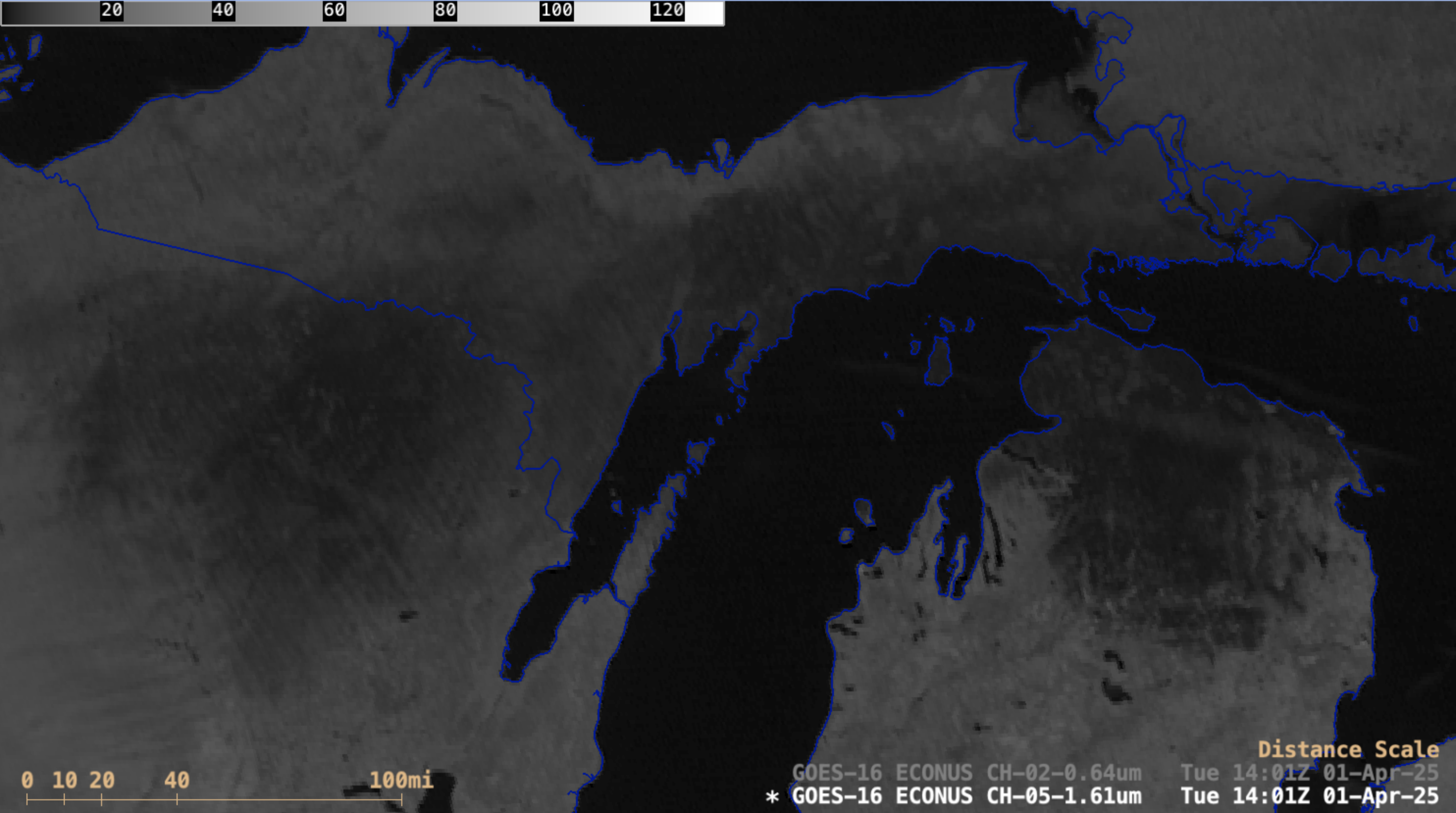
A sequence of GOES-16 Visible and Near-Infrared “Snow/Ice” images is shown below — areas that received significant ice accretion exhibited darker shades of black in the Snow/Ice images. The highest ice accretion amounts in northern Wisconsin were 0.50″ in Forest and Oconto County, with 0.50″ also reported in Delta County in the UP of Michigan.

Sequence of GOES-16 Visible (0.64 µm) and Near-Infrared “Snow/Ice” (1.61 µm) images (with/without County outlines/names), from 1306-2301 UTC on 31 March [click to play MP4 animation]

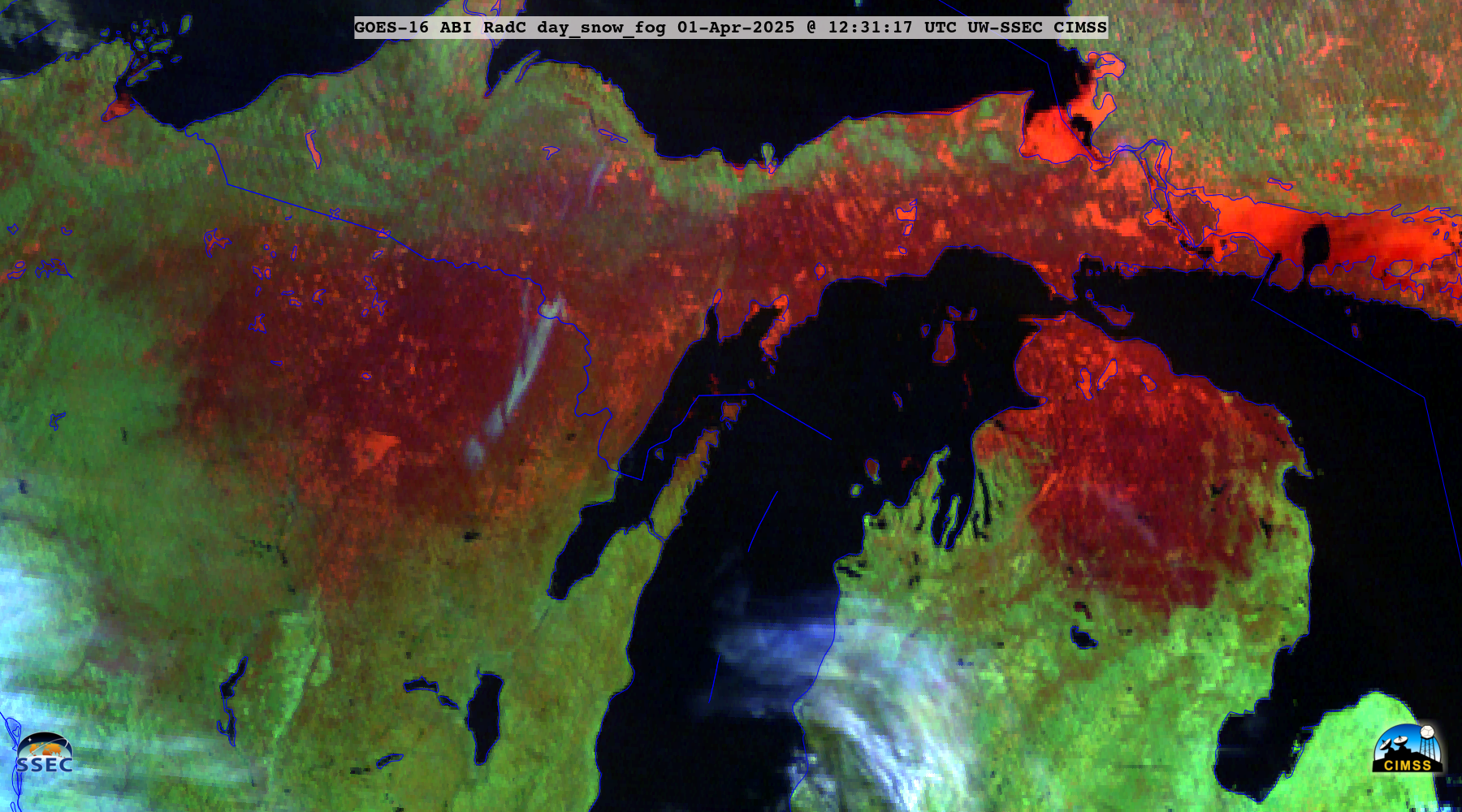
GOES-16 Day Snow-Fog RGB images, from 1231-1651 UTC on 01 April [click to play animated GIF | MP4]


