Day Cloud Phase Distinction and Snow Bands
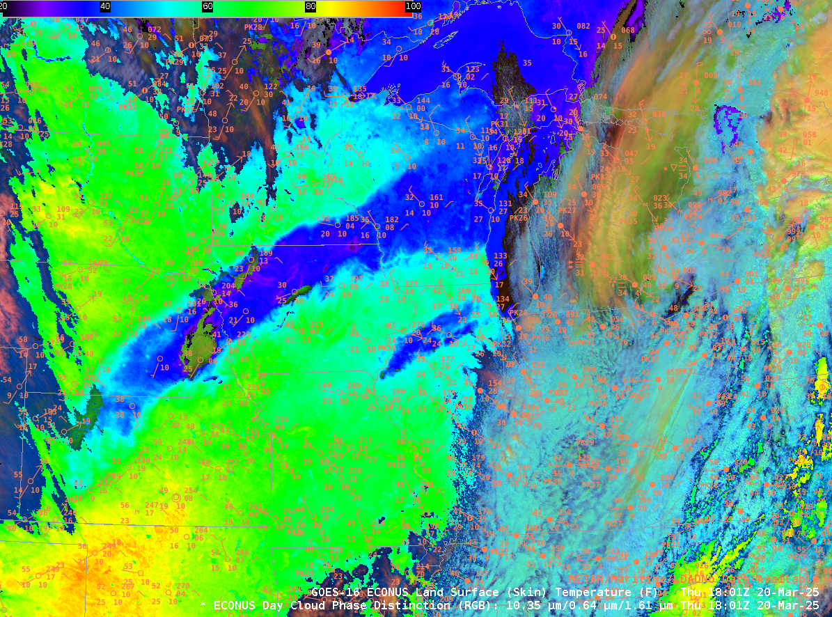
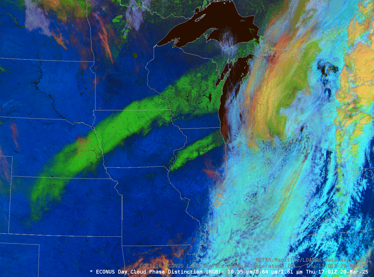
The Slider above compares the Day Cloud Phase Distinction RGB over the central United States with the derived Land Surface Temperature (LST), an hourly Level-2 product. Two snow bands over the central United States are a characteristic bright green in the RGB because there are minimal contributions there in the red and blue. The frozen lakes over northern Minnesota share the bright green color in the RGB. Land Surface Temperature over the snow (around 30oF in Iowa) is very different from the bare ground on either side (low/mid-60s F). LST values over the snow in Kansas are above freezing, so you might expect the snow there to melt more quickly. (This toggle compares 1701 and 2016 UTC imagery, and the erosion of snow over Kansas, Nebraska and Illinois is obvious).
Surface observations plotted over the Land Surface Temperature plot, below, show that temperatures at thermometer level (typically about 1.5 m above the ground) are far cooler than the surface skin temperature under the strong March Sun on the Equinox.