Blowing snow across eastern North Dakota and western Minnesota
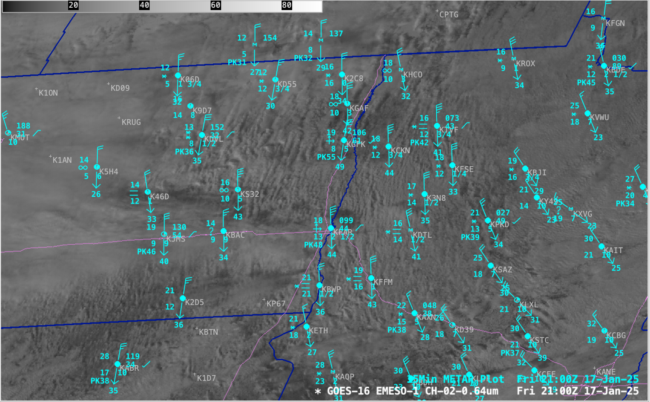
1-minute GOES-16 Red Visible (0.64 µm) images — with/without plots of 15-minute METAR surface reports — from 1651-2200 UTC on 17th January; Interstate highways are plotted in violet [click to play MP4 animation]
1-minute GOES-16 Blowing Snow RGB images created using Geo2Grid (below) provided a clearer depiction of where the HCRs coincided with blowing snow. Existing snow cover appeared as darker shades of red in the RGB imagery, while bare ground appeared as brighter shades of green; supercooled water droplet clouds appeared as brighter shades of white, with mixed phase or glaciating clouds taking on pale shades of green.

1-minute GOES-16 Blowing Snow RGB images, from 1700-2159 UTC on 17th January [click to play animated GIF | MP4]