30-second images of the NASA/Boeing Starliner launch
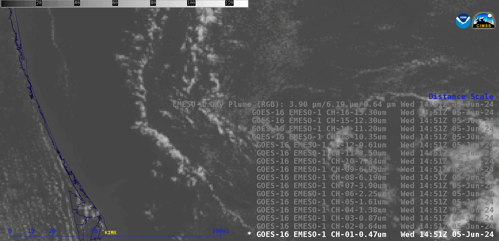
Stepped sequence of 30-second GOES-16 images from all 16 ABI spectral bands, plus a Rocket Plume RGB; KXMR denotes the location of the Cape Kennedy rawinsonde launch site [click to play animated GIF | MP4]
A larger-scale view of 30-second GOES-16 Rocket Plume RGB images created using Geo2Grid (below) spans an additional 2 minutes — showing the rocket booster signature extending even farther to the northeast.
![30-second GOES-16 Rocket Plume RGB images (courtesy Tim Schmit, NOAA/NESDIS) [click to play MP4 animation]](https://cimss.ssec.wisc.edu/satellite-blog/images/2024/06/Plume_GOES-16_ABI_RadM1_plume_2024157_145623Z.png)
30-second GOES-16 Rocket Plume RGB images (courtesy Tim Schmit, NOAA/NESDIS) [click to play MP4 animation]