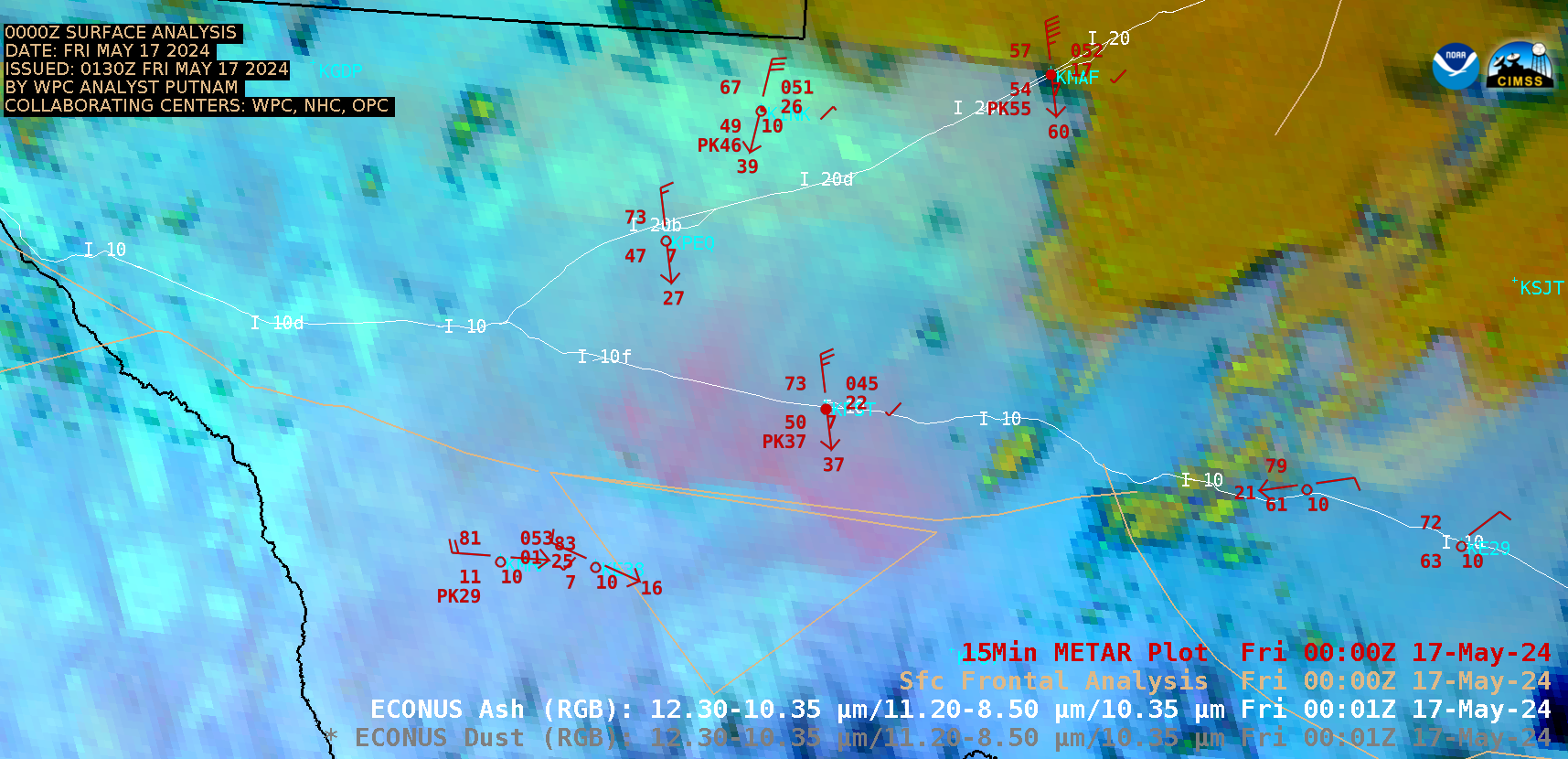
Blowing dust in West Texas

GOES-16 Ash RGB images [click to play animated GIF | MP4]
GOES-16 True Color RGB images from the CSPP GeoSphere site (below) provided a clearer view of the areal coverage of this blowing dust.
By Scott Bachmeier •

GOES-16 Ash RGB images [click to play animated GIF | MP4]
GOES-16 True Color RGB images from the CSPP GeoSphere site (below) provided a clearer view of the areal coverage of this blowing dust.
Categories: Air quality, GOES-16, Red-Green-Blue (RGB) images