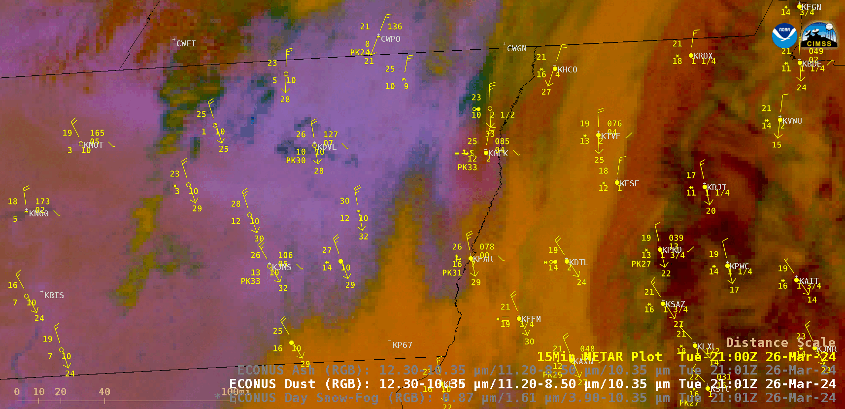
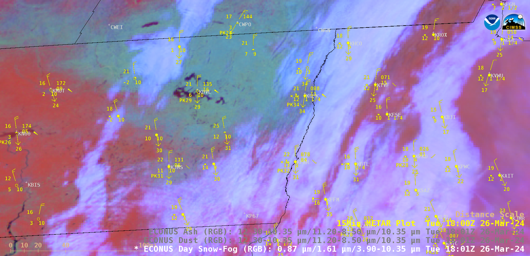
Blowing snow and blowing dust in Grand Forks ND
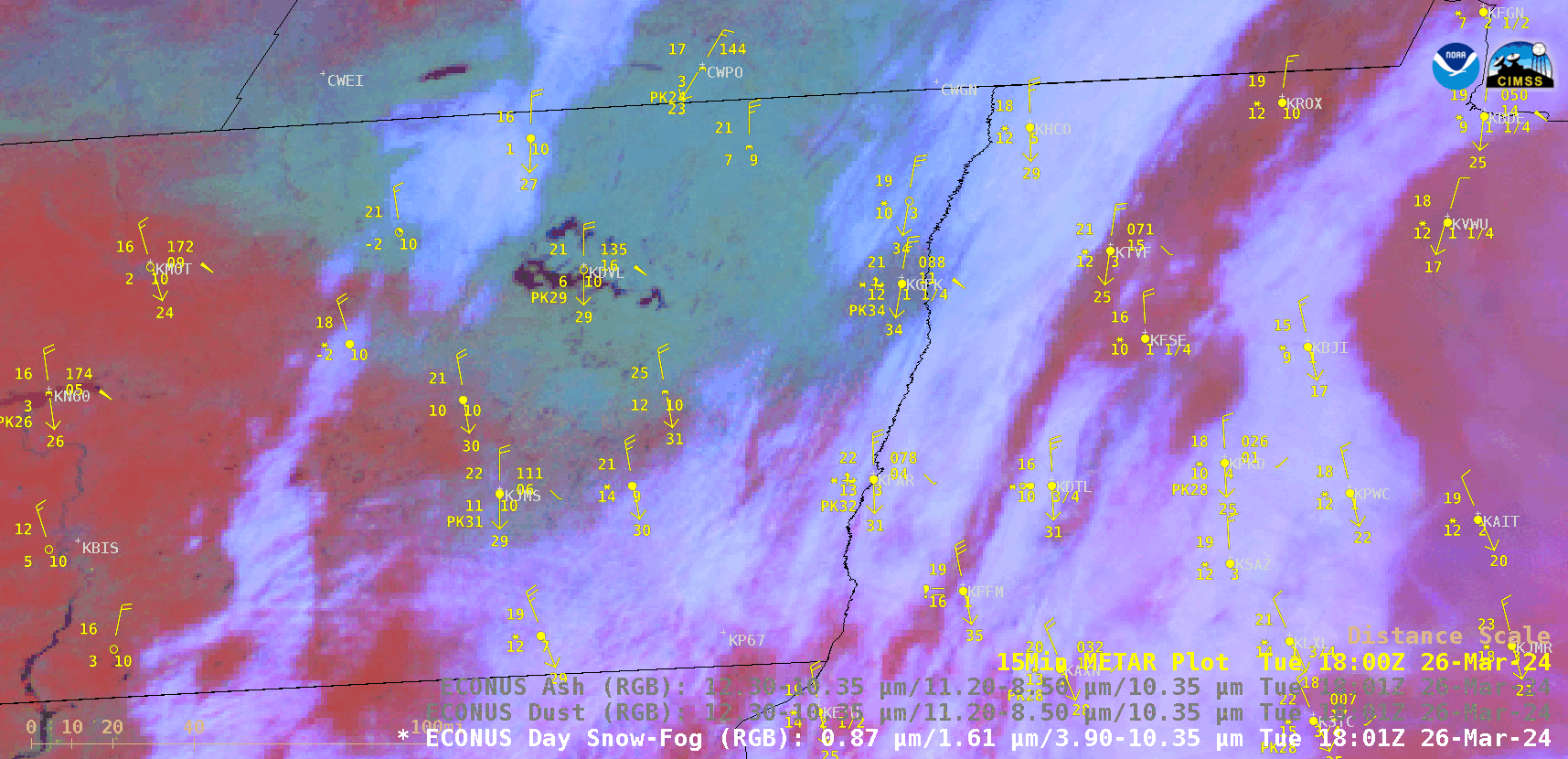
GOES-16 Day Snow-Fog RGB and Dust RGB images, from 1801 UTC on 26 March to 0001 UTC on 27 March [click to play animated GIF | MP4]
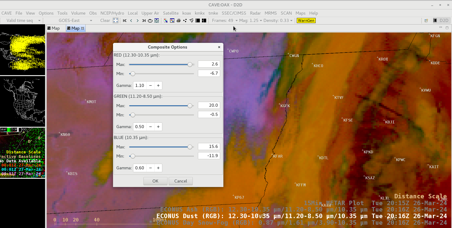
GOES-16 Dust RGB images without plots of METAR reports are shown below. In this case, the Gamma values for each RGB component were adjusted in Composite Options, to further enhance the brighter pink appearance of the blowing dust.
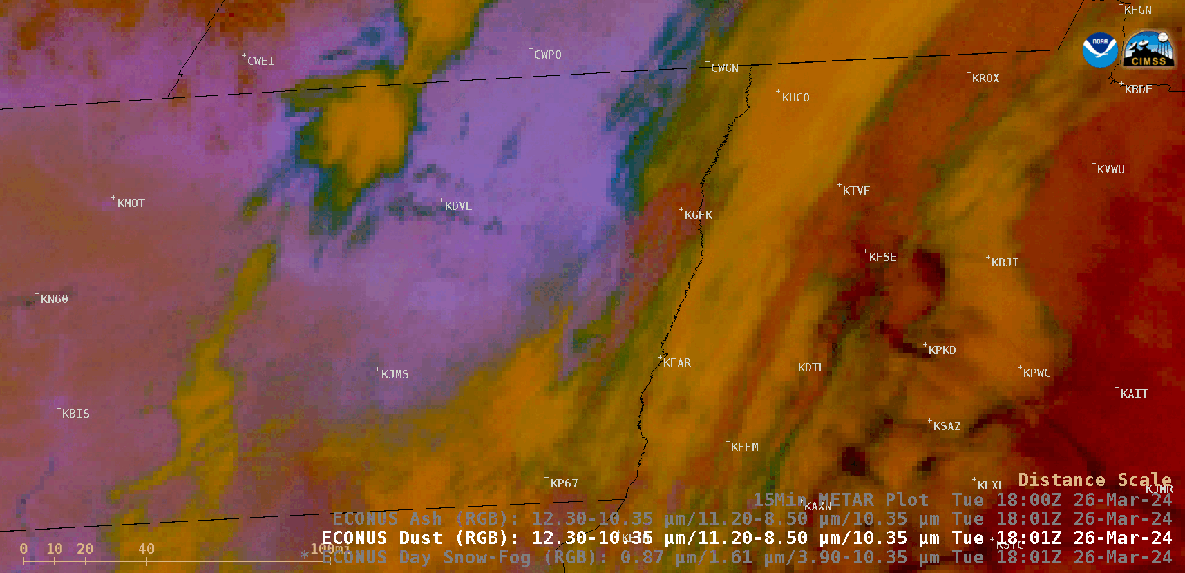
GOES-16 Day Dust RGB images (without plots of METAR reports), from 1801 UTC on 26 March to 0001 UTC on 27 March [click to play animated GIF | MP4]
GOES-16 Dust RGB image at 2101 UTC, along with an image of topography [click to enlarge]
GOES-16 Day Snow-Fog RGB image at 1801 UTC [click to enlarge]
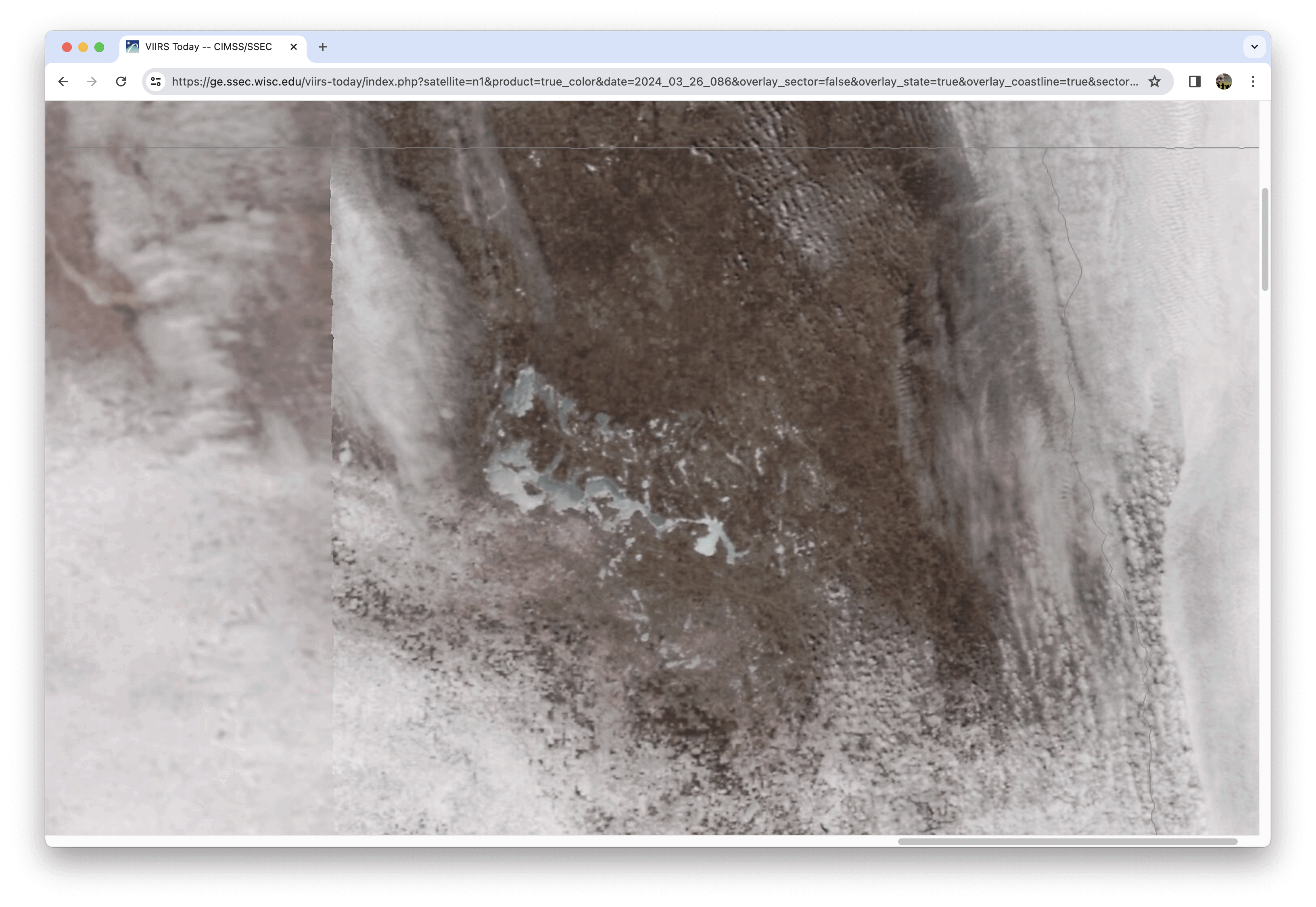
VIIRS True Color RGB images from NOAA-20 and Suomi-NPP, centered over Devils Lake in northeastern North Dakota on 26 March [click to enlarge]
______________
On the following day, GOES-16 True Color RGB images from the CSPP GeoSphere site (below) displayed numerous long, narrow streaks of fresh snow cover — oriented from north to south — that were produced by the convective snow showers on 26 March. Given that the new snowfall amounts within those narrow streaks were generally light (Grand Forks only reported about 1 inch of new snow), they melted rather quickly.
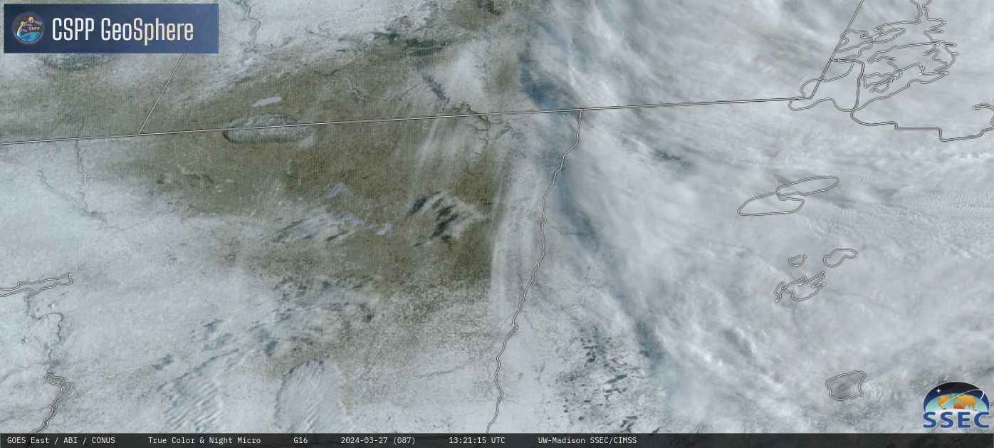
GOES-16 True Color RGB images, from 1301-1801 UTC on 27 March [click to play MP4 animation]