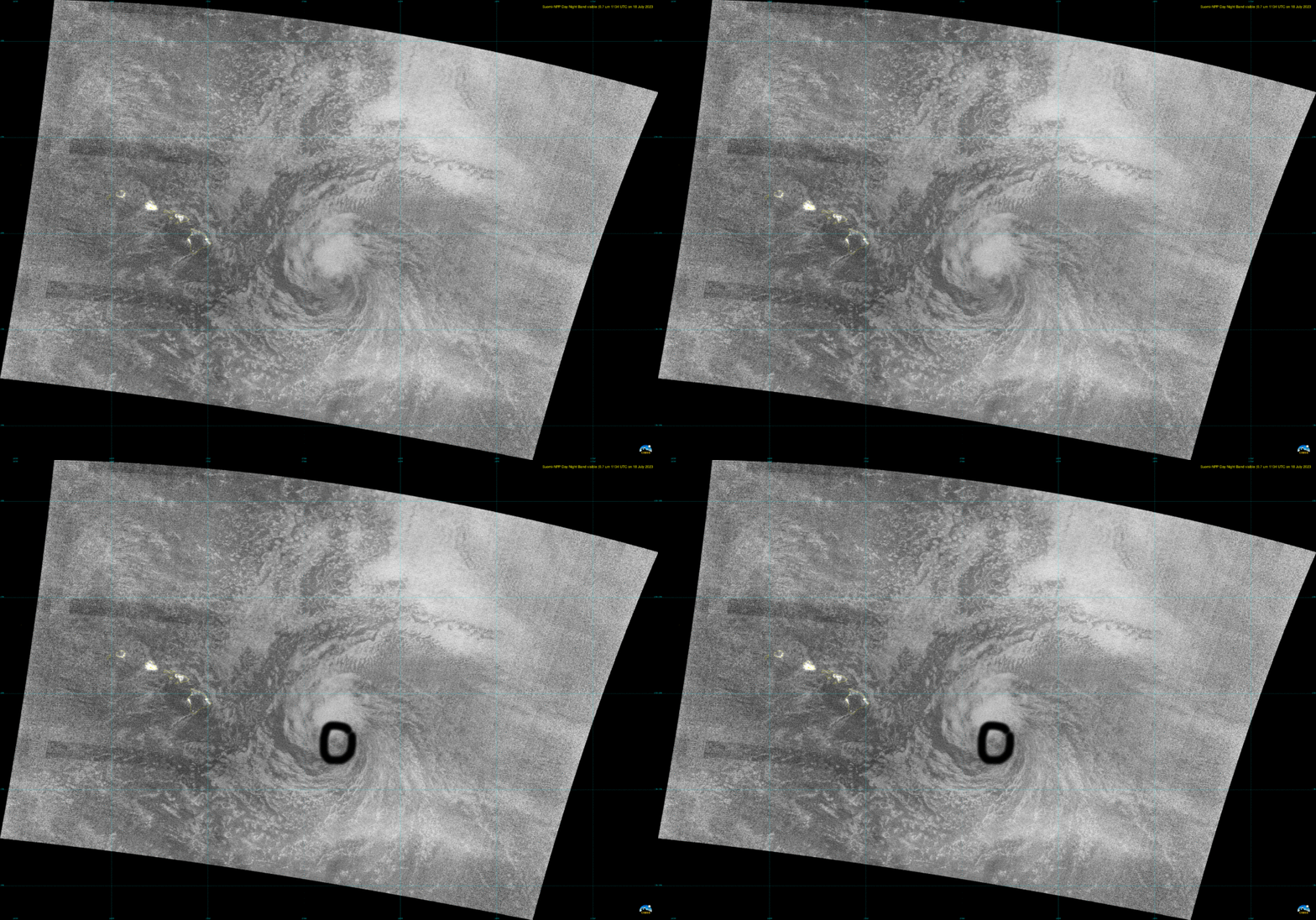
Morning view of Tropical Storm Calvin east of Hawai’i from Suomi-NPP’s Day Night Band

Suomi NPP overflew Tropical Storm Calvin to the east of Hawai’i at around 1136 UTC on 18 July. Data downloaded from the NODD, and processed by Polar2Grid (version 3.0), show the storm in very low light conditions, above. Calvin is moving rapidly westward towards Hawai’i, and interests in that state — especially those on the Big Island — should closely monitor the storm’s progress. For more information refer to the Central Pacific Hurricane Center and the National Weather Service Forecast office in Honolulu.
Editor’s note: Part of the impetus for this post was to see just how promptly an image could be uploaded from the NODD. The Suomi NPP data showed up at about 1315 UTC, and the image above was published at 1342 UTC, about two hours after the satellite overflew the storm.
Day Night Band imagery can often be used to view the center of a sheared storm overnight. Is that the case in the low-light situation (New Moon was on 17 July!) above? The animation below, from the CSPP Geo site, with views from every three hours, shows a center displaced from the main convection before sunset (0301 UTC on 17 September) and after sunrise (1801 UTC on 18 September). It’s not difficult then to use the Day Night band image above — even with the very low contrast — to infer a center location, as noted.

__________

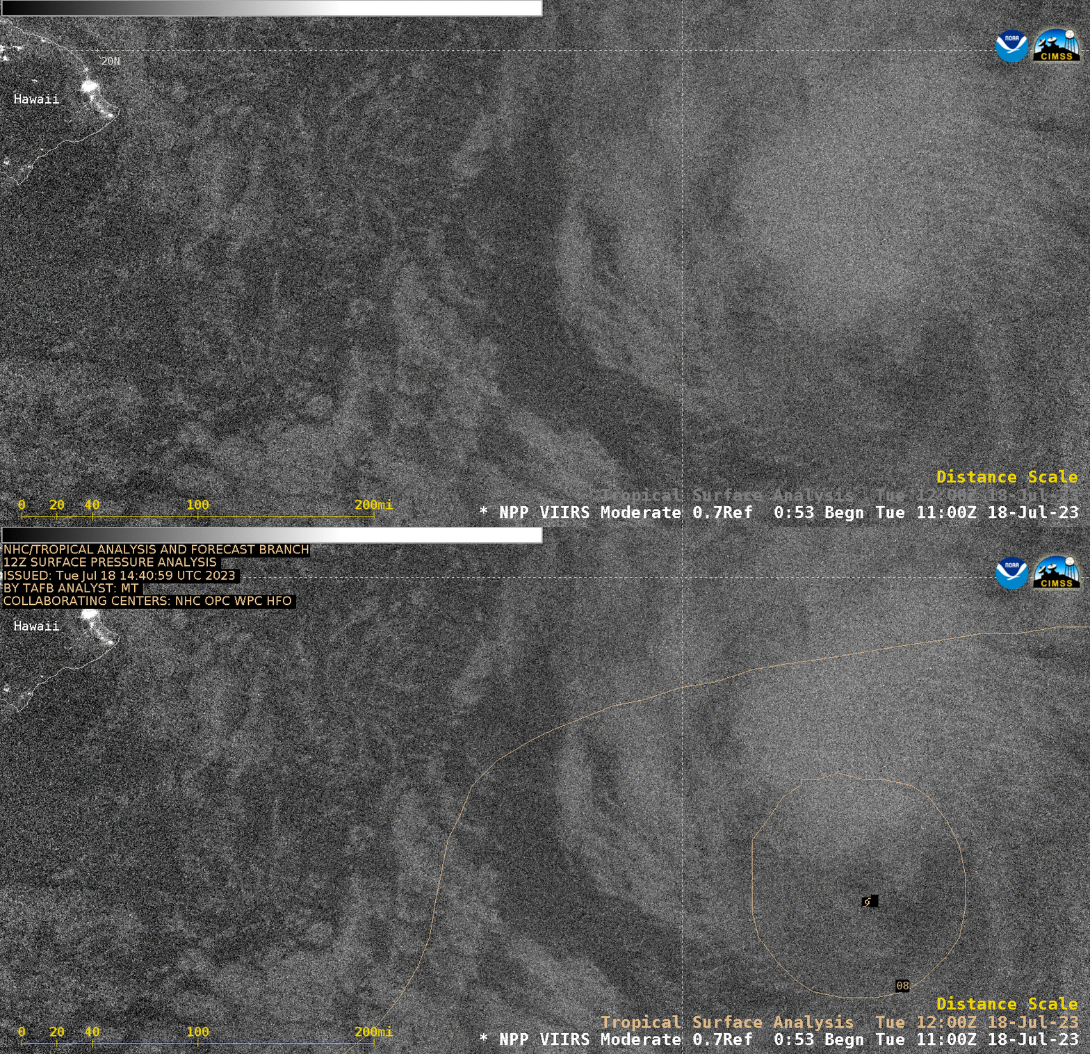
Suomi-NPP VIIRS Day/Night Band (0.7 µm) image valid at 1138 UTC, with/without an overlay of the 1200 UTC Tropical Surface Analysis (courtesy Scott Bachmeier, CIMSS) [click to enlarge]
The Suomi-NPP VIIRS Day/Night Band image valid at 1138 UTC — which later became available in AWIPS — is shown above, with/without an overlay of the 1200 UTC Tropical Surface Analysis. As previously noted, Calvin’s exposed low-level circulation center can faintly be seen just south of the deep convection (even in such low-light conditions, with the Moon in its Waxing Crescent phase just 1 day after a New Moon).

