Atmospheric Bore structure over Wisconsin
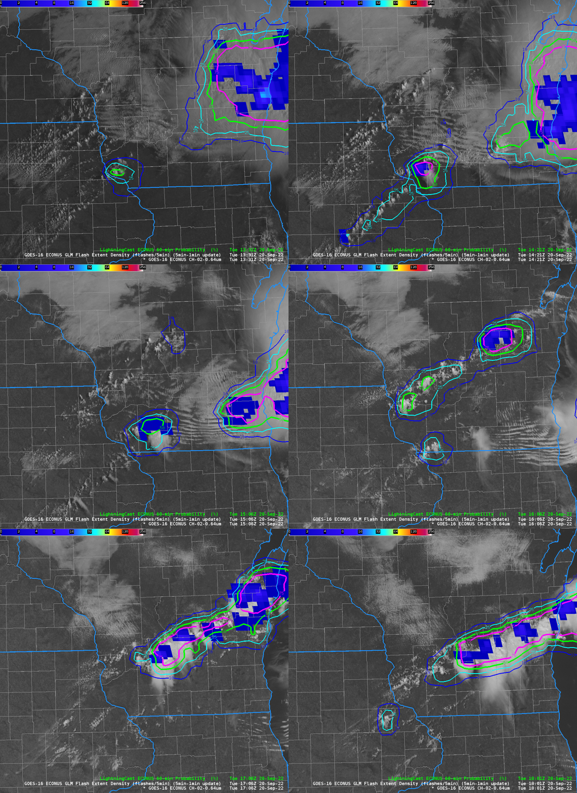
GOES-16 Visible Imagery, in the mp4 animation above (click here for an animated gif), shows convection initially over central Wisconsin at sunrise moving eastward over Lake Michigan into lower Michigan. In its wake, cloud lines extending east-west move southward into southward Wisconsin. Parallel lines such as these are typically associated with atmospheric bores, previously discussed many times on this blog (link). A bore is usually associated with stable air; note how the convective line over southwestern WI at around 1500 UTC dissipates after 1600 UTC as it encounters the stable air associated with the bore.
LightningCast Probabilities are consistent with the southern convective line encountering air that is more stable, as shown above in an animation that pauses at 1506 UTC; lightning probabilities decrease with the southern line as they increase with the northern line that eventually sweeps southward through southern Wisconsin, producing hail.

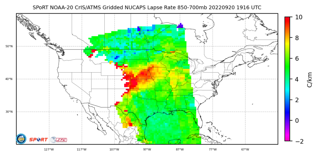
NOAA-20 overflew this region shortly after 1900 UTC on 20 September. The gridded 850-700 mb lapse rate, below, from this site, shows a region of more stable air over/around Chicago and southern Lake Michigan that is perhaps residual stability related to the bore feature.

Shout-out to Rebecca, a forecaster at WFO GRB, for also noticing these lines!
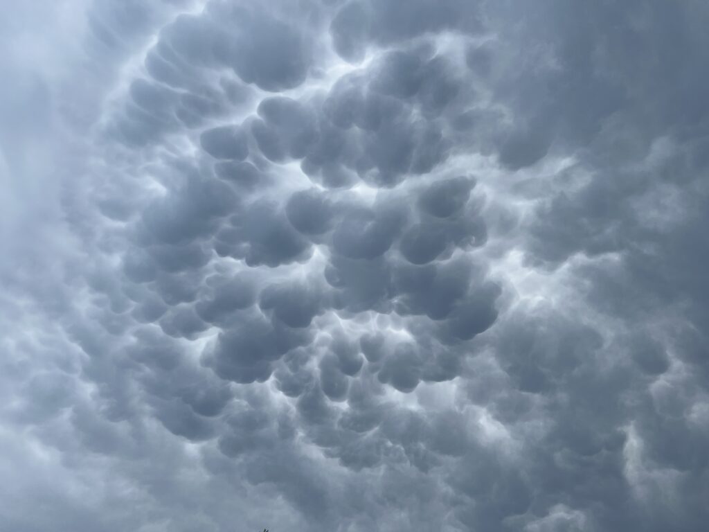
The thunderstorms were followed by mammatus clouds over Madison, as shown in the image below, courtesy Bill Bellon, UW-Madison SSEC/CIMSS.

TL;DR: Departing convection put down stable layer defined by atmospheric bore. Convection encountering this stable layer dissipated. Stronger convection moved in later, depositing hail.

